We recognize and honor the indigenous peoples, including, but not limited to, the Tolowa Dee-ni’ and Takelma, who were violently removed from this land. We hope to help in ending the colonial mentality that was and is perpetuated through manifest destiny. We oppose the continued genocide and erasure of indigenous cultures and the ongoing subjugation of Earth and her species.
Welcome to Deer Creek Watershed
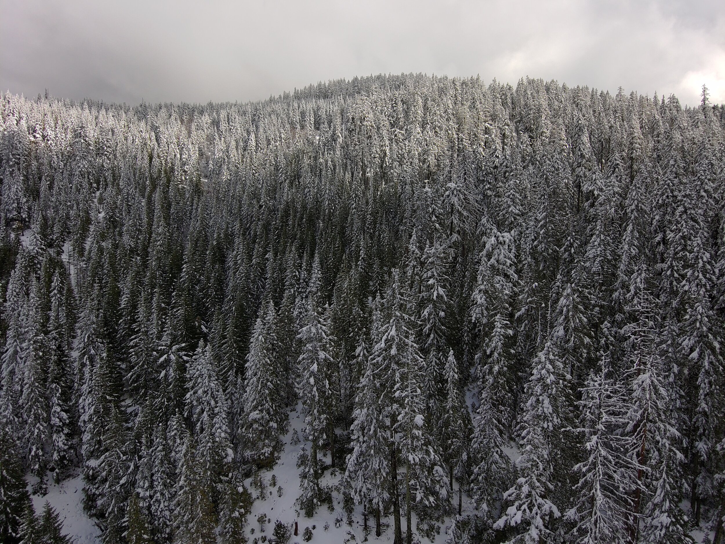
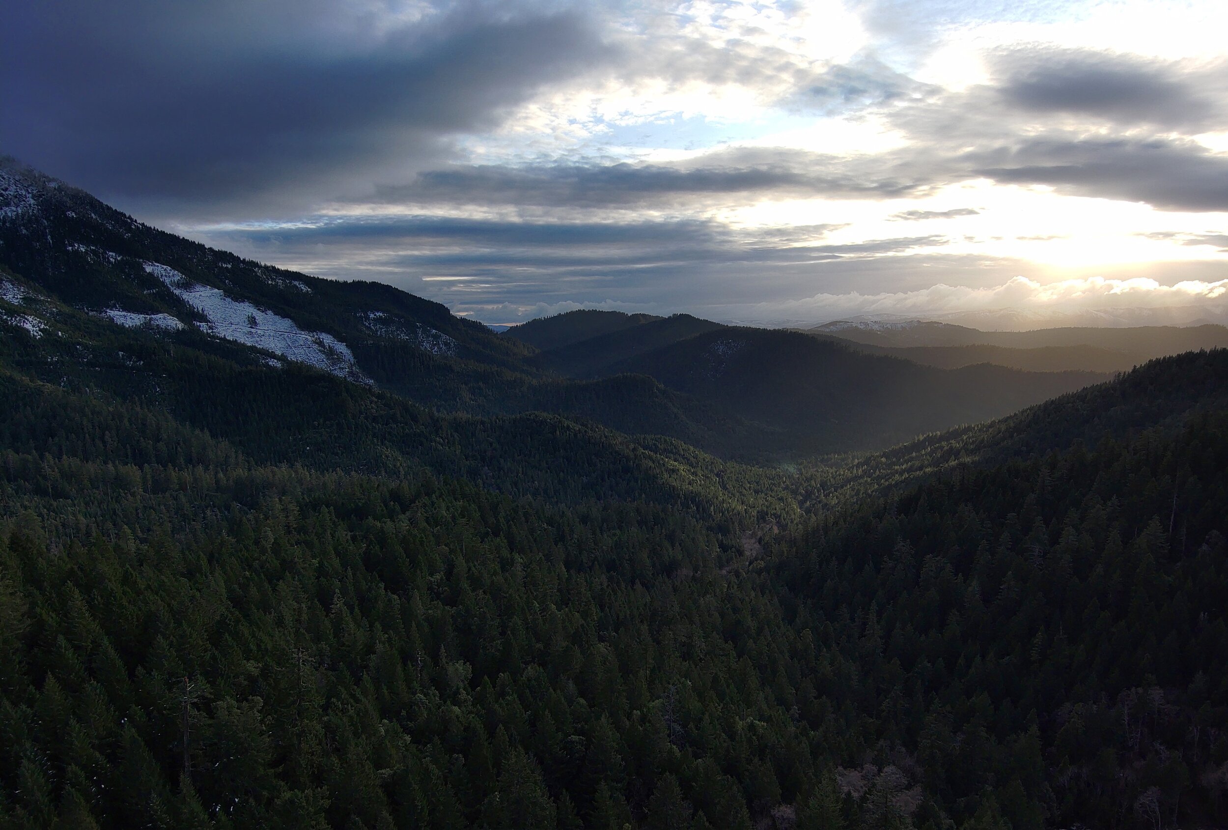
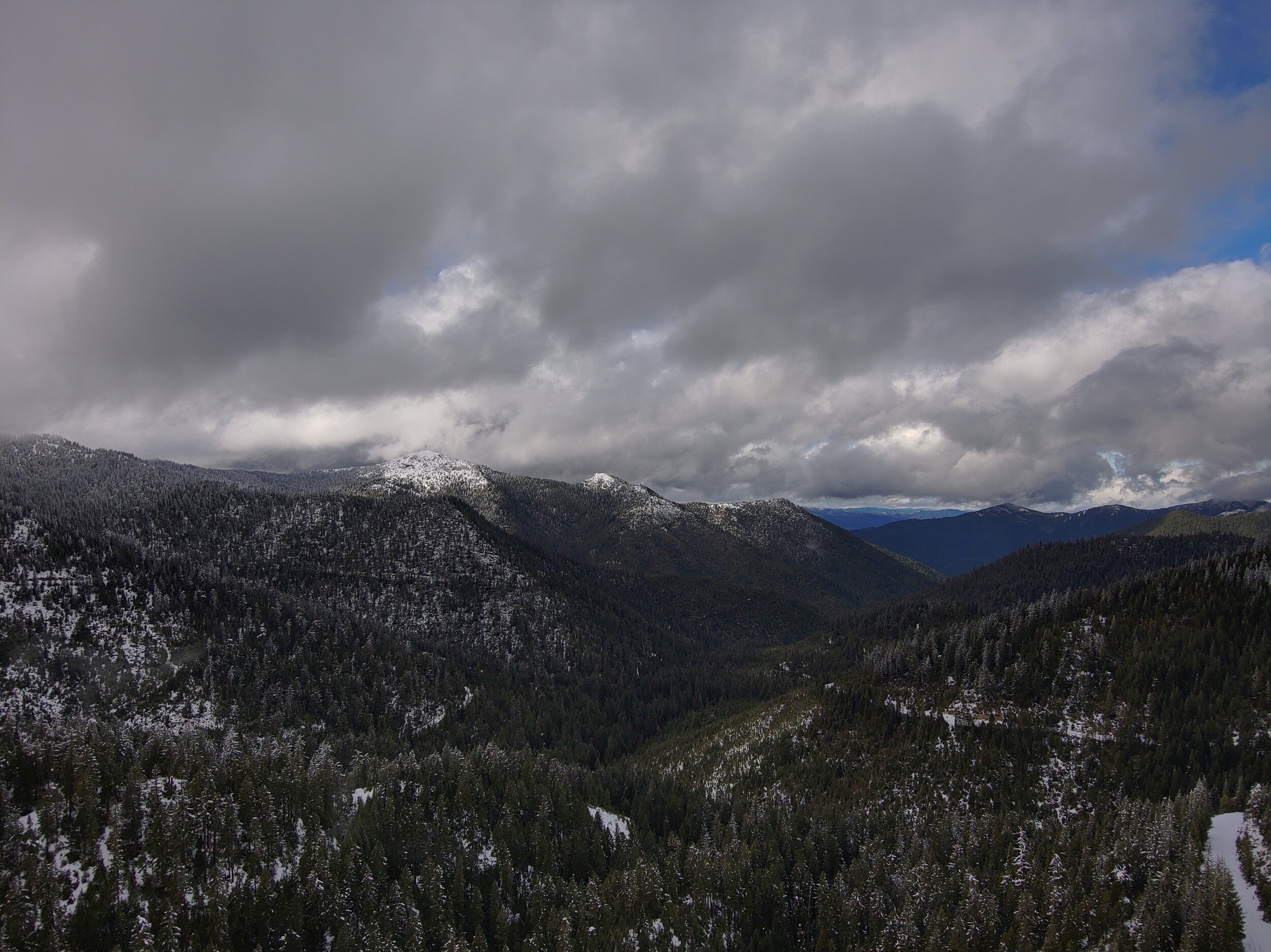
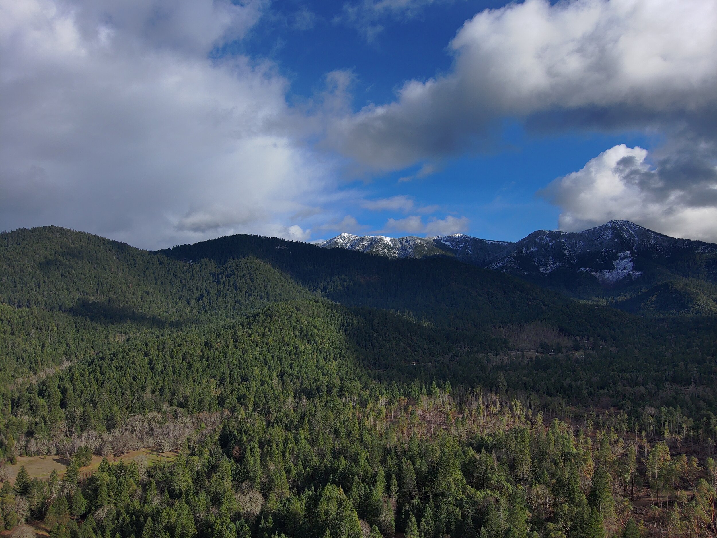
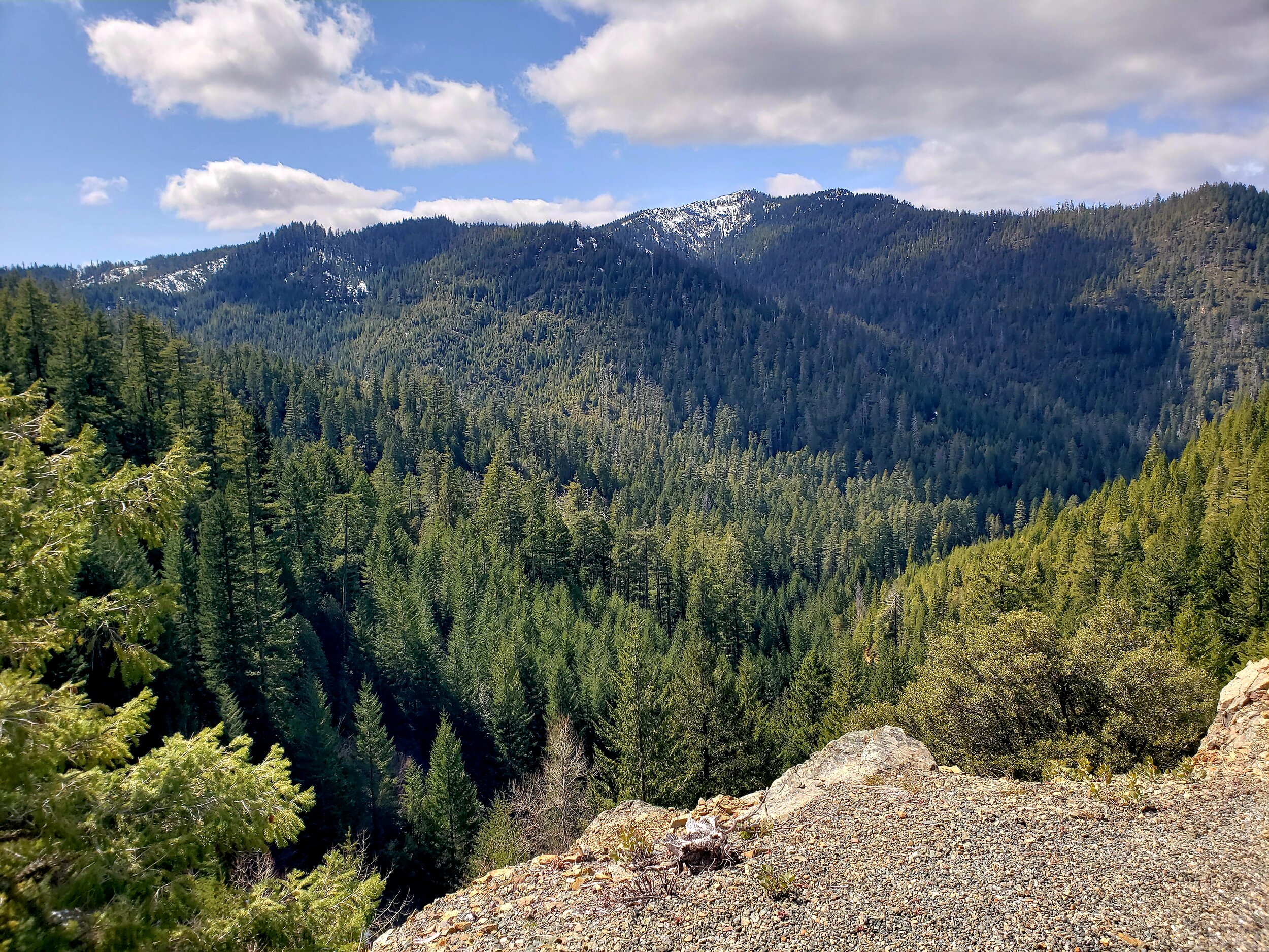
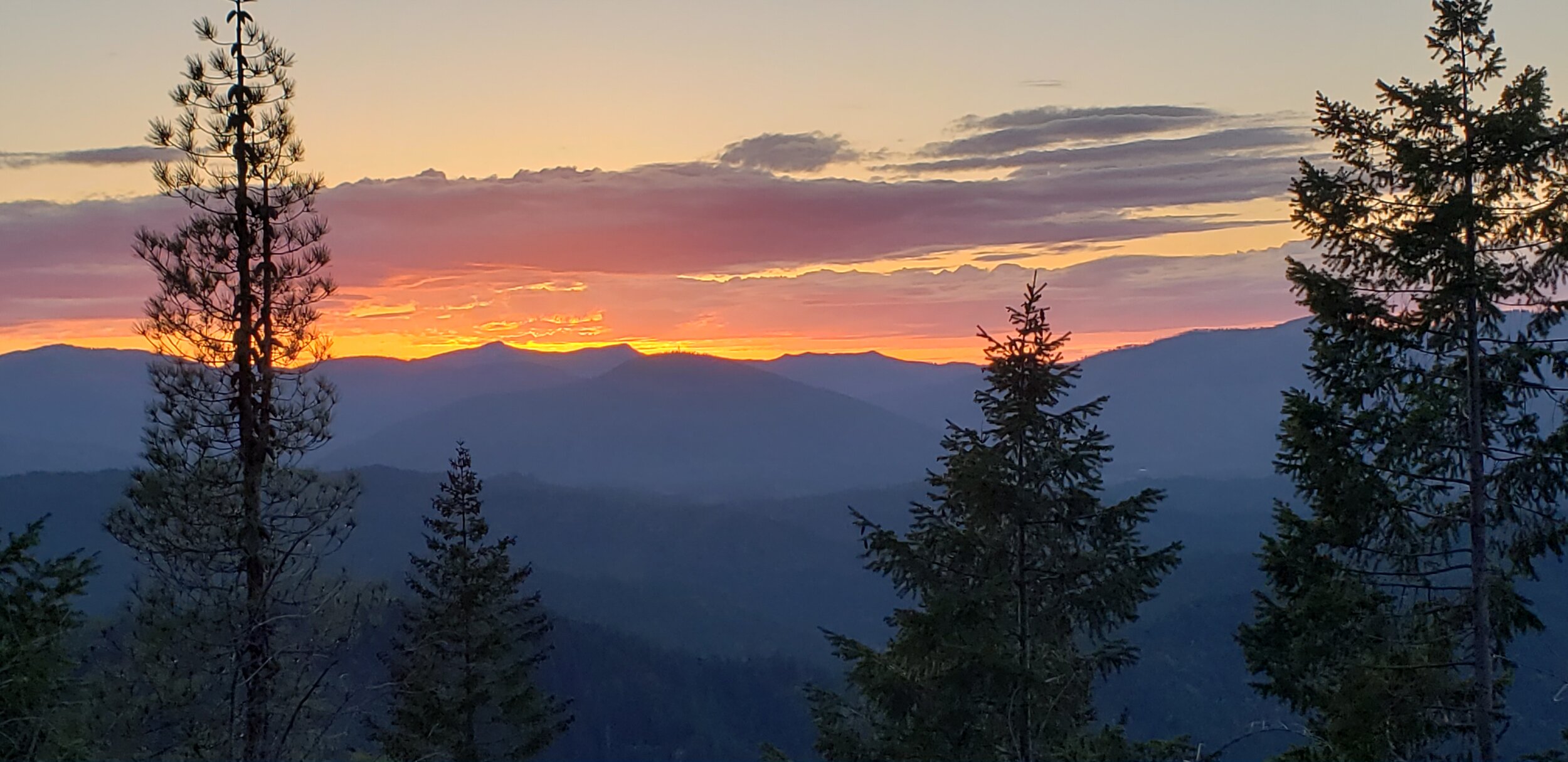
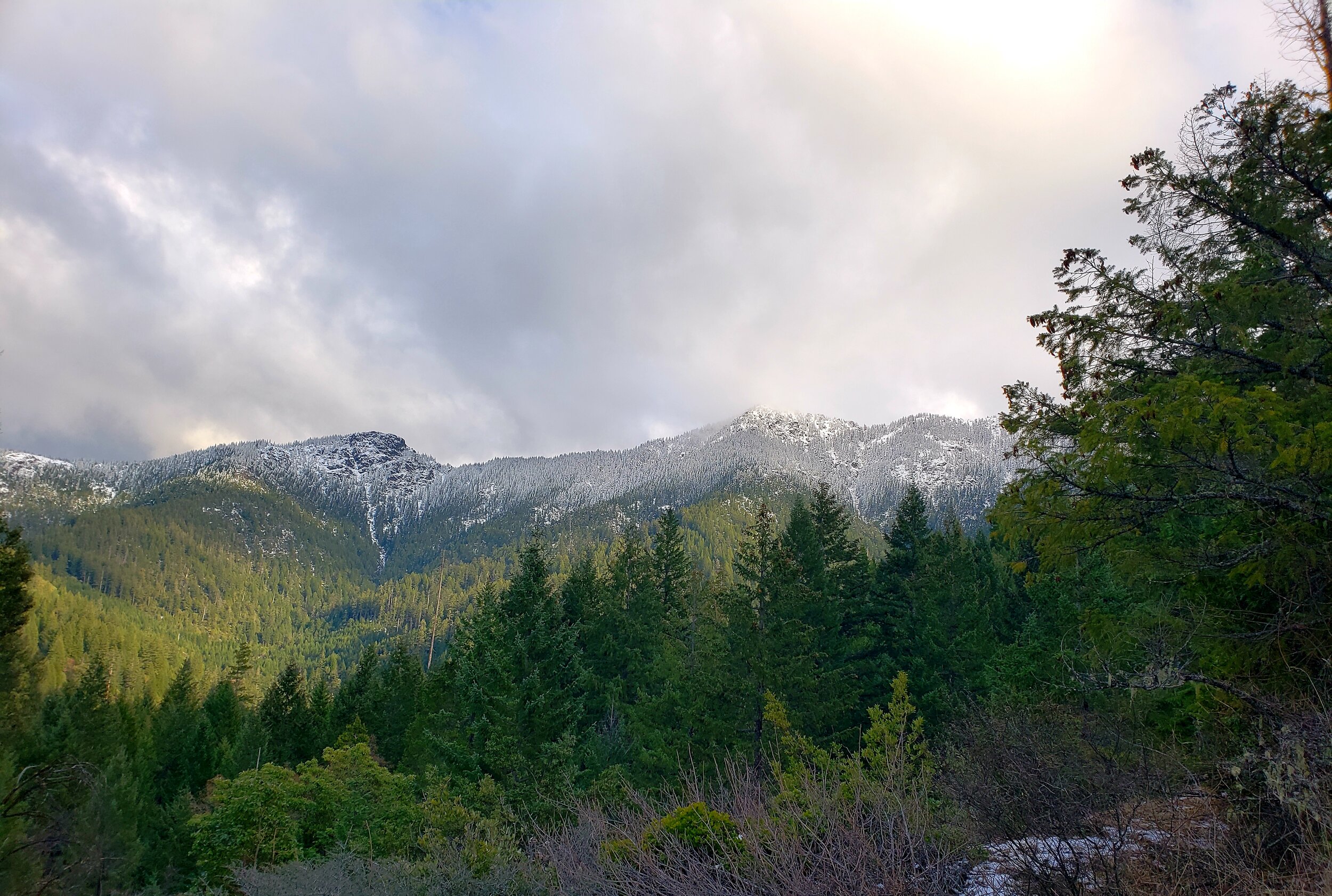
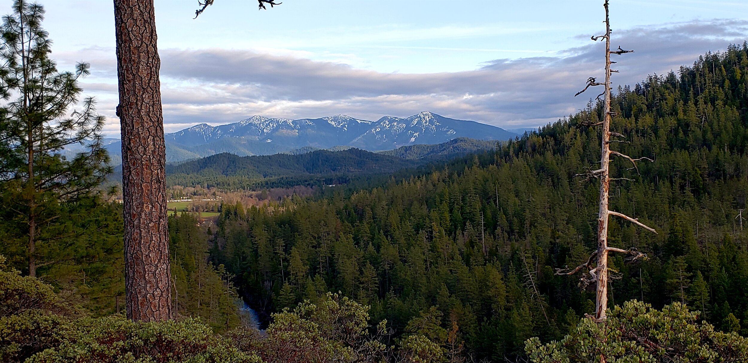
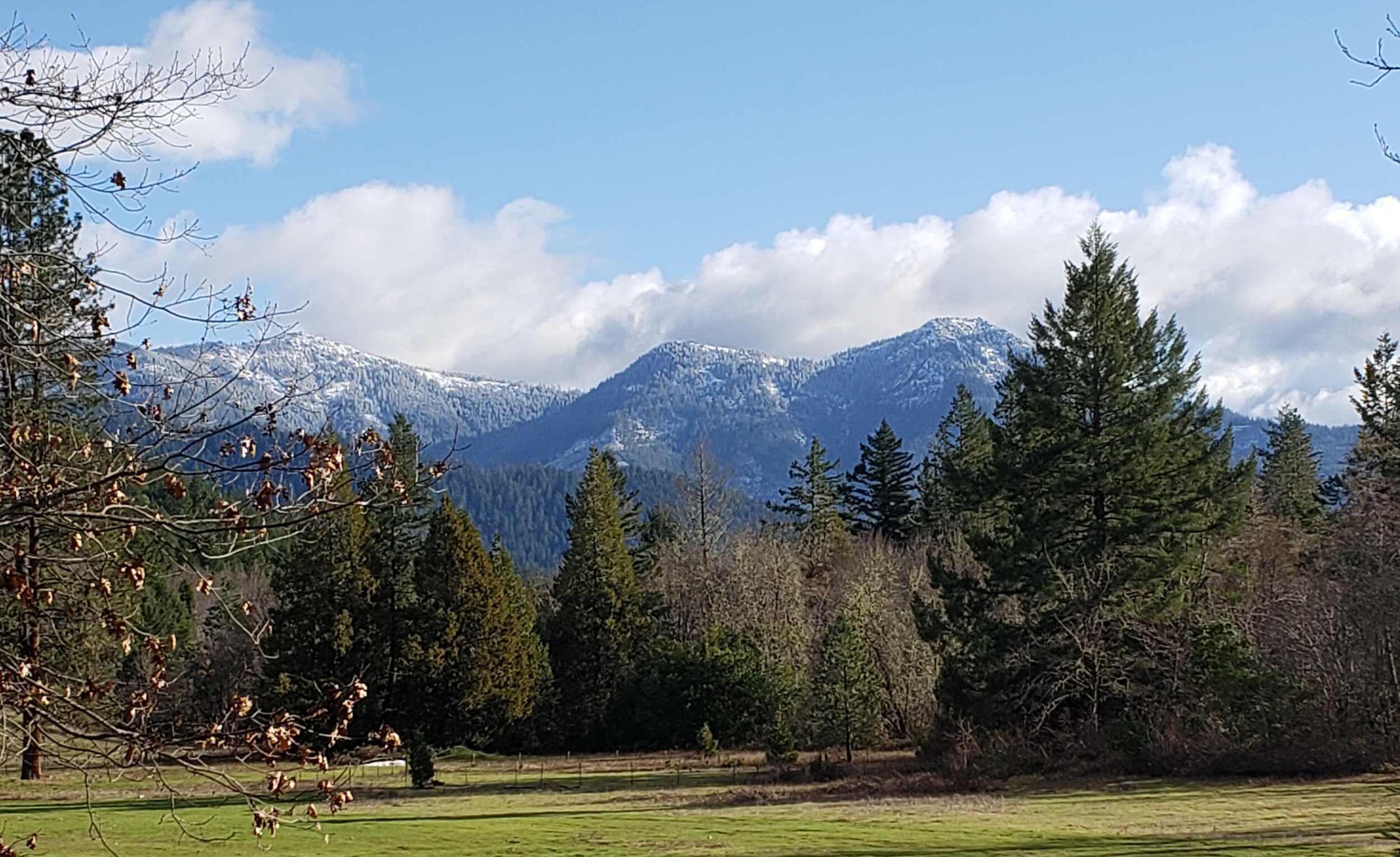
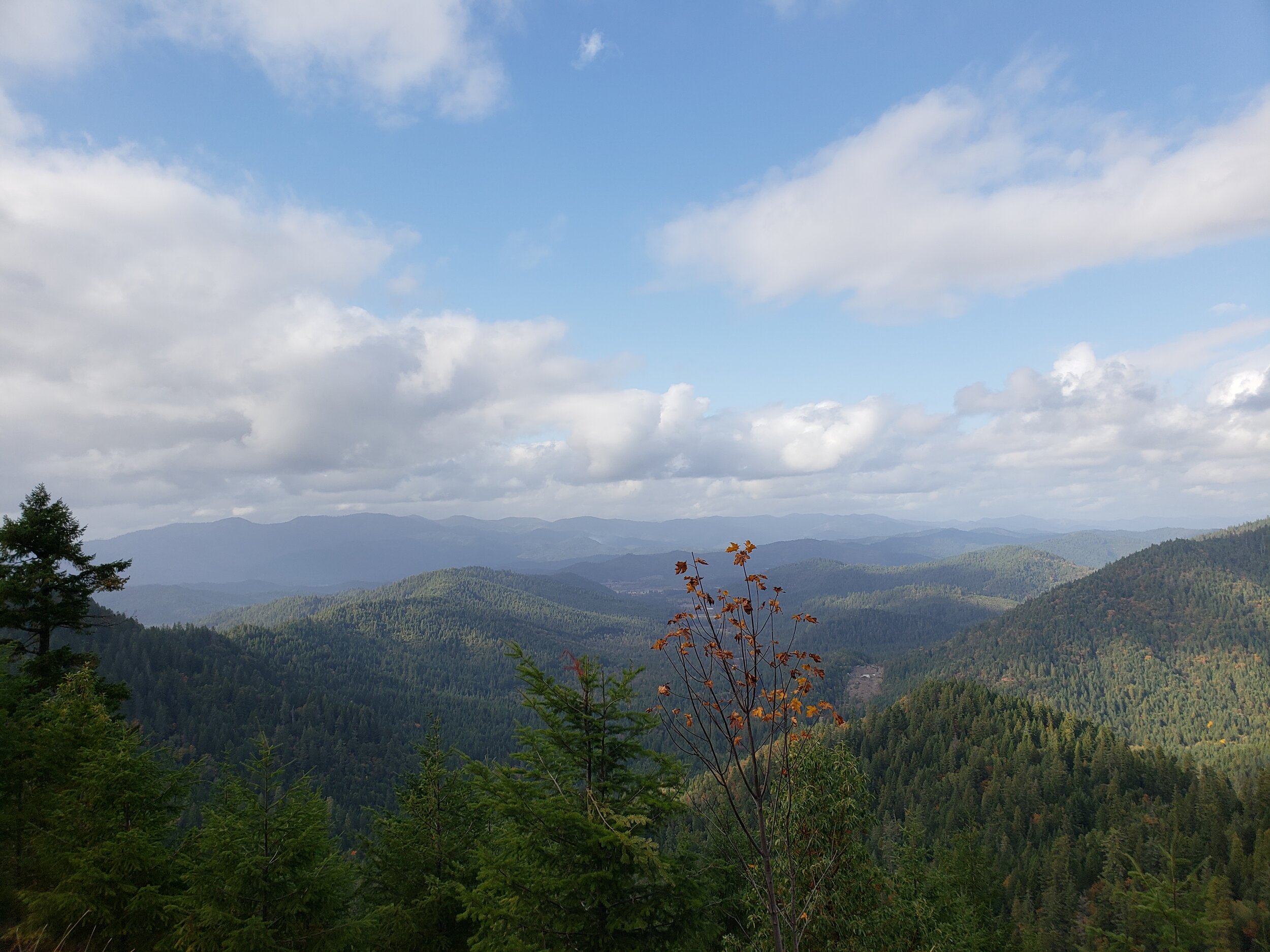
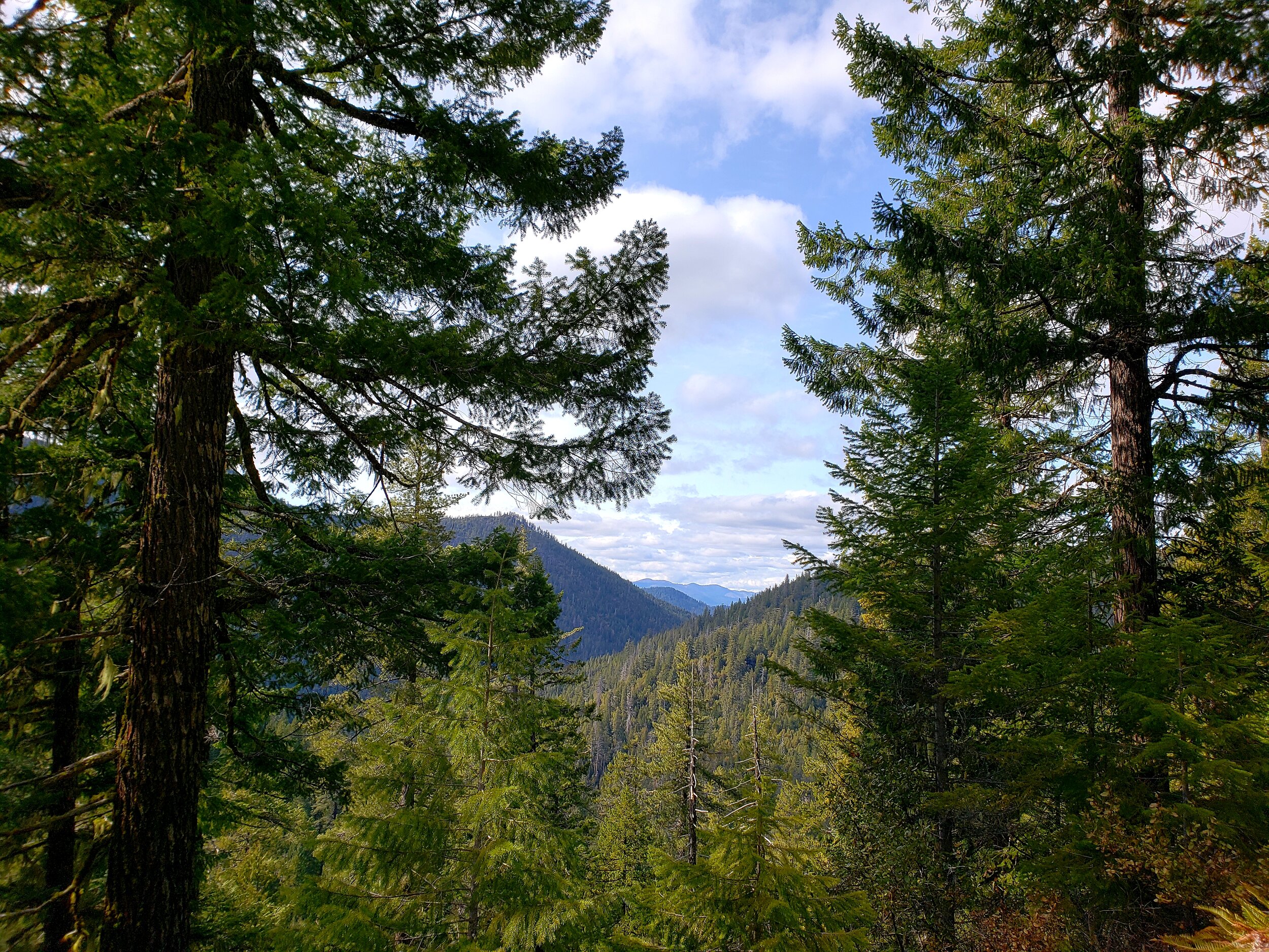
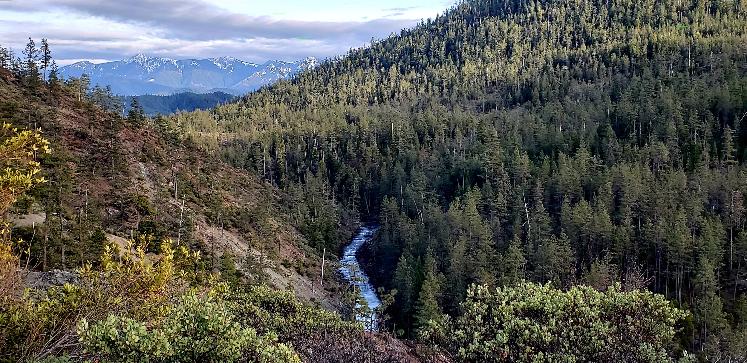
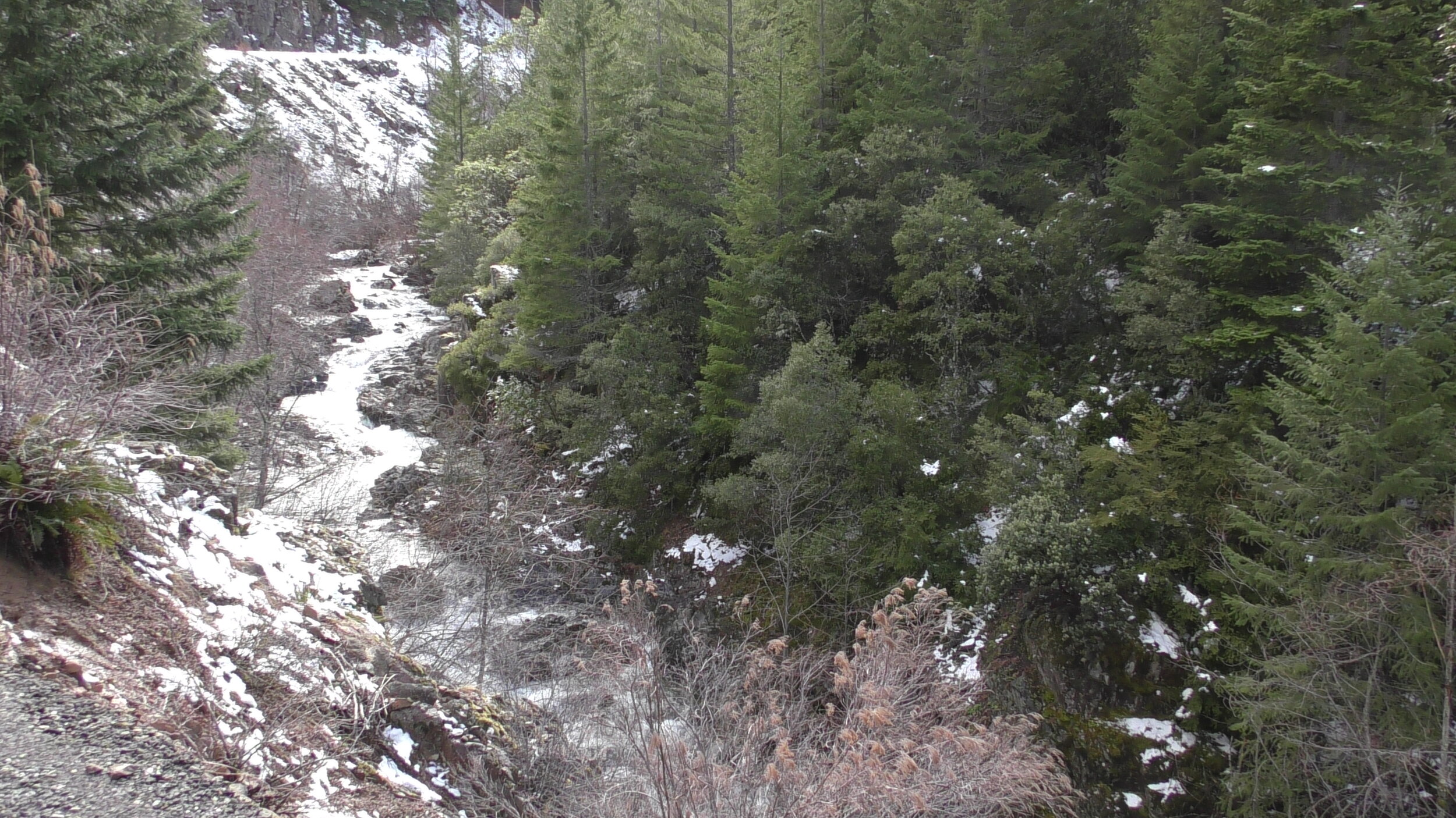
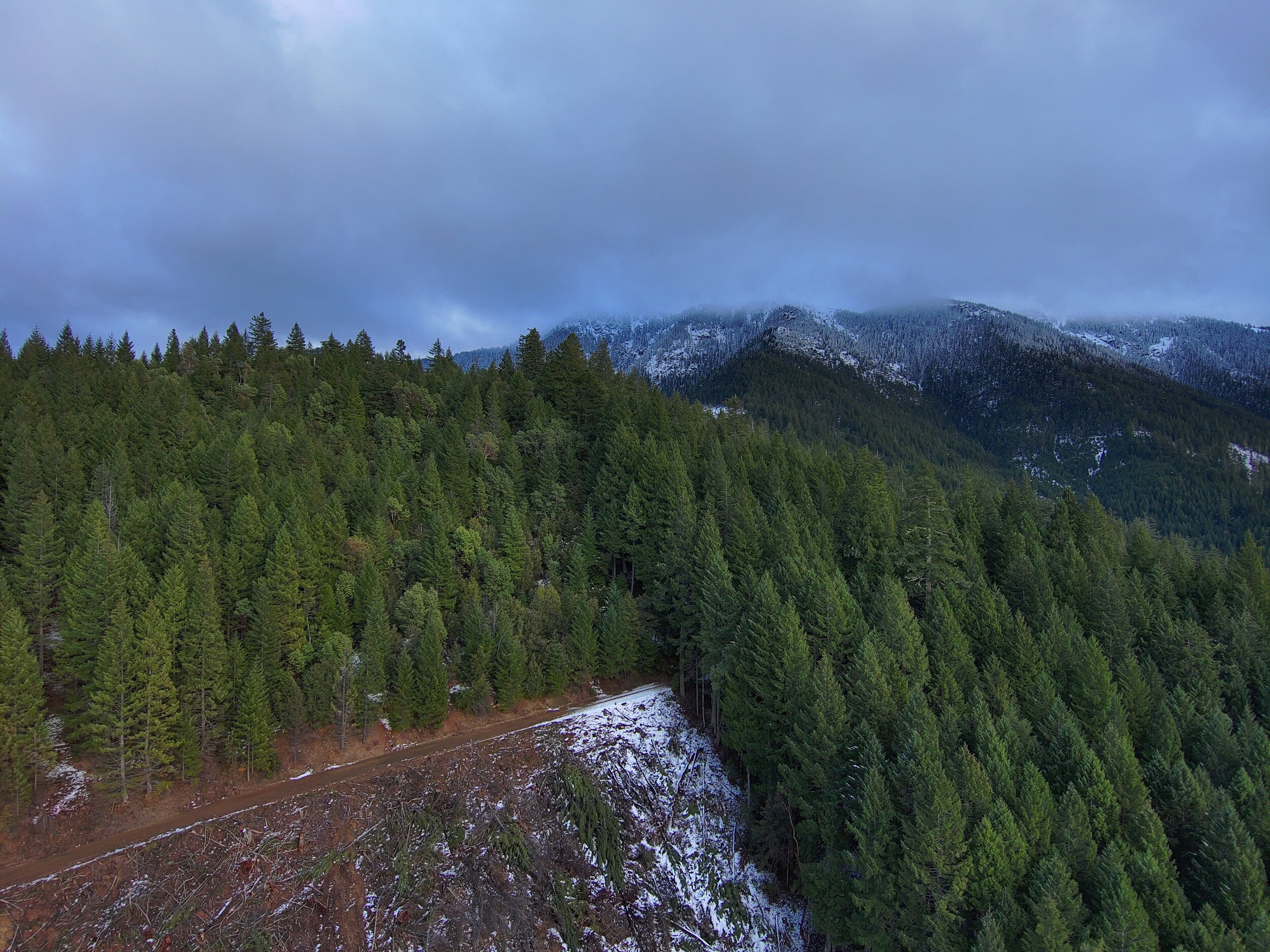
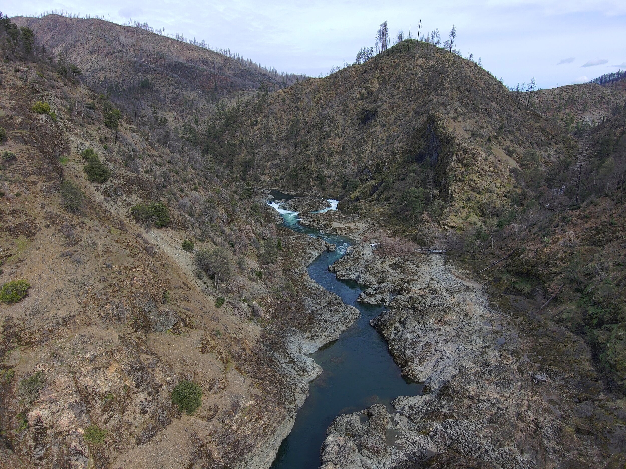
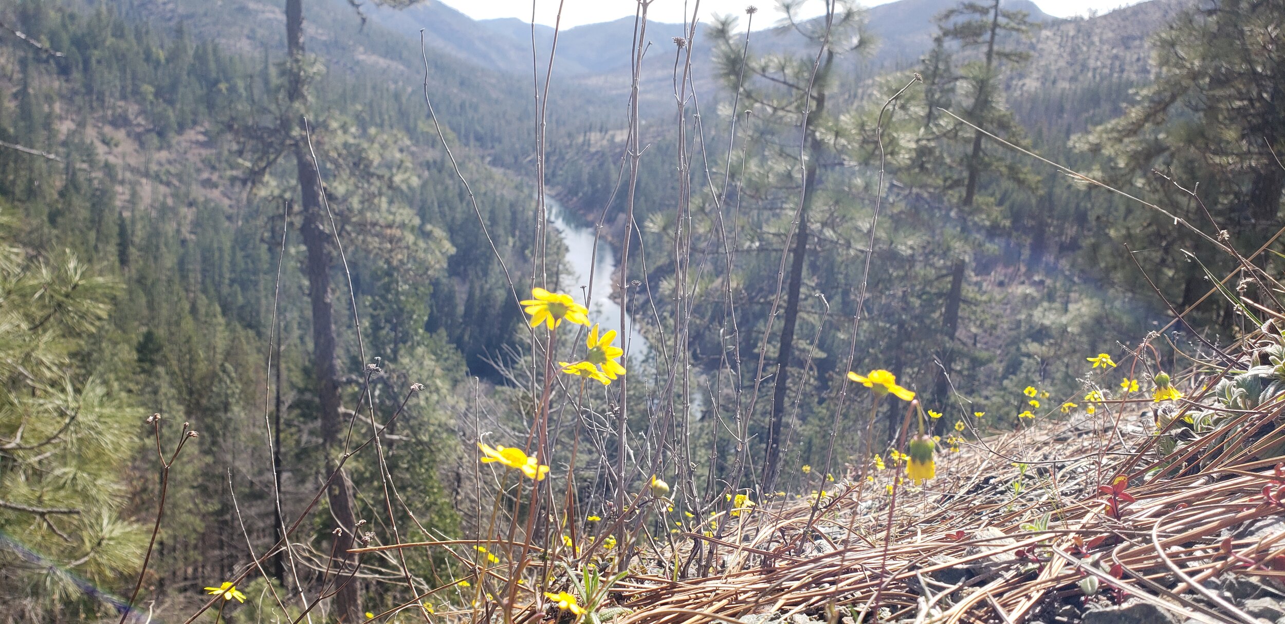
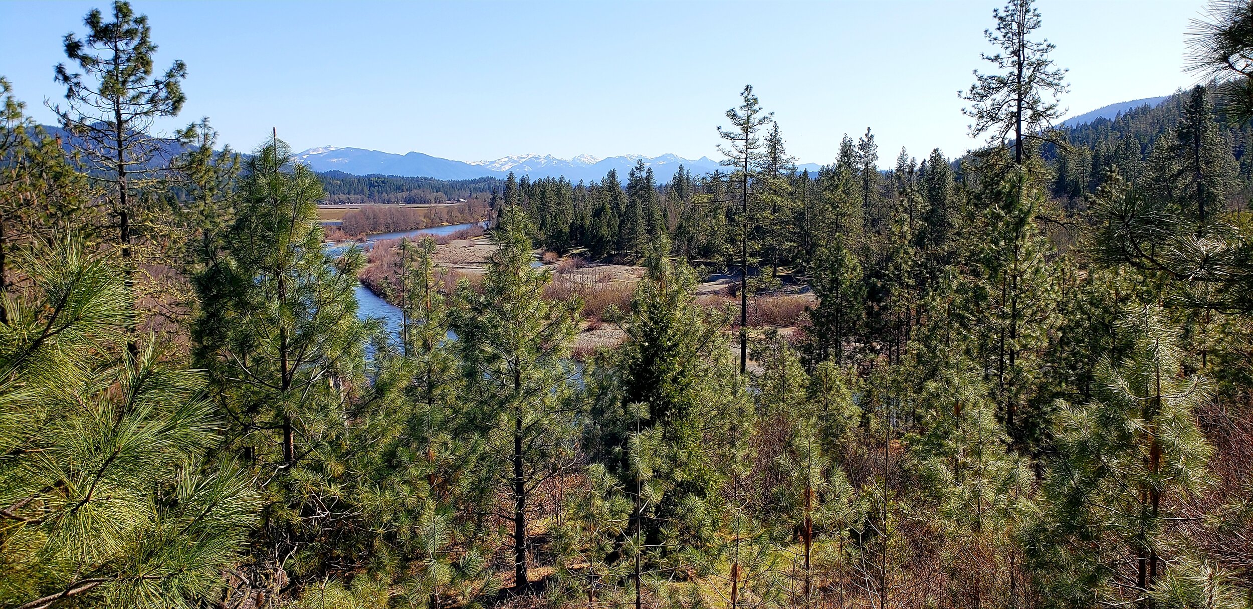
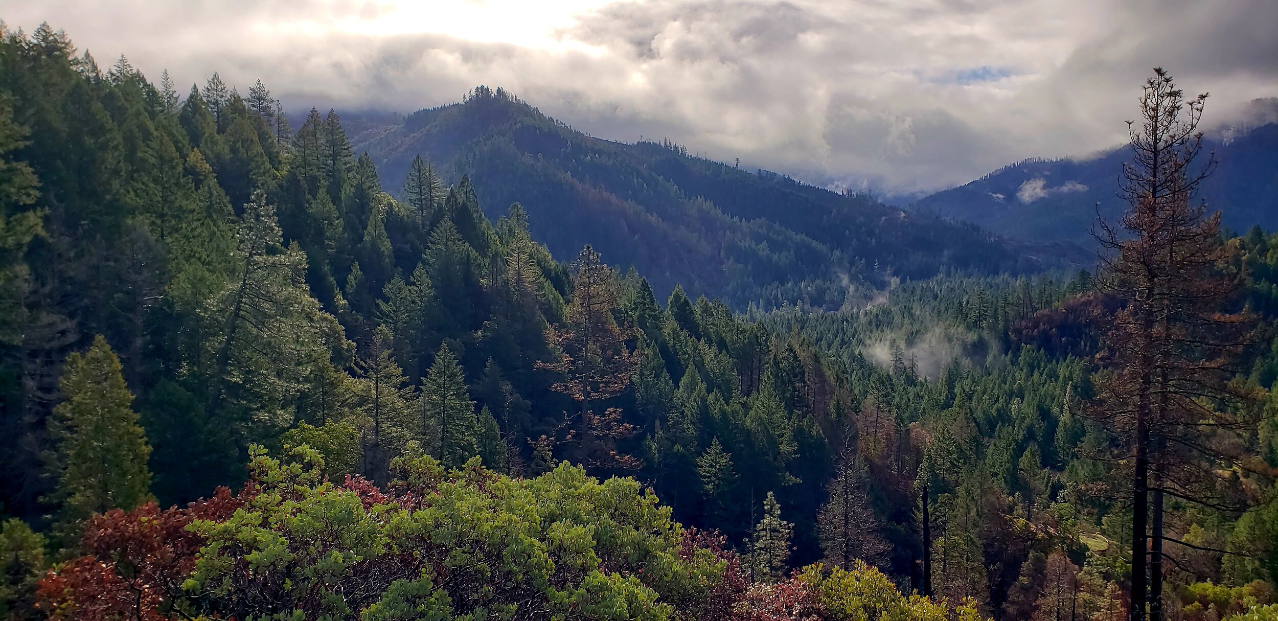
Enjoy some breathtaking vistas of Deer Creek watershed
East-West Bridge of Biodiversity: Connecting the Siskiyou Mountains and the Kalmiopsis Wilderness
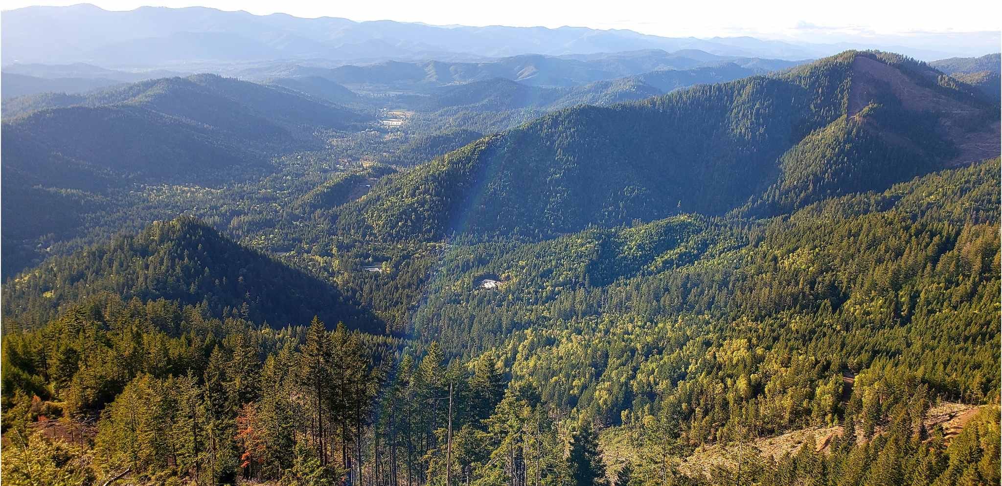
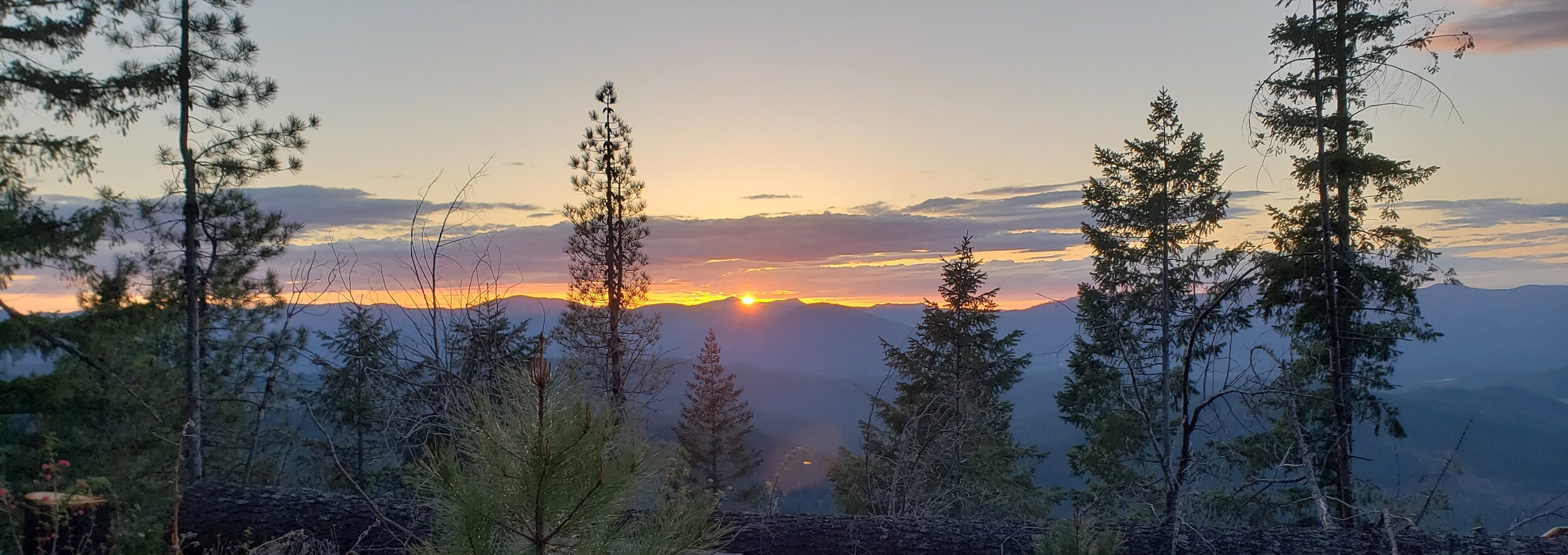
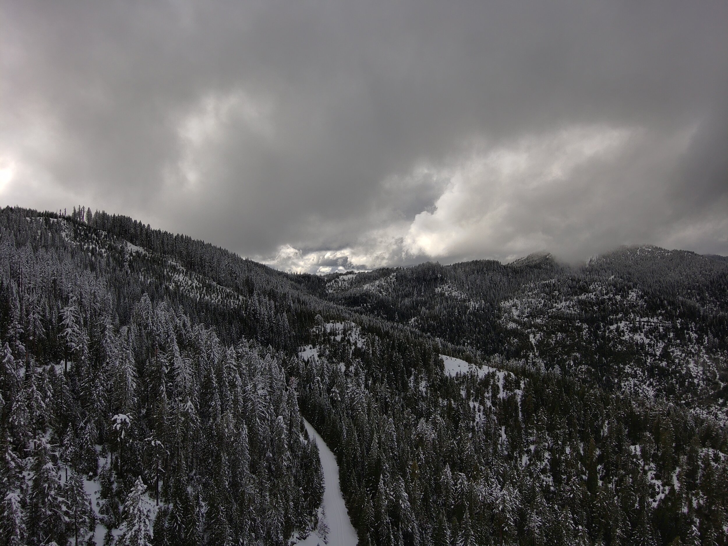
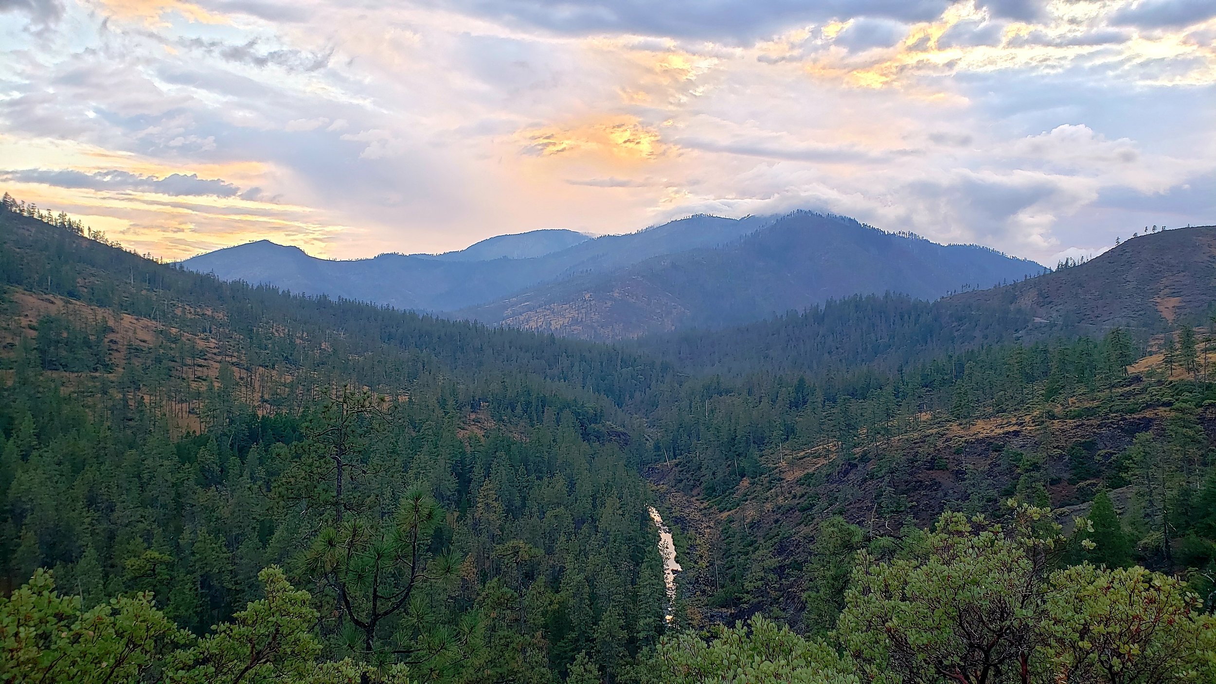
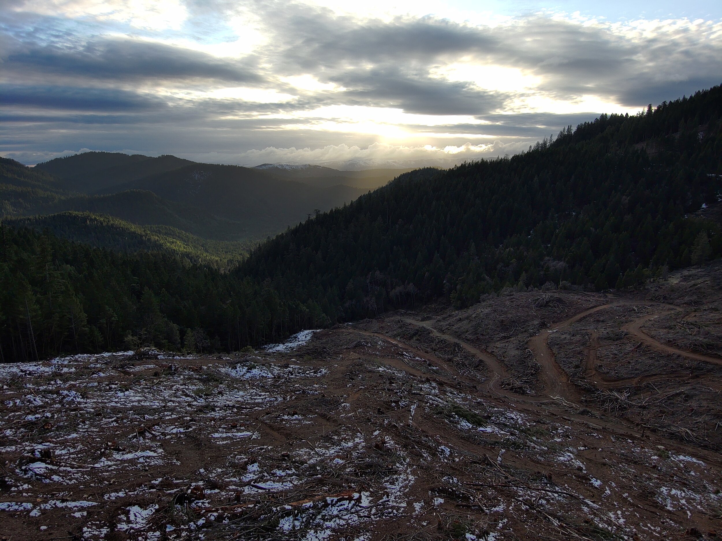
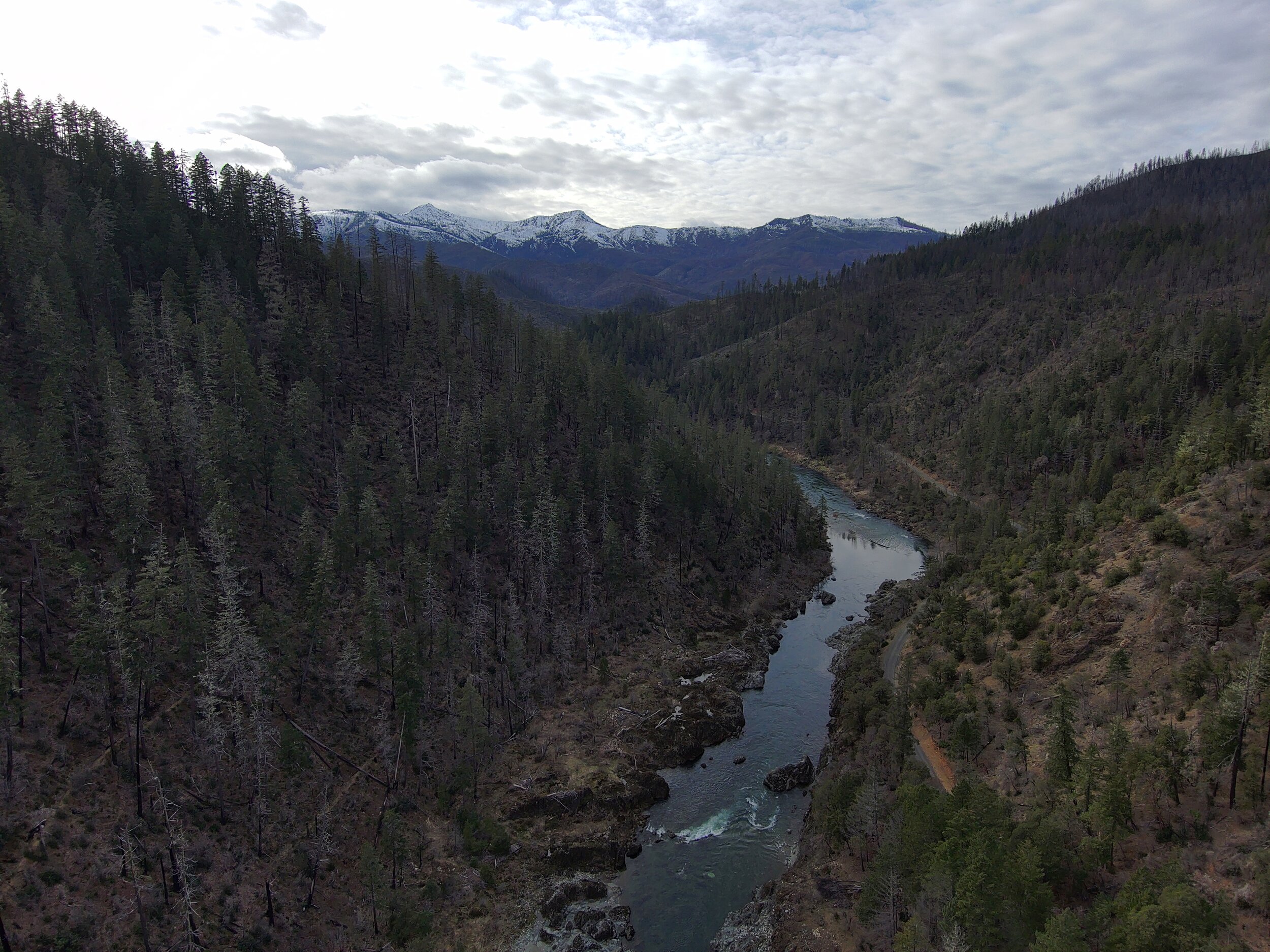
From the very eastern edge headwaters of the Deer Creek watershed looking west, the rugged Little Grayback and Kerby Peak Wildlands run east to west, separating the Deer Creek and Sucker Creek drainages and providing crucial habitat and connectivity corridors between the Siskiyou Mountains and the Kalmiopsis Wilderness in the west.
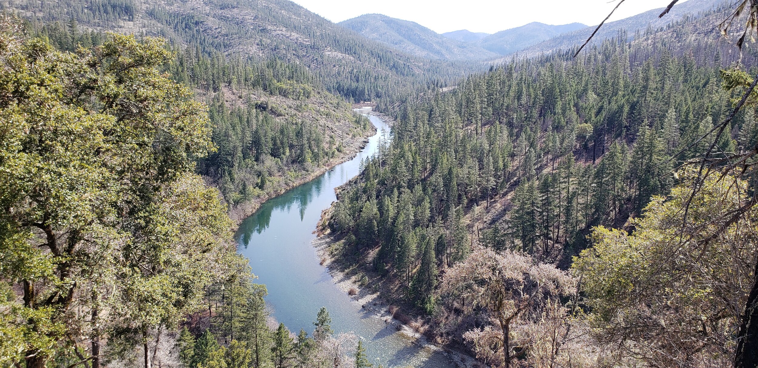
Deer Creek: A microcosm of the Klamath-Siskiyou Bioregion’s globally renowned biodiversity
While typically mountain ranges run north to south, the complex and rugged geography and geology of the Klamath-Siskiyou Bioregion of southern Oregon and northern California break the rules in every direction. It’s no wonder why this region is referred to as the “Klamath Knot,” where turbulent metamorphic processes deep in the Earth have created unique environments and ecosystems with globally renowned biodiversity, endemic species found nowhere else, habitat strongholds for many threatened species, and vast wild areas that offer sanctuary from the developed world.

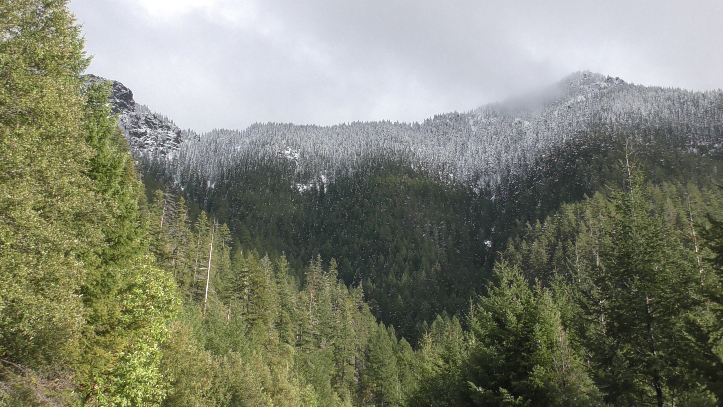
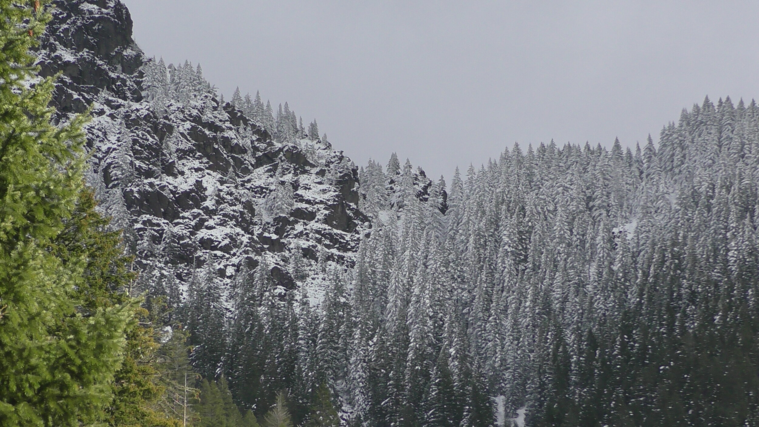
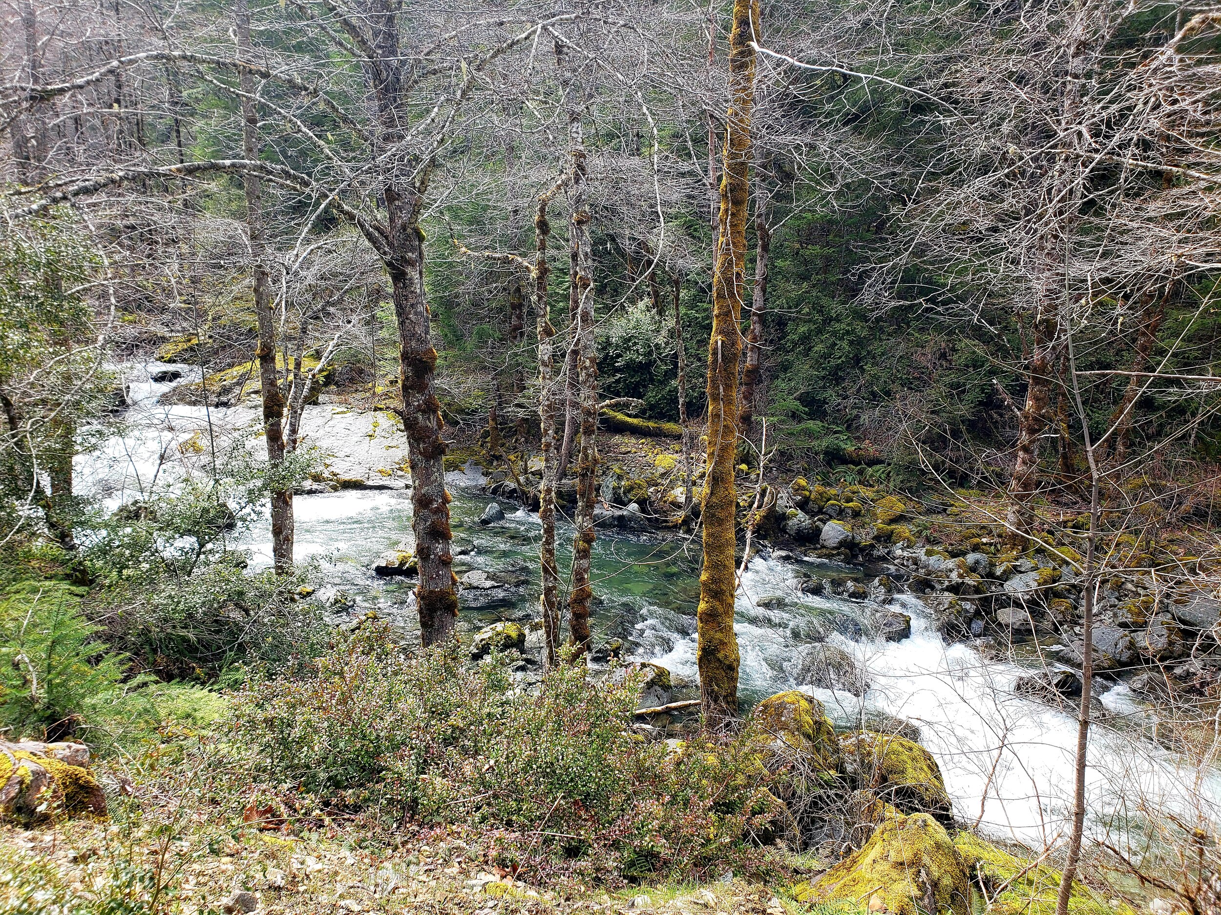
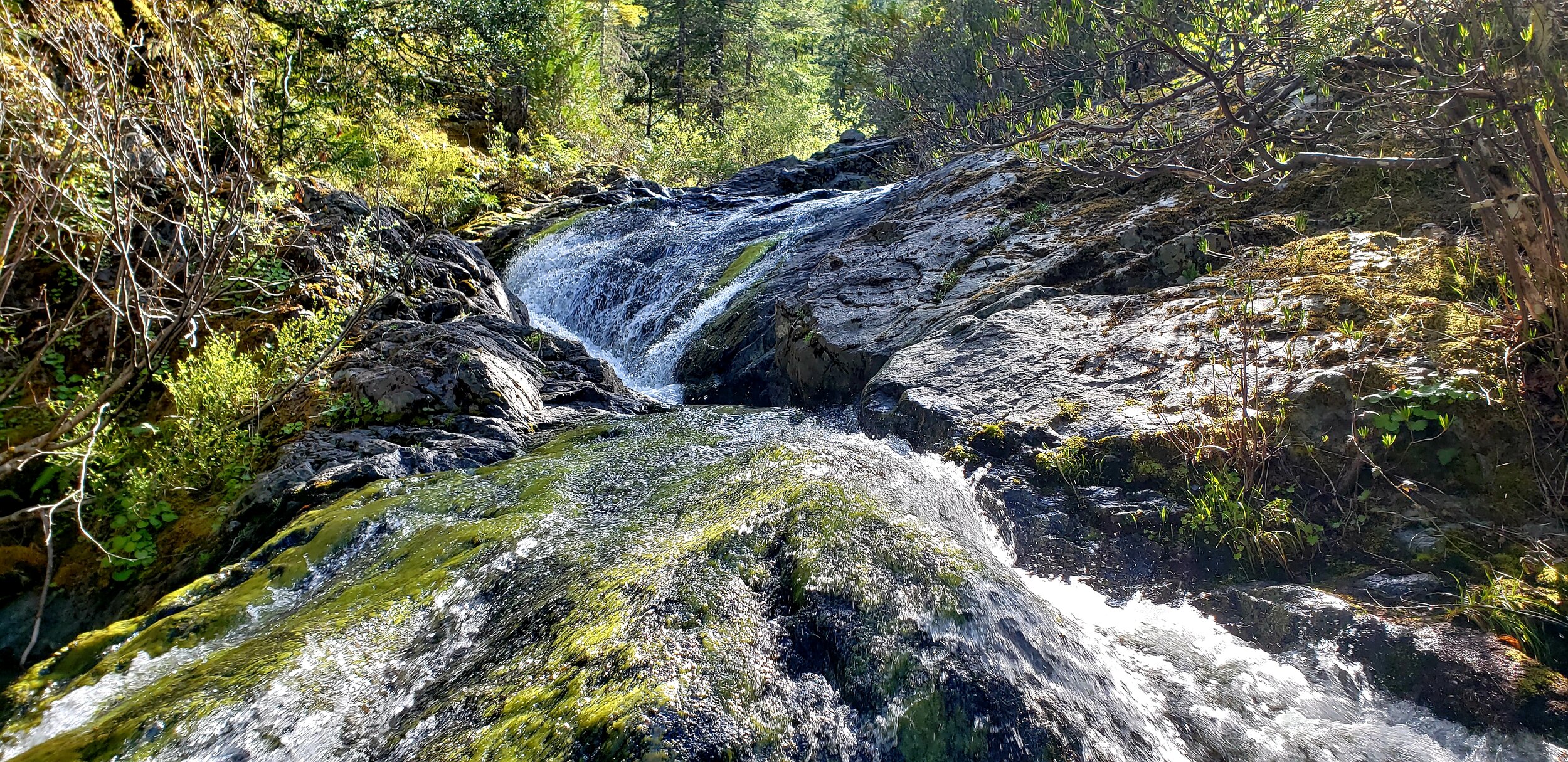
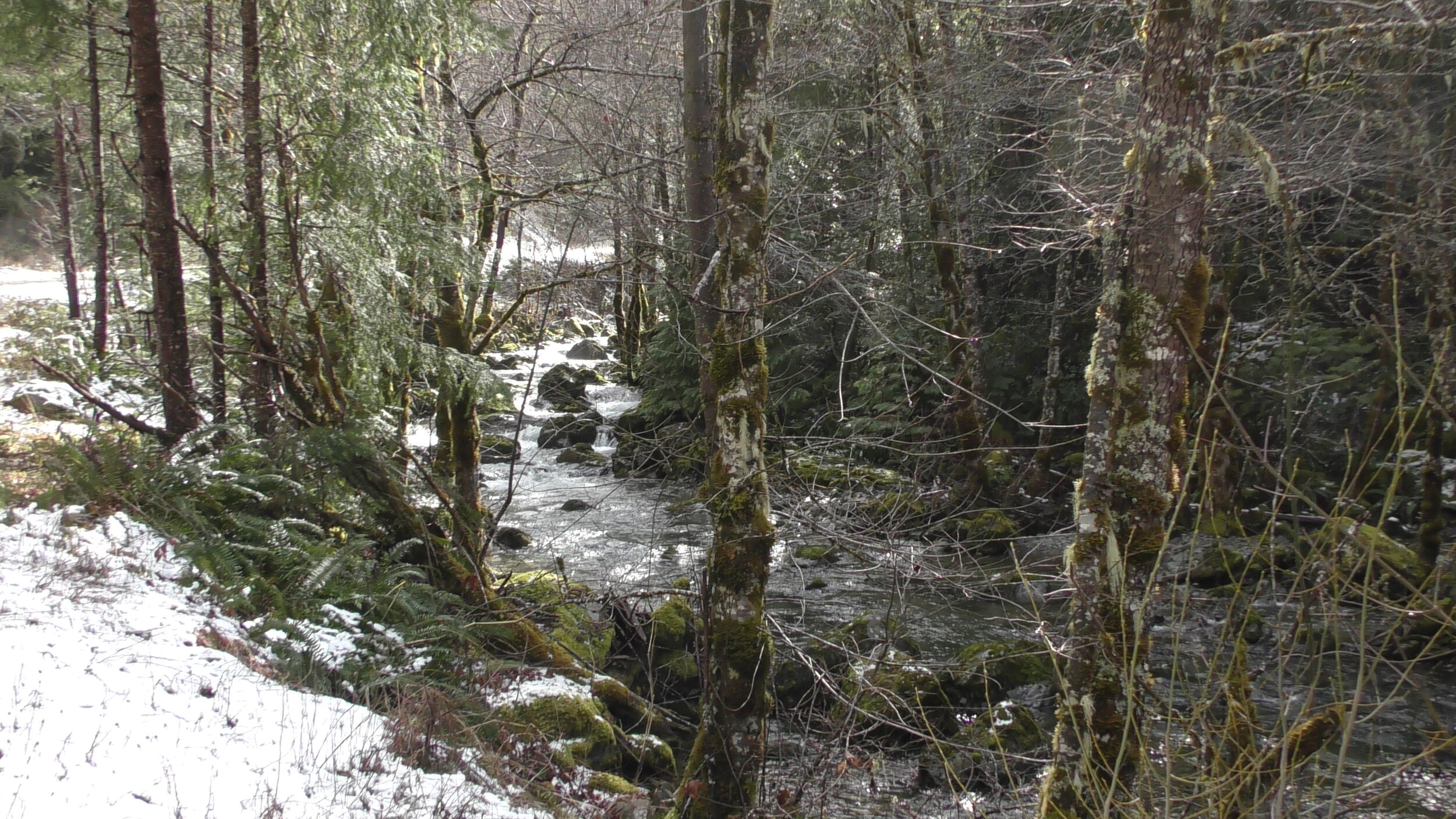
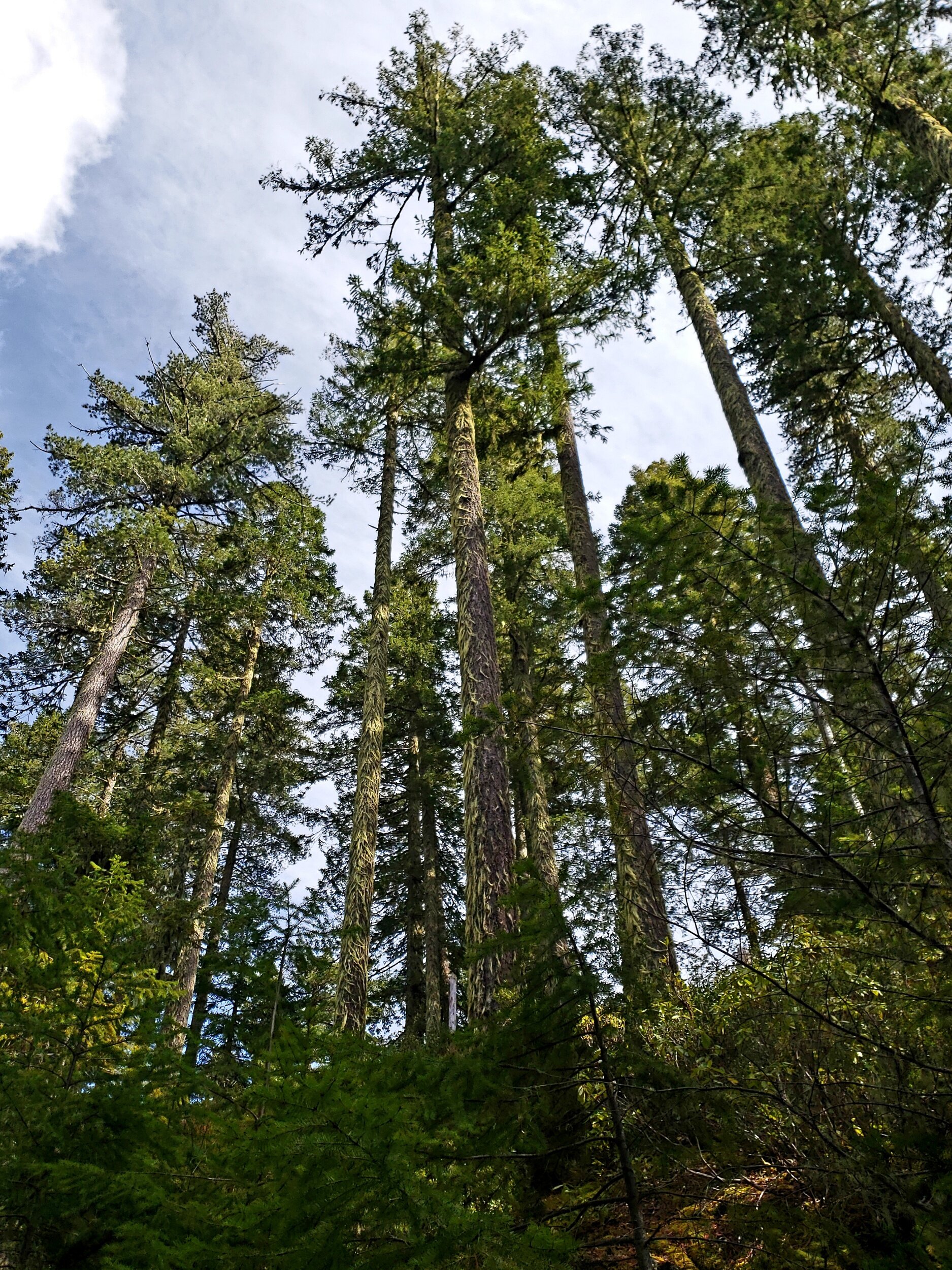
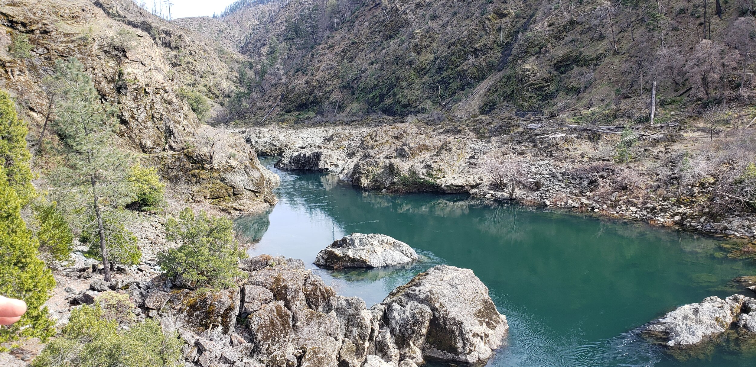
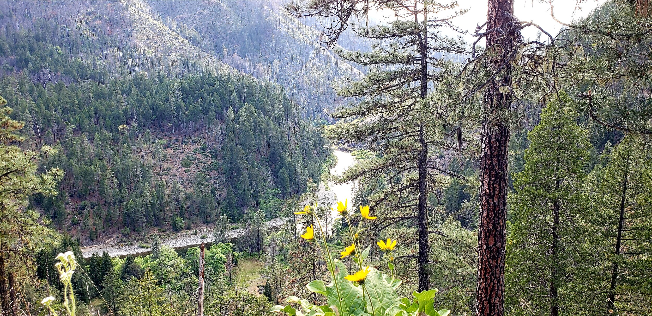
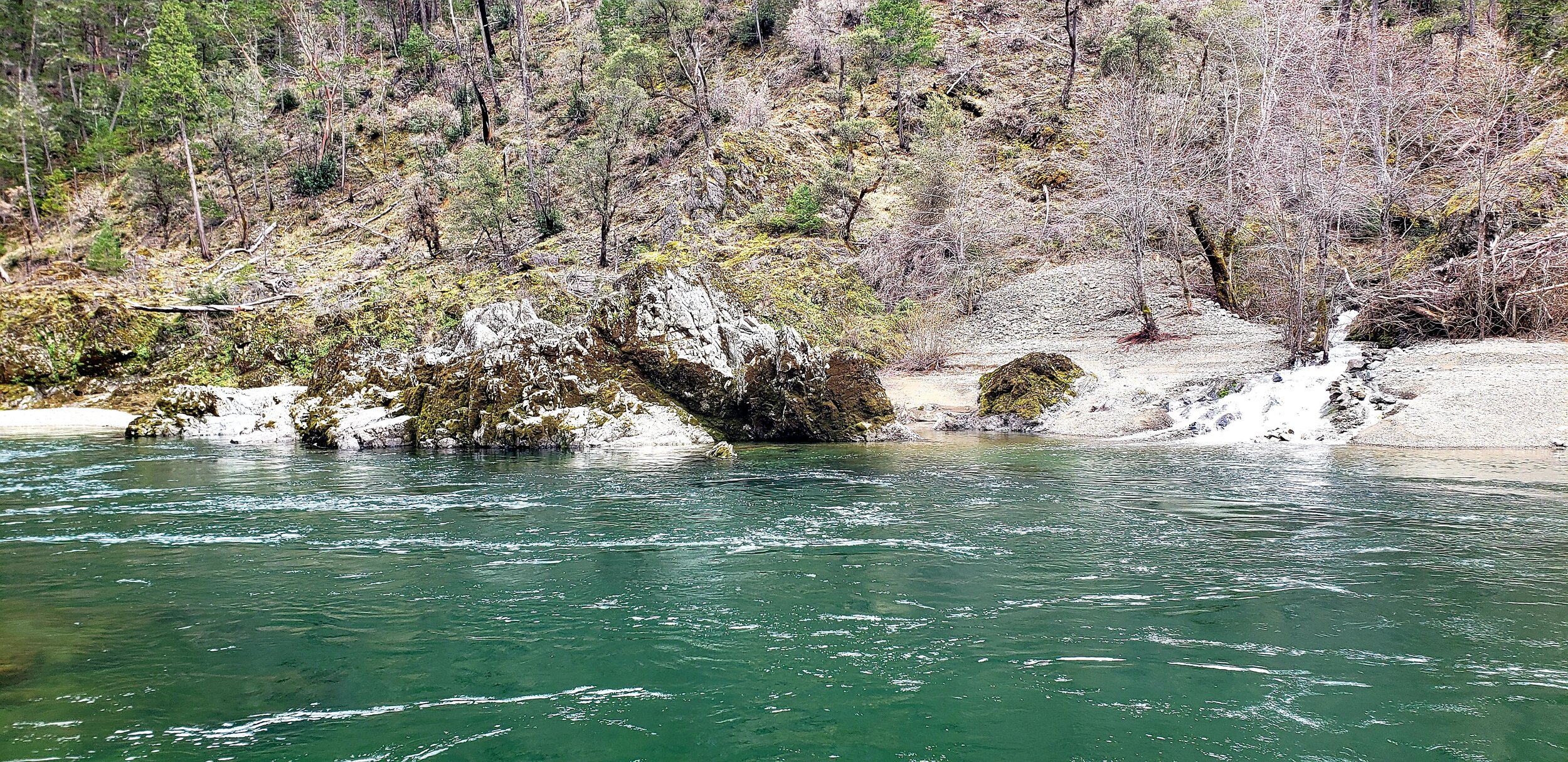
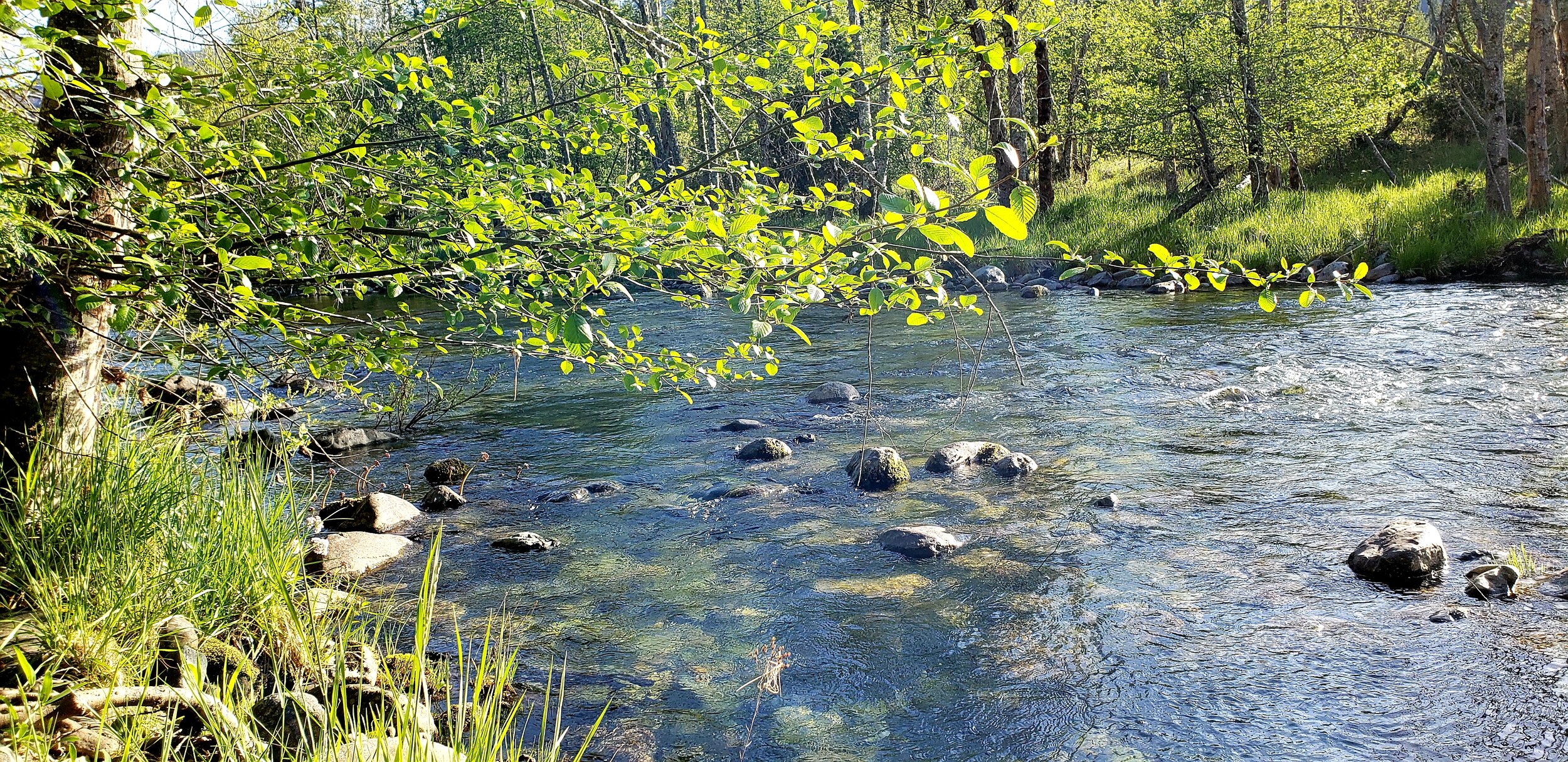
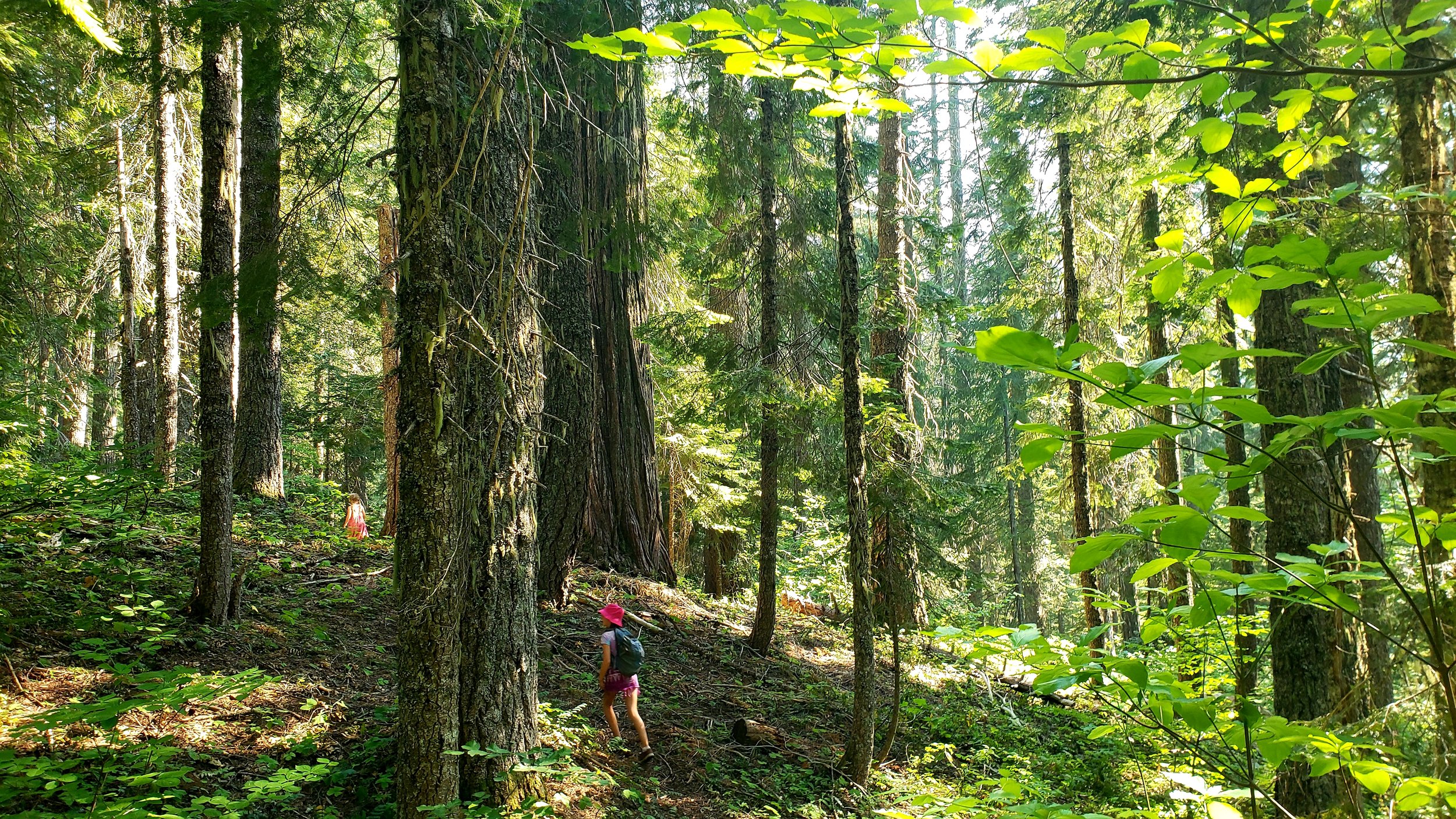
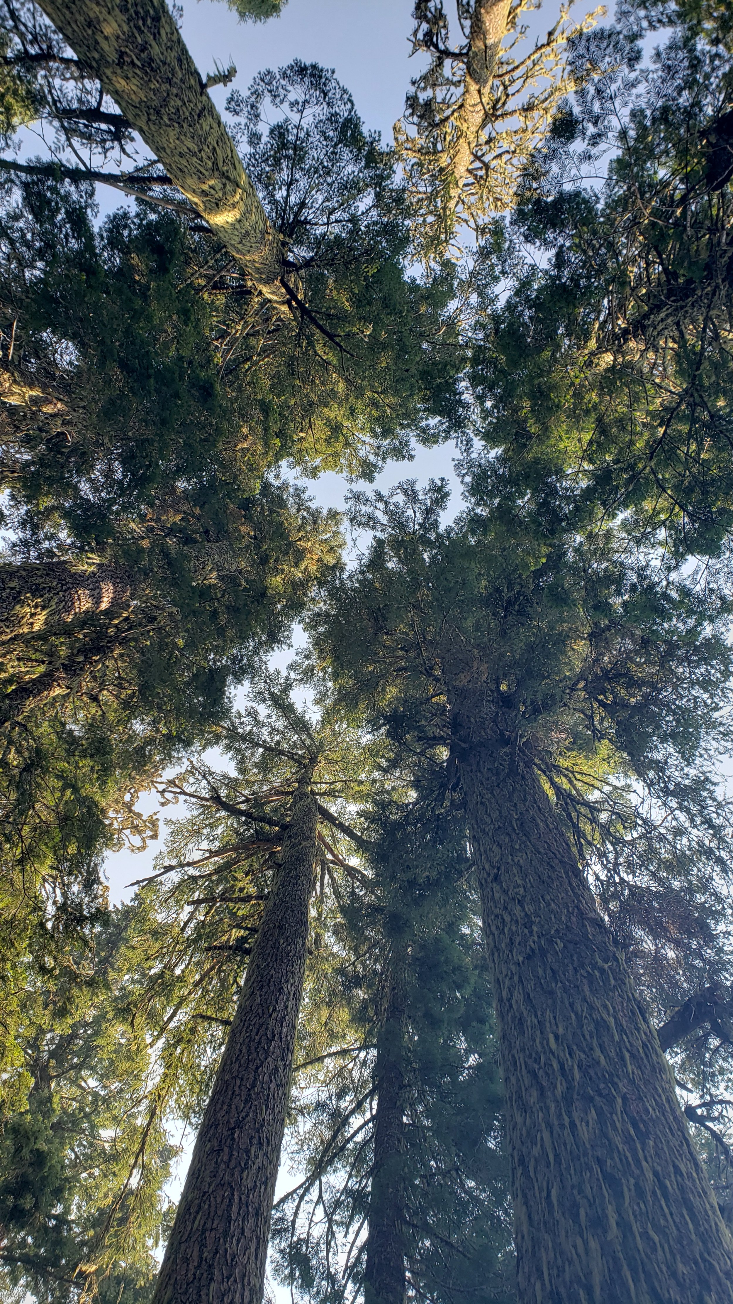
Looking towards Kerby Peak and Little Grayback Peak, where the headwaters of Thompson Creek and White Creek begin, important tributaries of Deer Creek. Photo: Photo Synthesis Rising
Deer Creek is a perfect microcosm of this greater macro-diversity in the Klamath-Siskiyous
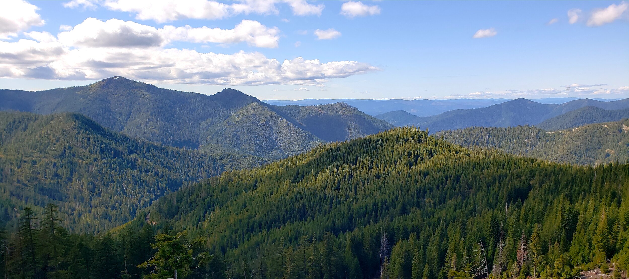
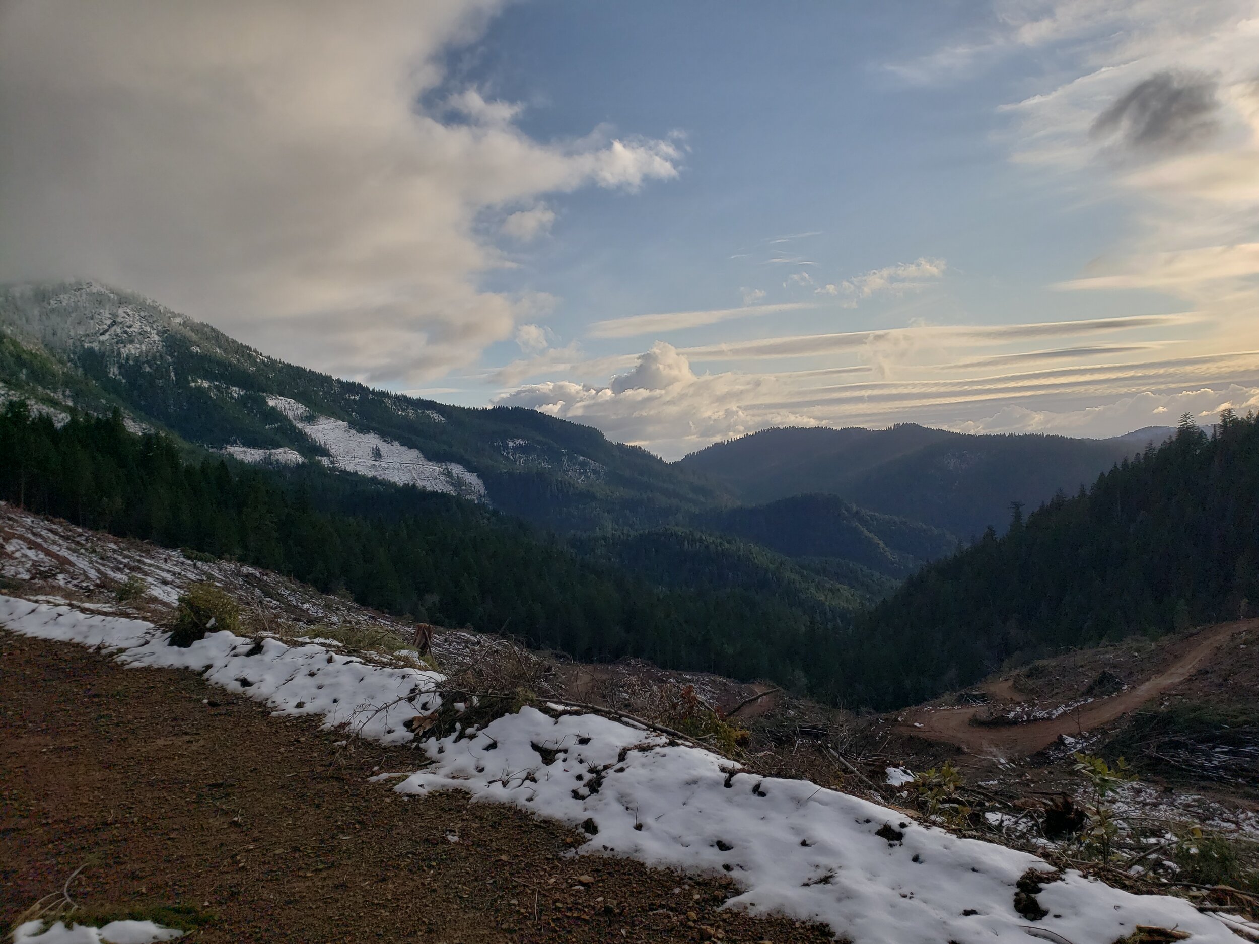
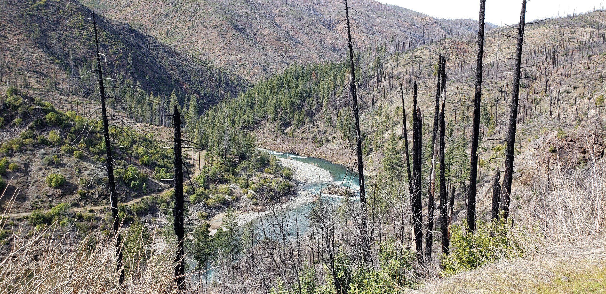
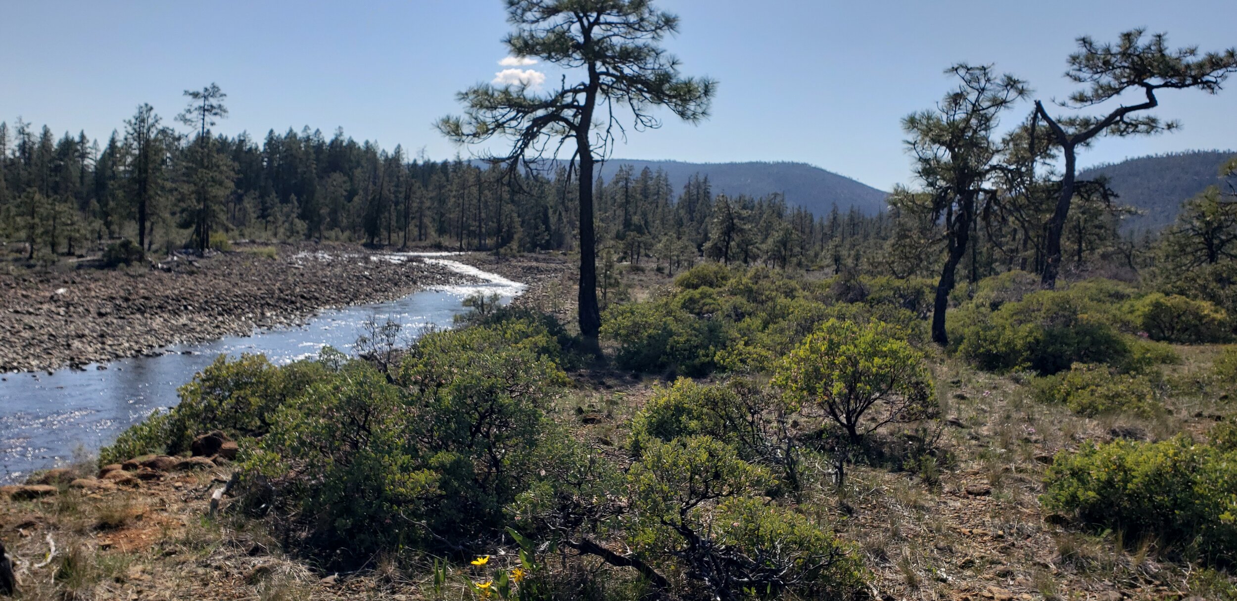
From Mungers Wildlands in the east, to the mouth of Deer Creek at the base of Eight Dollar Mountain in the west, the Deer Creek watershed provides important east-west connectivity between the Wild Siskiyou Mountains and the extraordinarily unique and rugged Kalmiopsis Wilderness.
From Mungers Butte in the east…
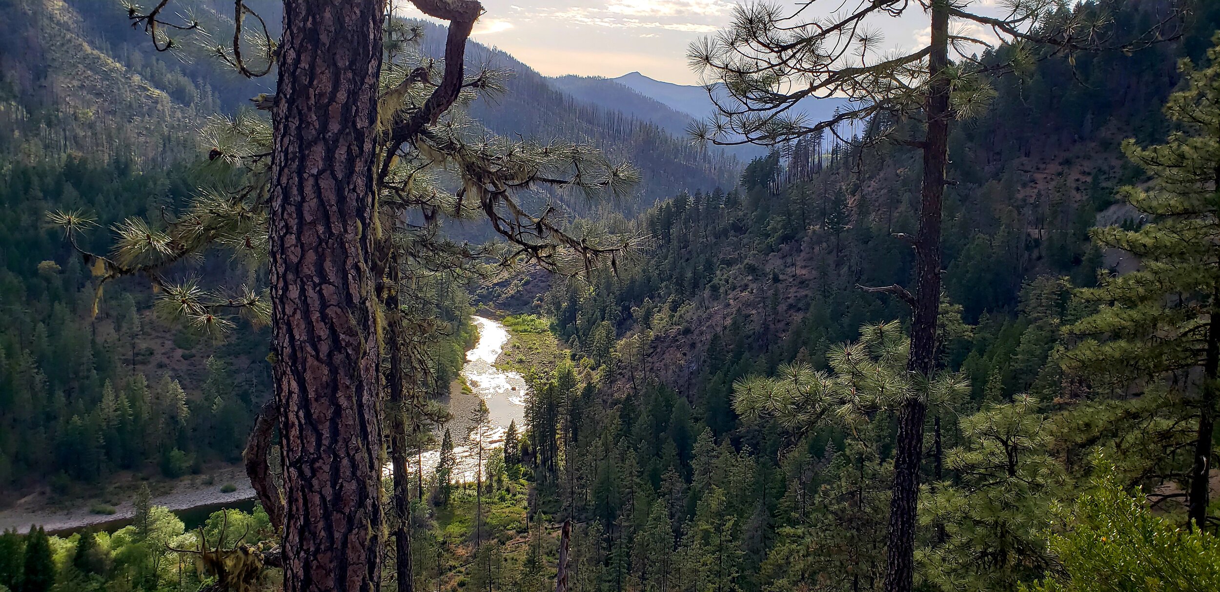
to the Wild & Scenic Illinois River in the West
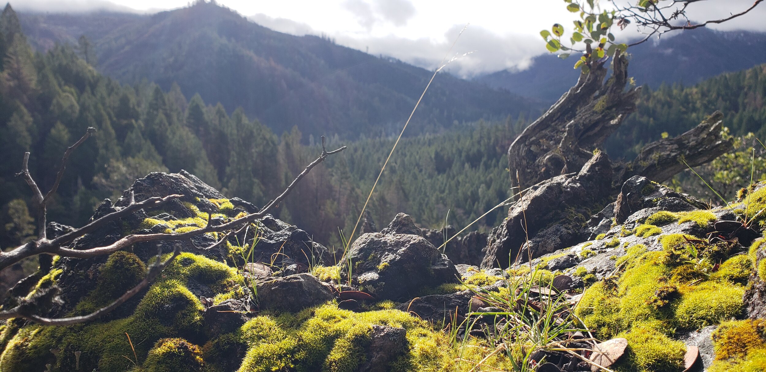
unique geology, species diversity, & habitat mosaics
The Kalmiopsis Wilderness, which lies to the west of HWY 199, is well known for its unique geology and serpentine soils. The western part of the Deer Creek watershed is also dominated by serpentine geology and habitats.
Serpentine possesses qualities toxic to most vegetation, which has produced incredible adaptations and endemic species found nowhere else in the world. Most vegetation you see growing in this soil is likely much older than it looks as things grow slowly in these harsh environments.

A lesser-known fact is that within the Deer Creek watershed to the east of HWY 199, substantial pockets and veins of serpentine rock and soils are intermixed with incredibly fertile and productive soils. This unique mosaic of geologic diversity across the Deer Creek watershed has created a rare mix of habitats and ecotones where an amazing diversity of plant and animal species coexist.
Near Round Top Mountain in the heart of the Deer Creek watershed, this serpentine vein is designated by the BLM as an Area of Critical Environmental Concern (ACEC).
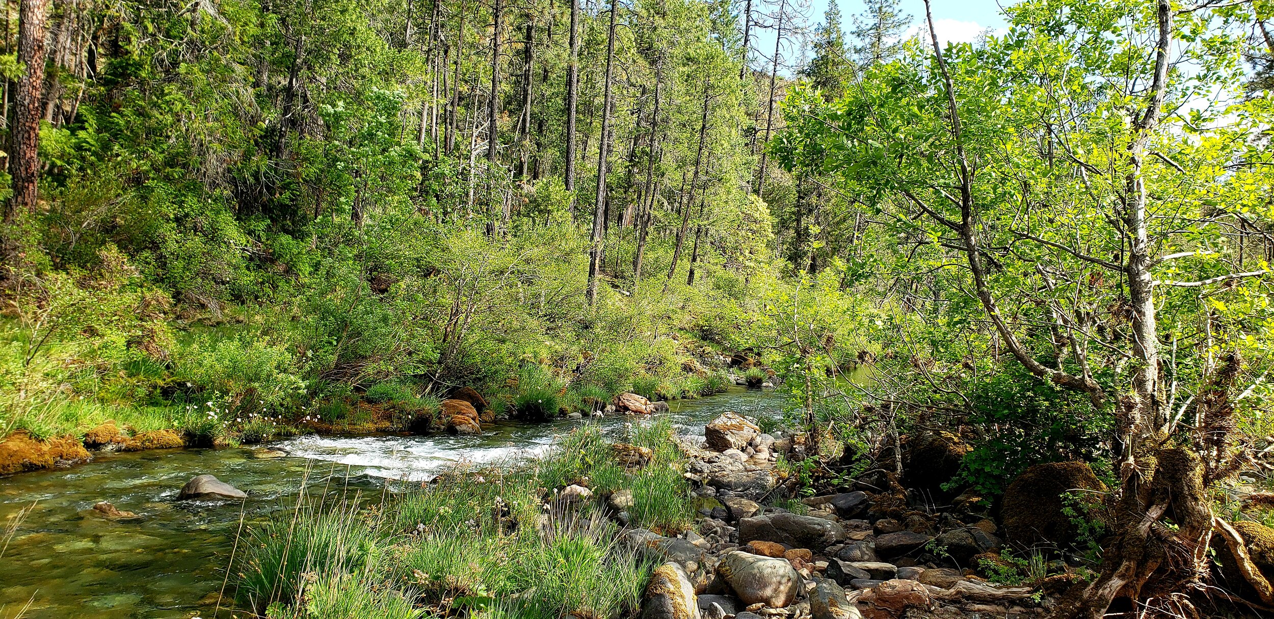
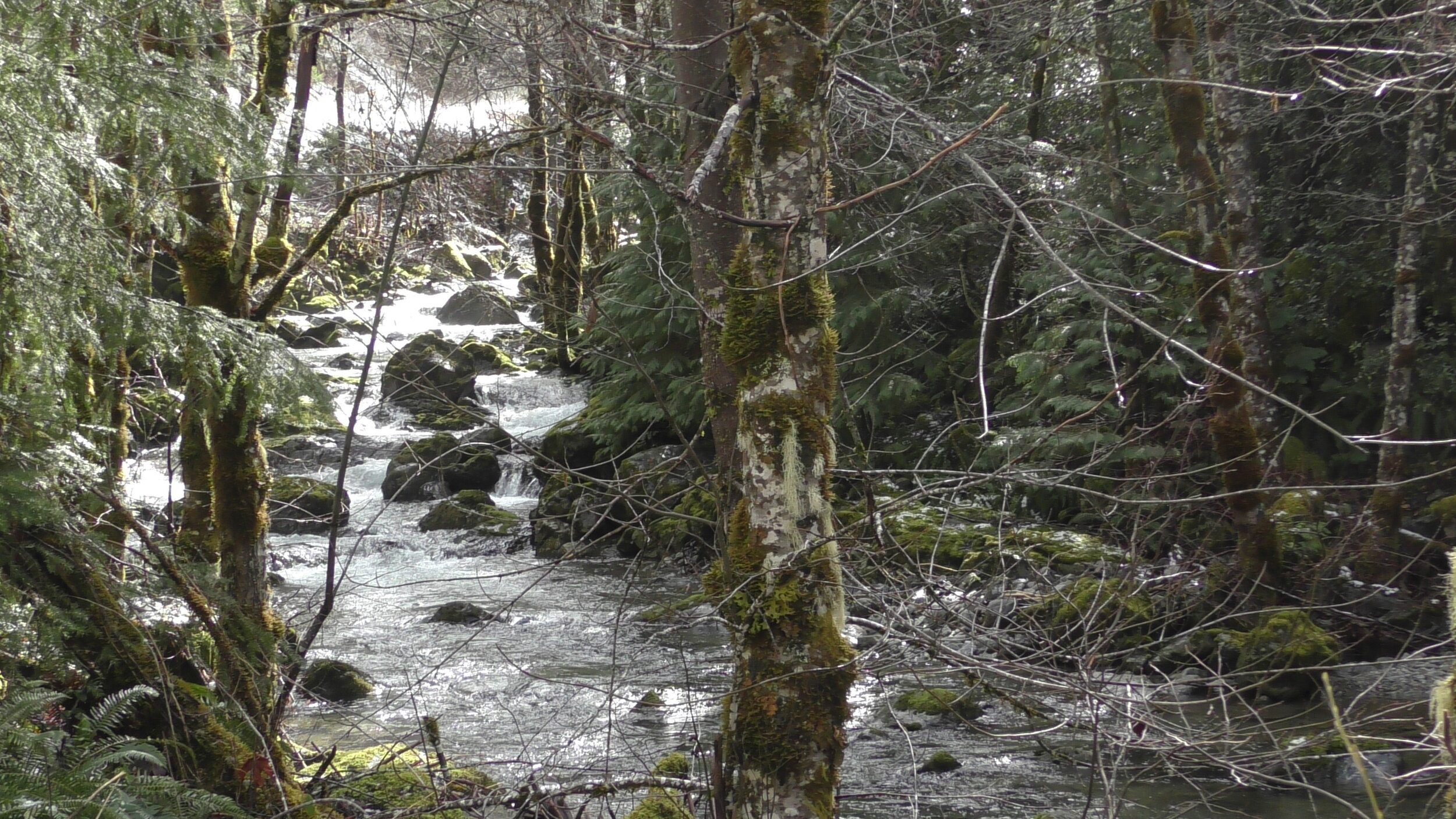
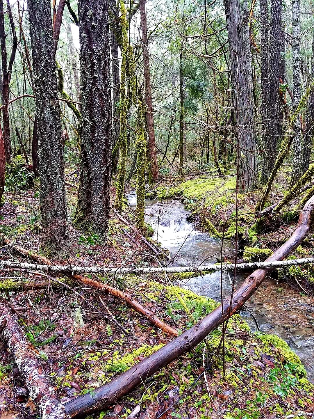
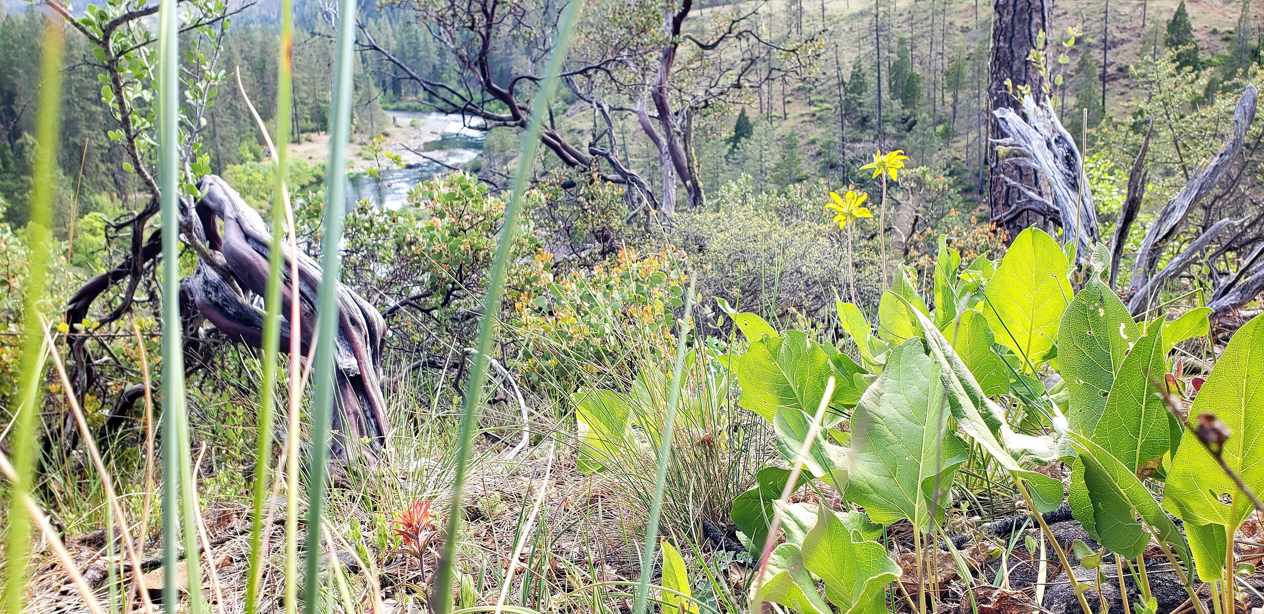
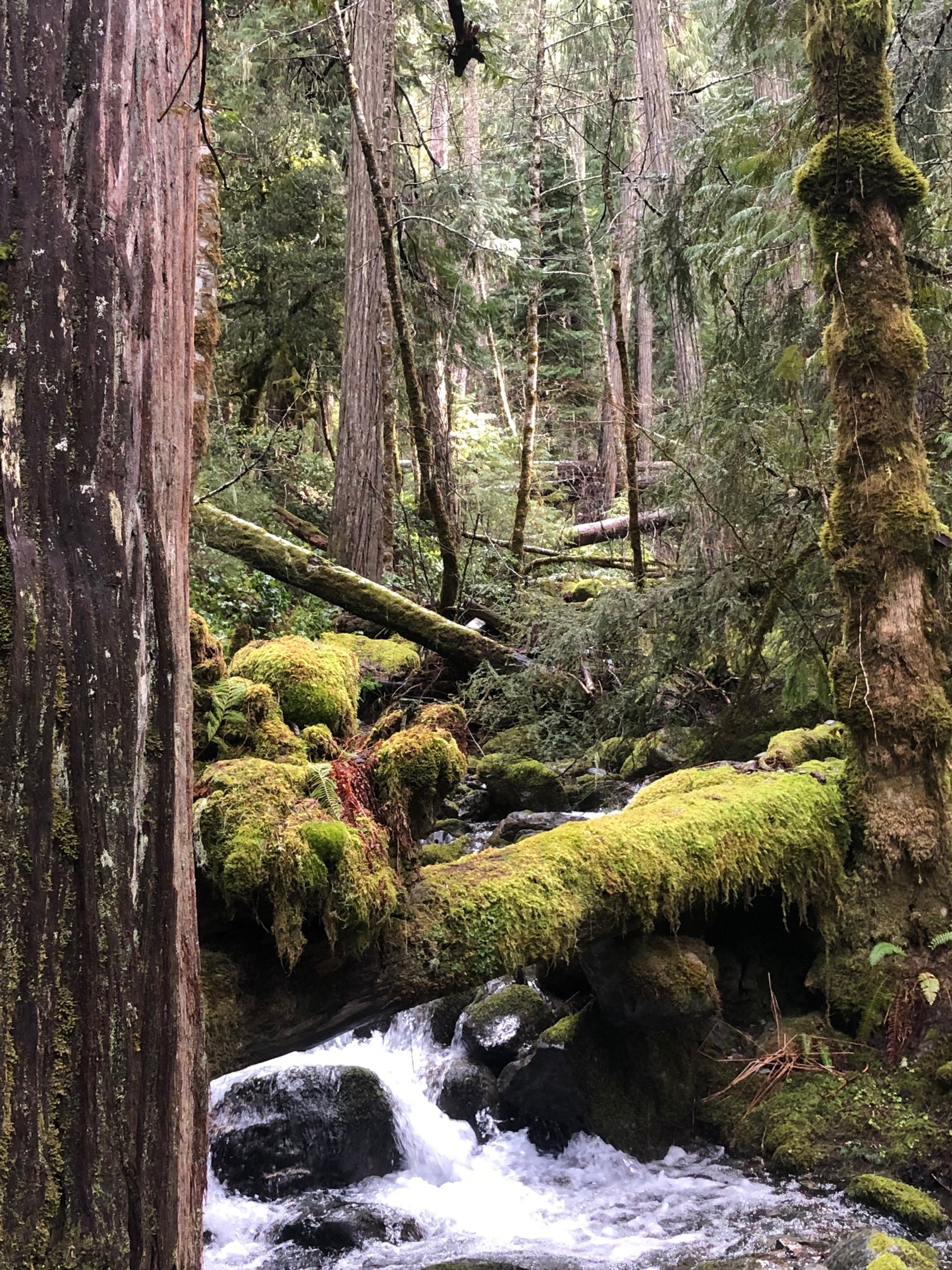
In the Thompson Creek drainage, a healthy herb layer is thriving in fertile, moist, rich topsoil that supports a healthy, mature, temperate rainforest ecosystem above.
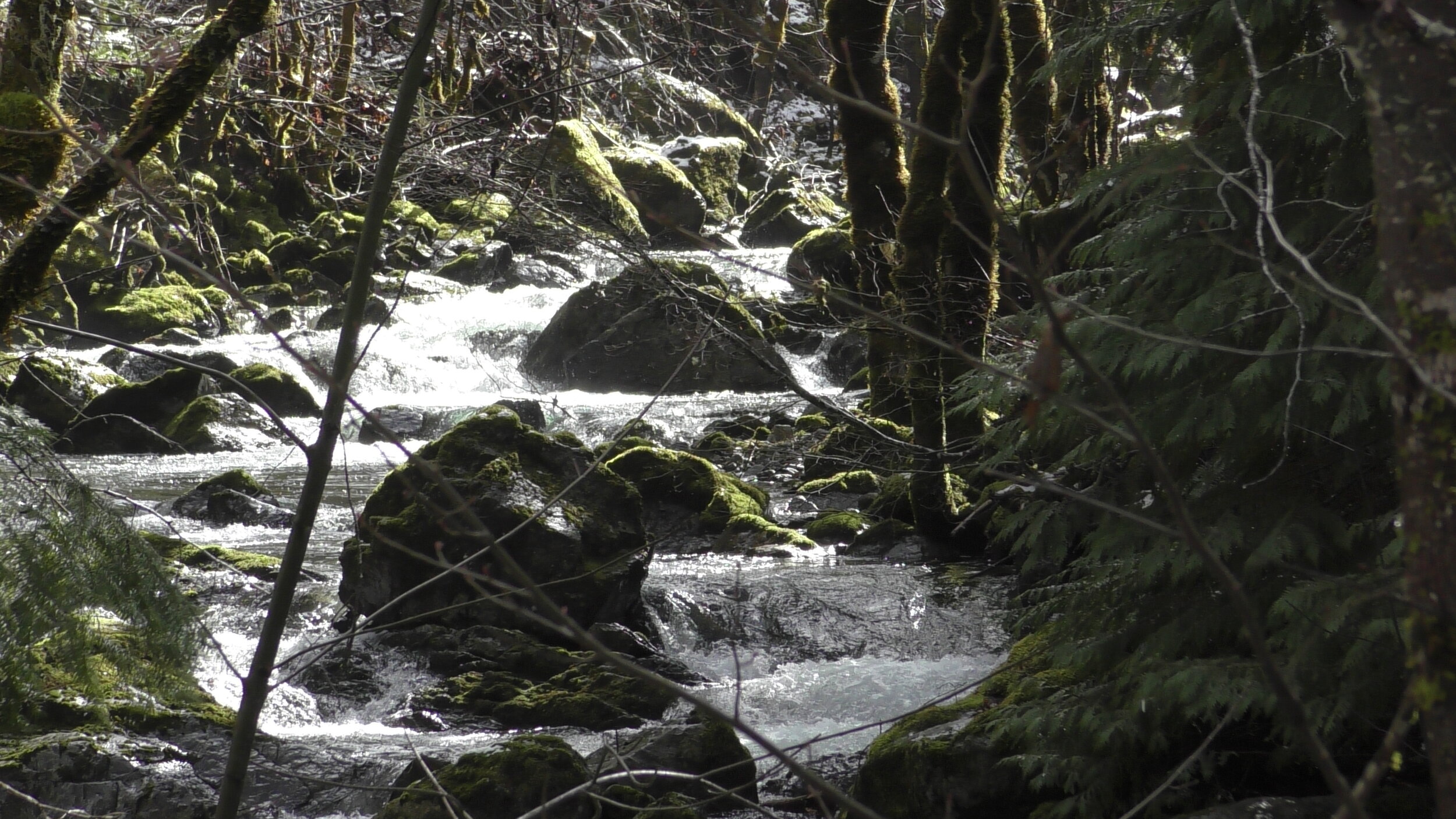
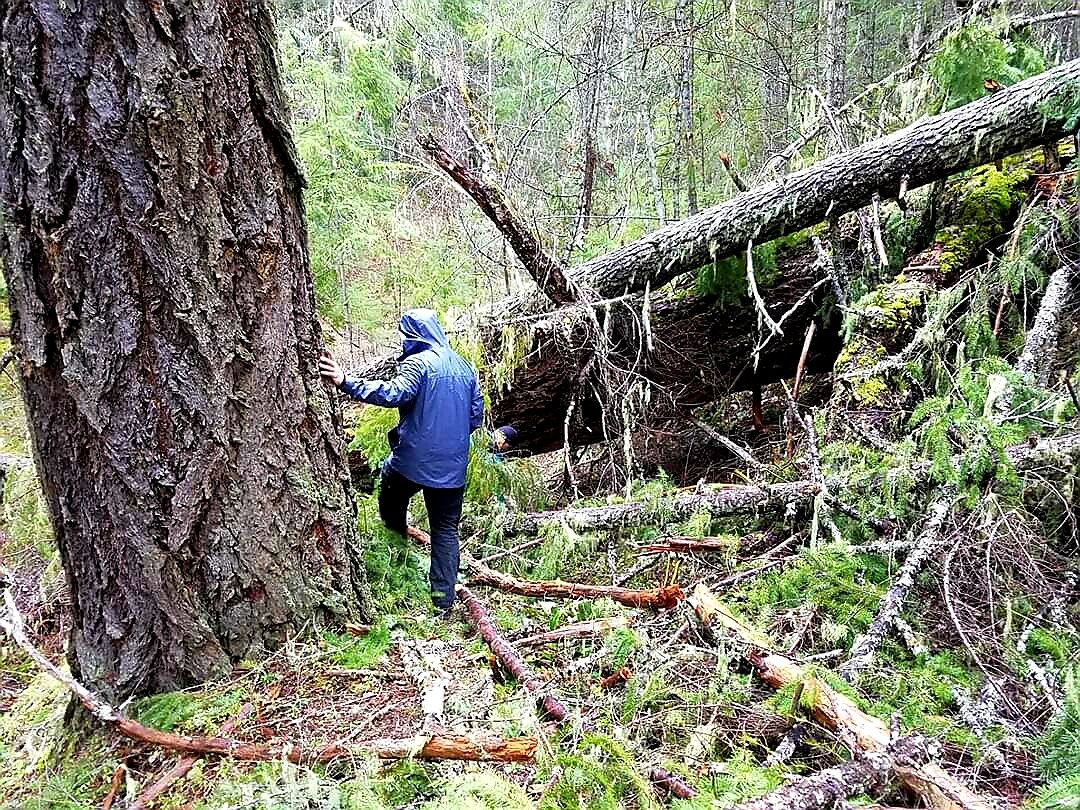
Timbered stands offer refugia for wildlife from temperature extremes due to the relative open conditions of adjacent serpentine slopes. This is particularly true for multi-canopied stands which offer a wide range of micro-niches. These stands are critical for wildlife dispersal of old-growth dependent species between the Deer Creek watershed and the Kalmiopsis wilderness.
-Bureau of Land Management (BLM) 1997 Deer Creek Watershed Analysis

Source: BLM 1997 Deer Creek Watershed Analysis
Meet our ‘Deer’ Creek
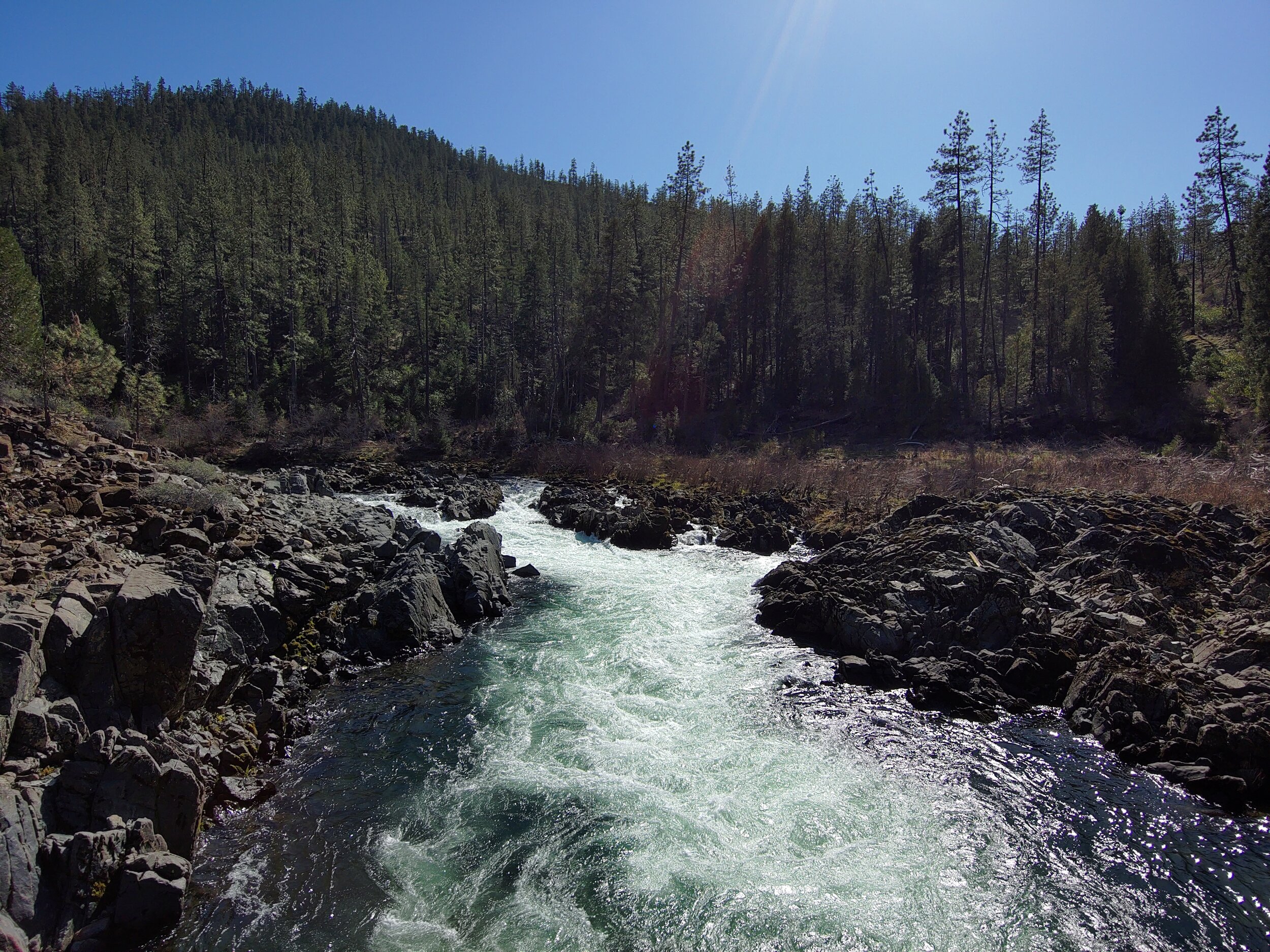
Crucial Salmon Stronghold
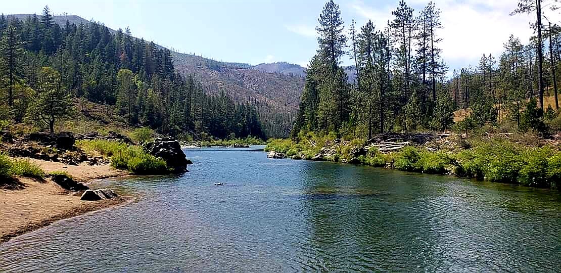
The clean, cold, free-flowing waters of the Illinois River in southwestern Oregon are well-known for being a stronghold for native salmon. Tributaries, such as the Deer Creek watershed, are vital headwaters of the Illinois River and provide irreplaceable habitat and refugia for threatened native salmonids.
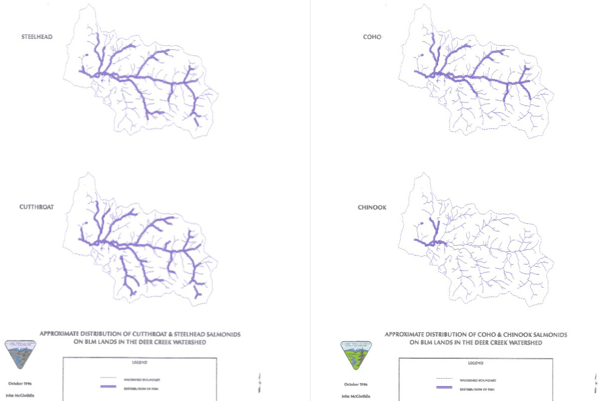
Left: “Approximate Distribution of Cutthroat & Steelhead Salmonids on BLM Lands in the Deer Creek Watershed,” Right: “Approximate Distribution of Coho & Chinook Salmonids on BLM Lands in the Deer Creek Watershed” Source: BLM 1997 Deer Creek Watershed Analysis
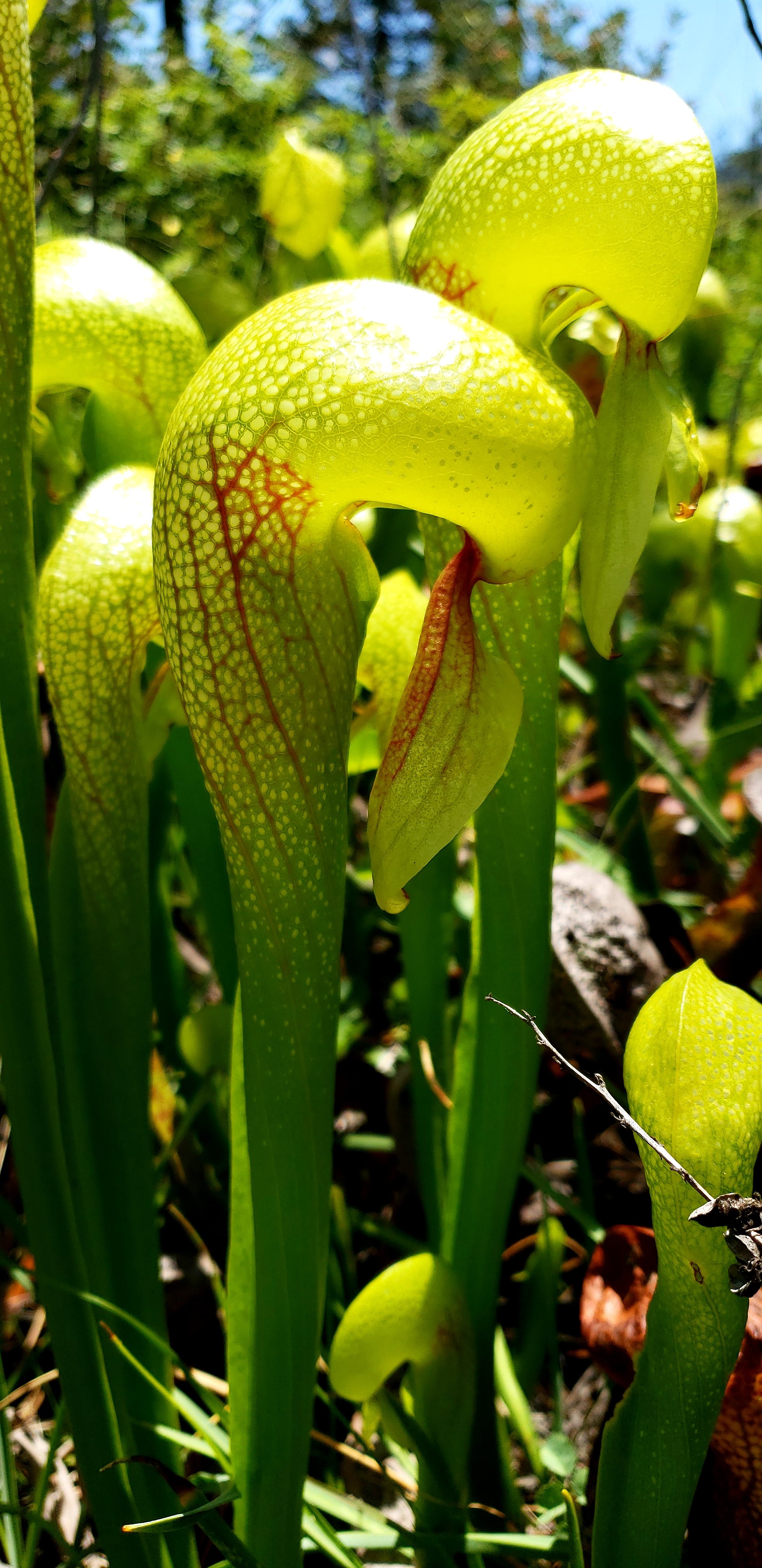
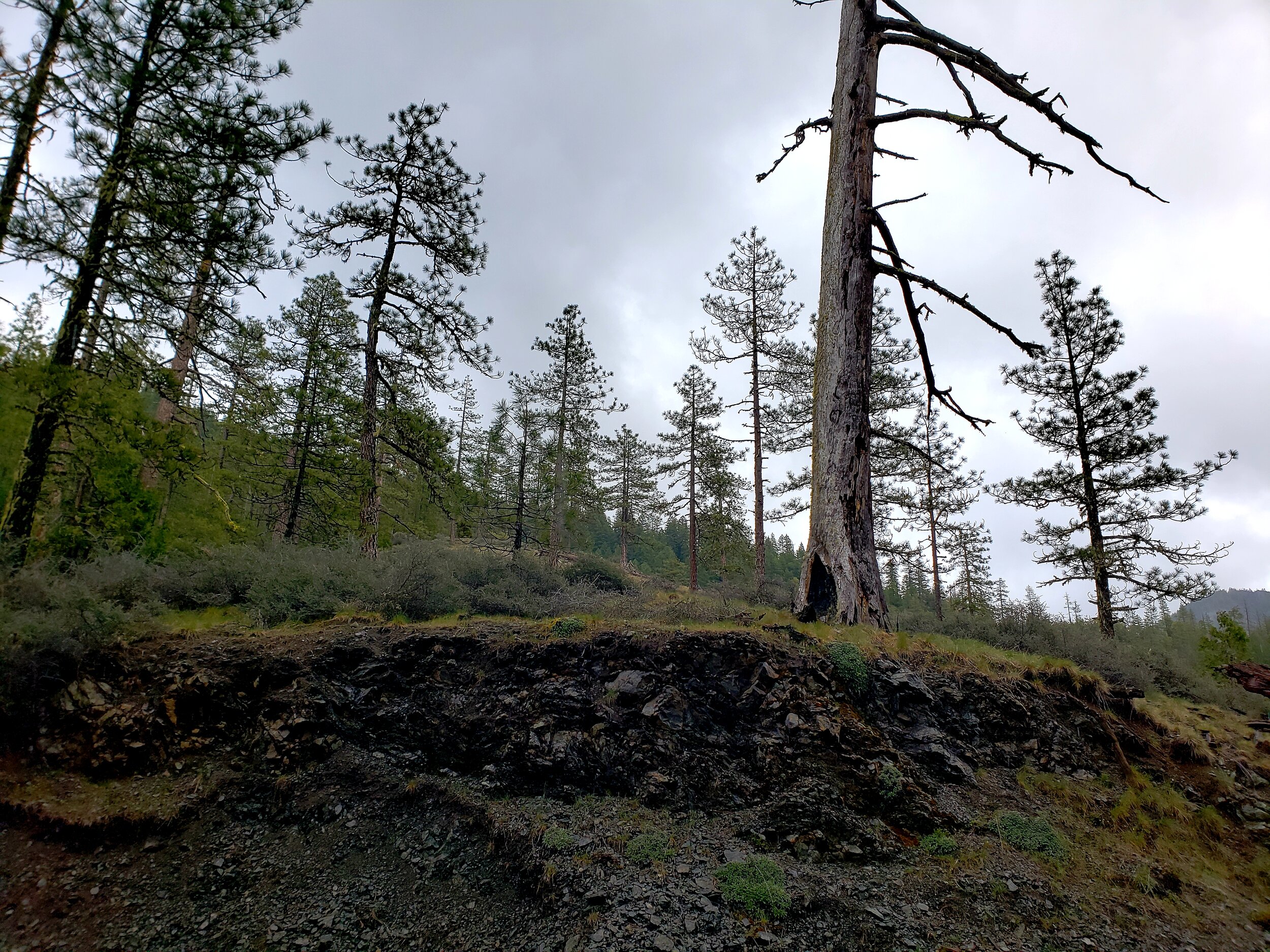
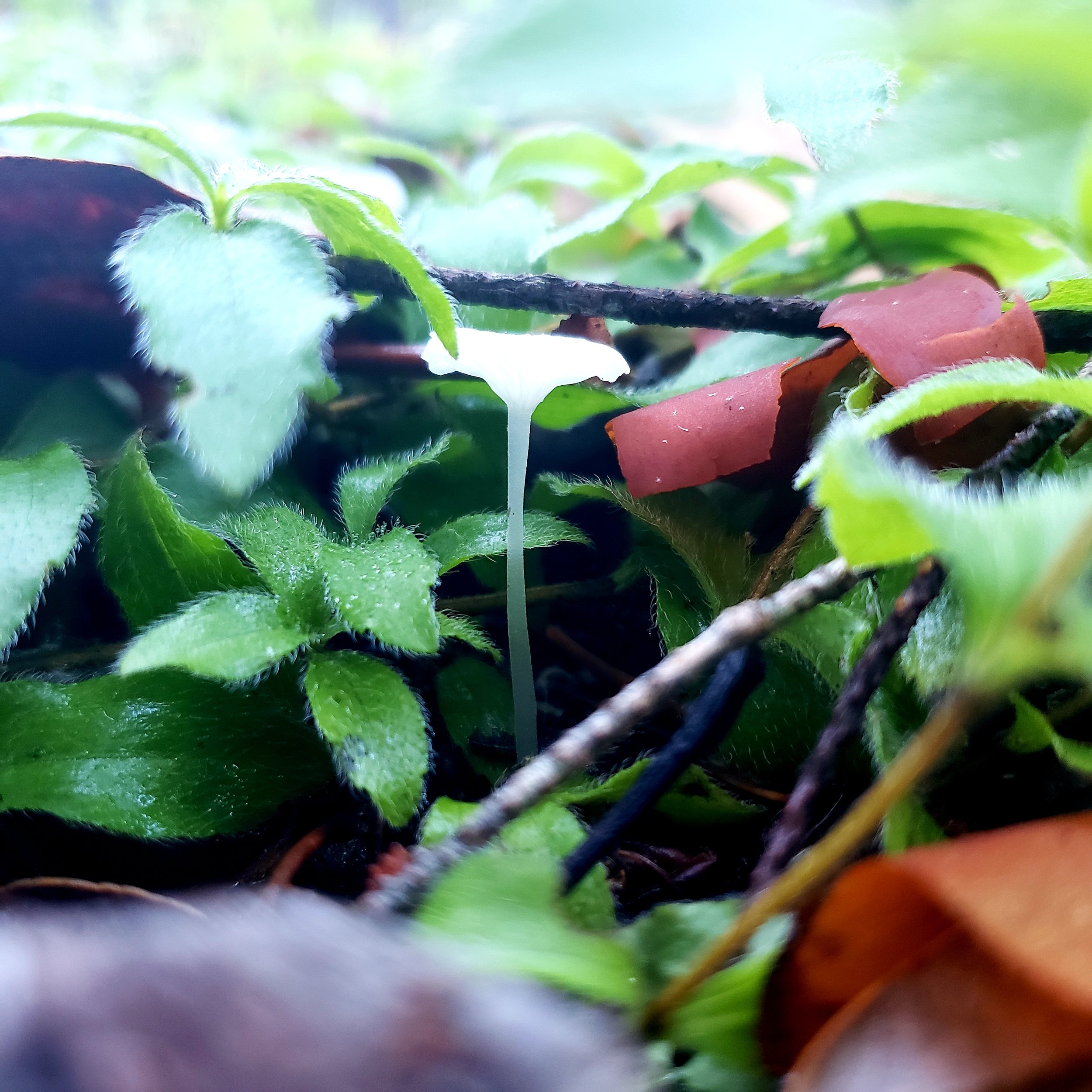
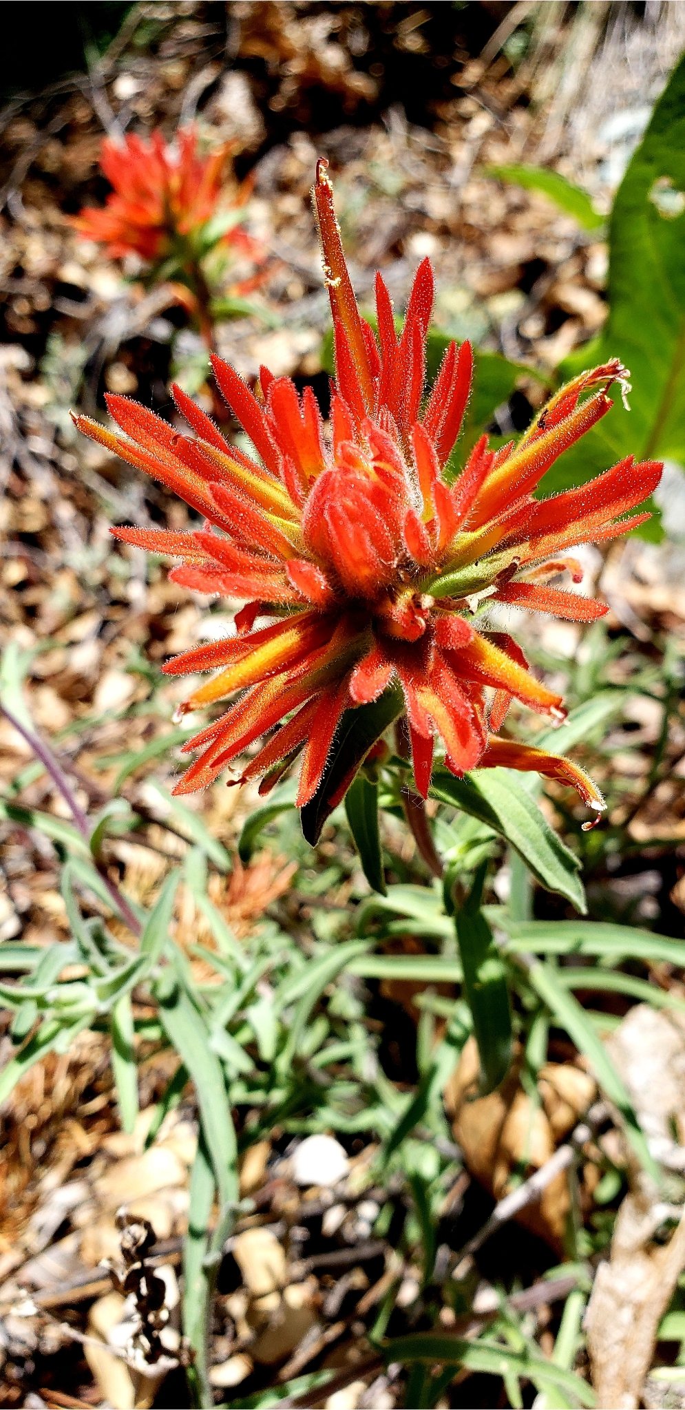
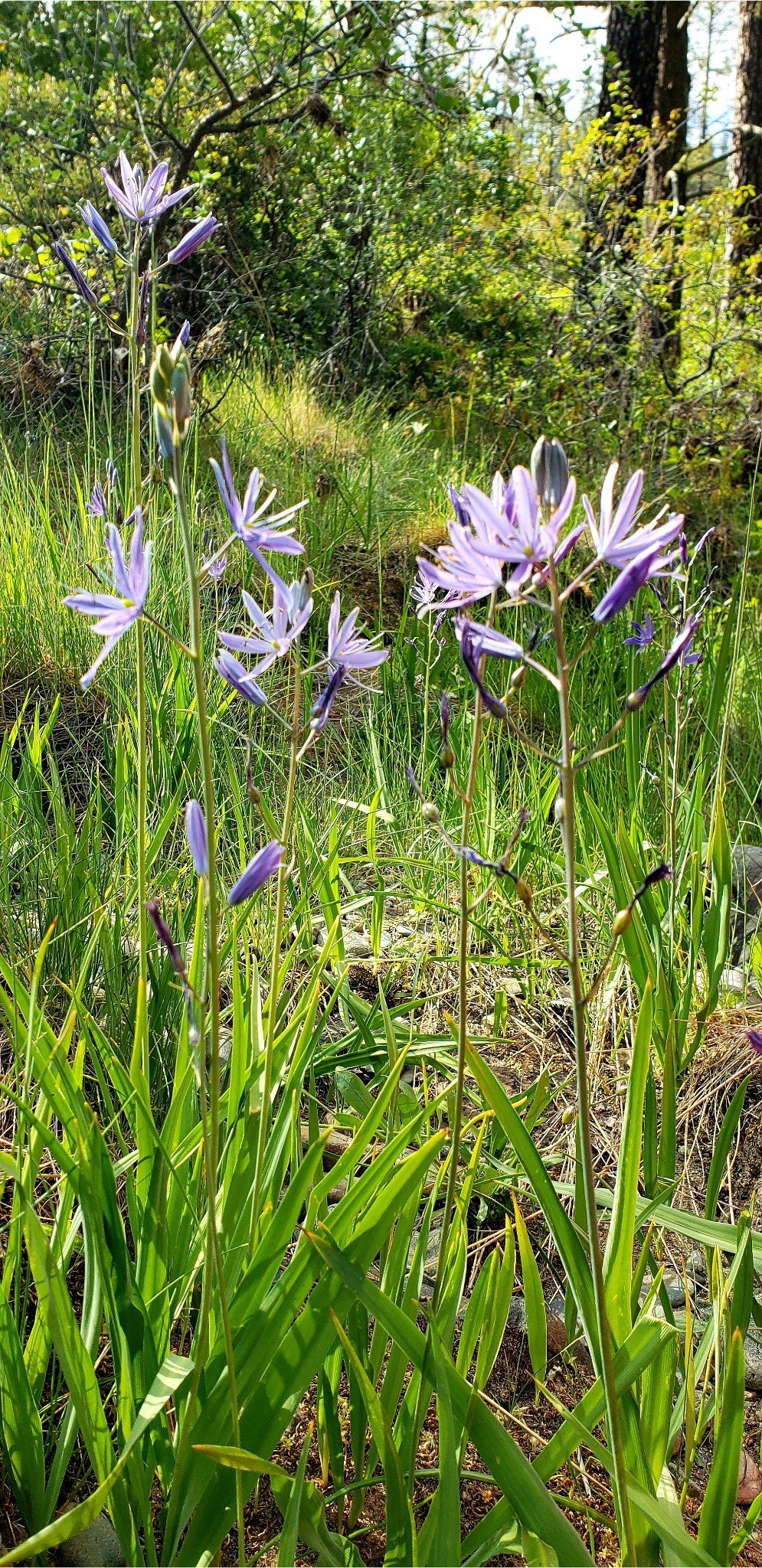
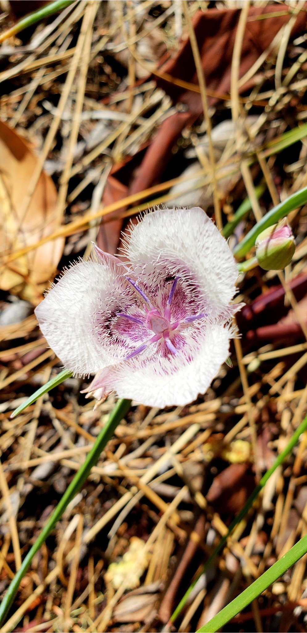
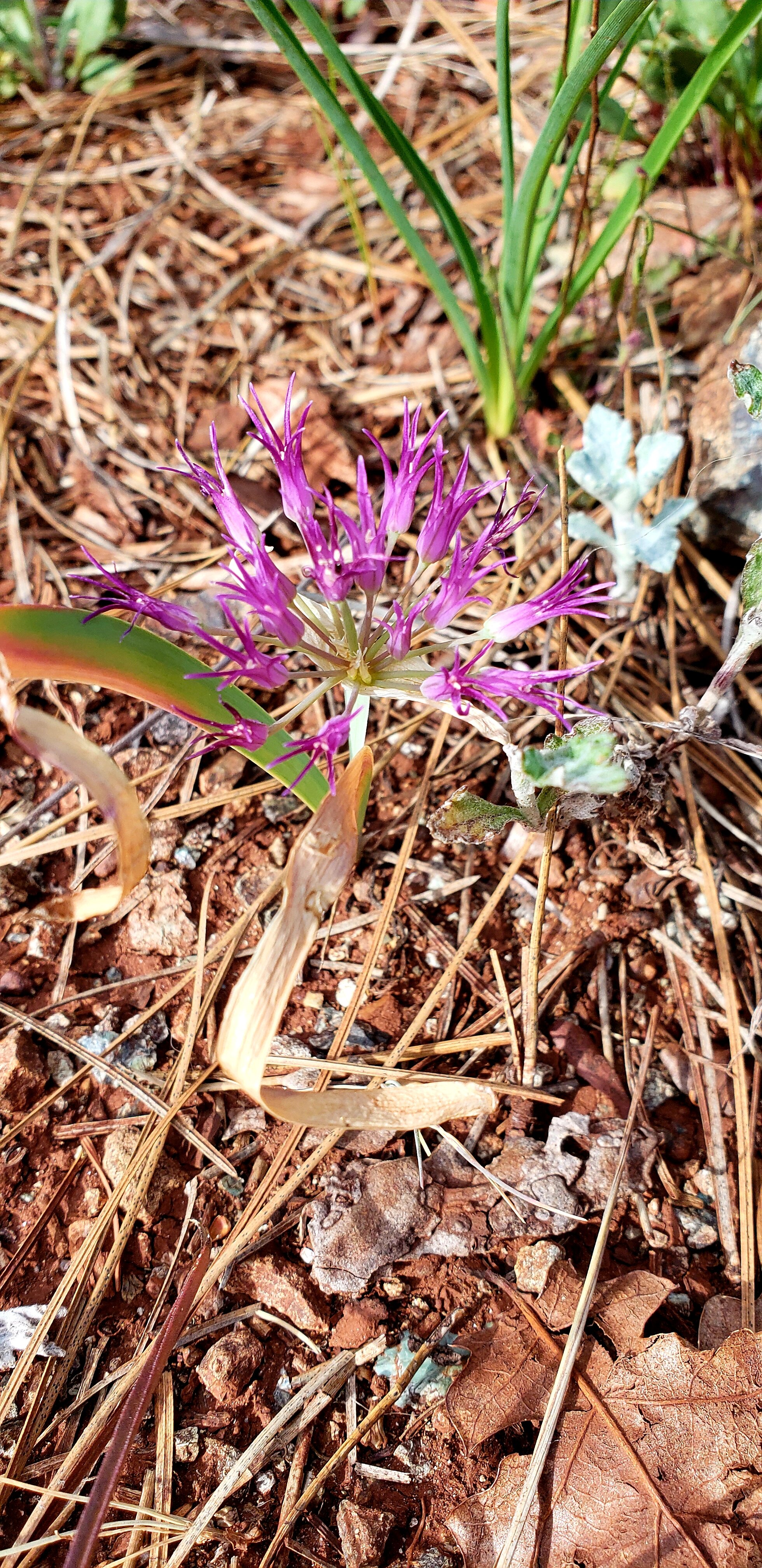
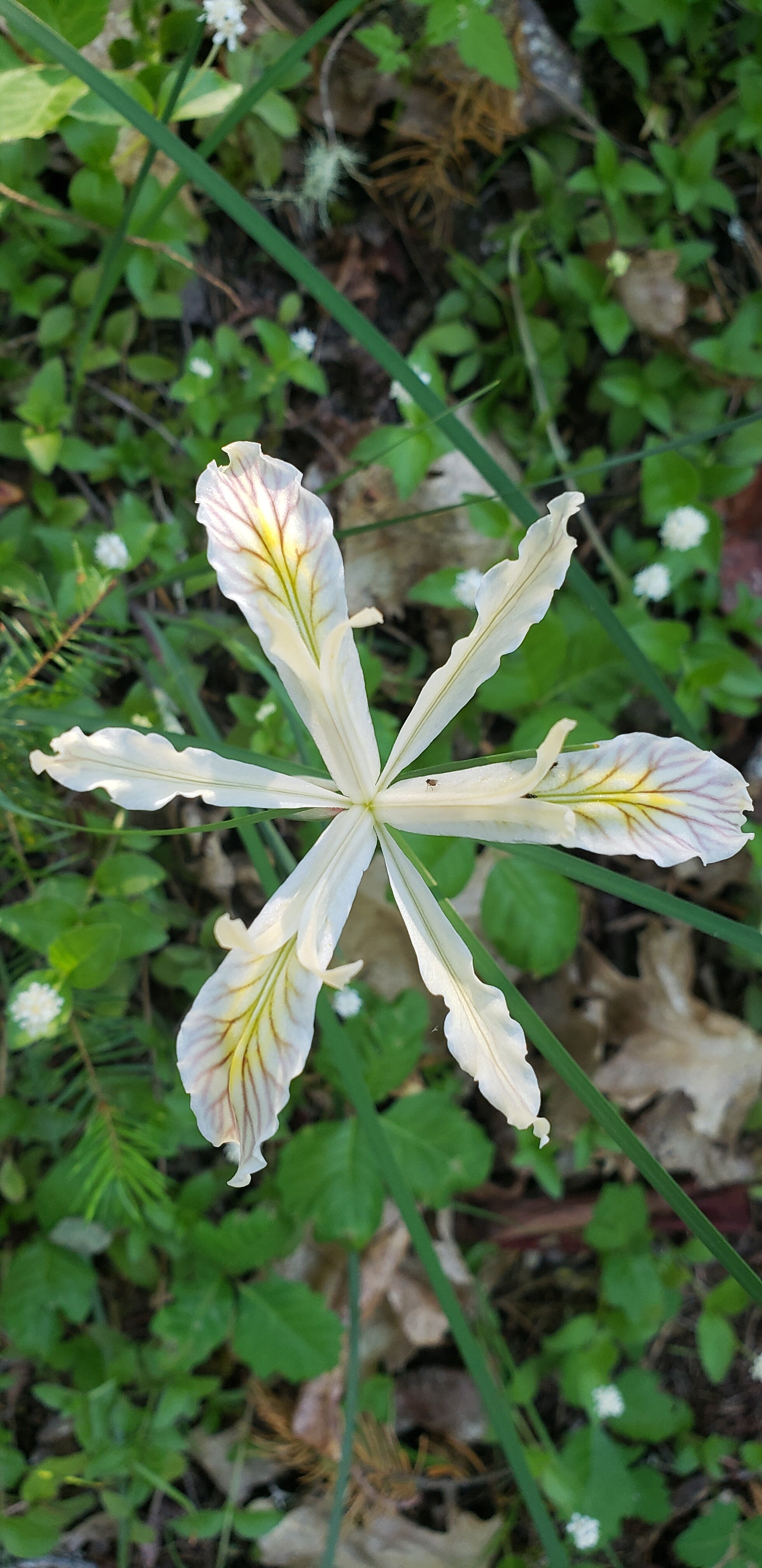
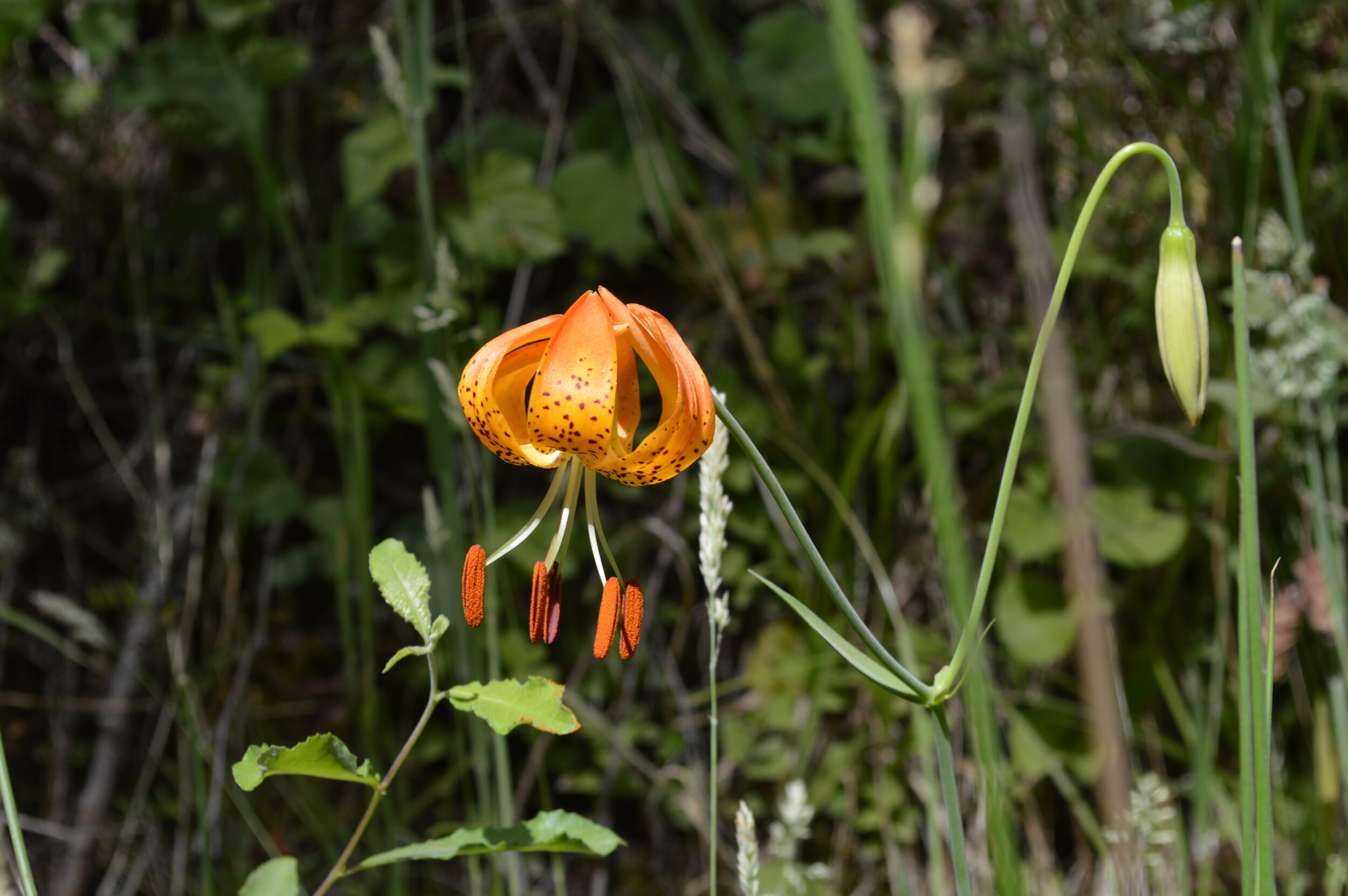
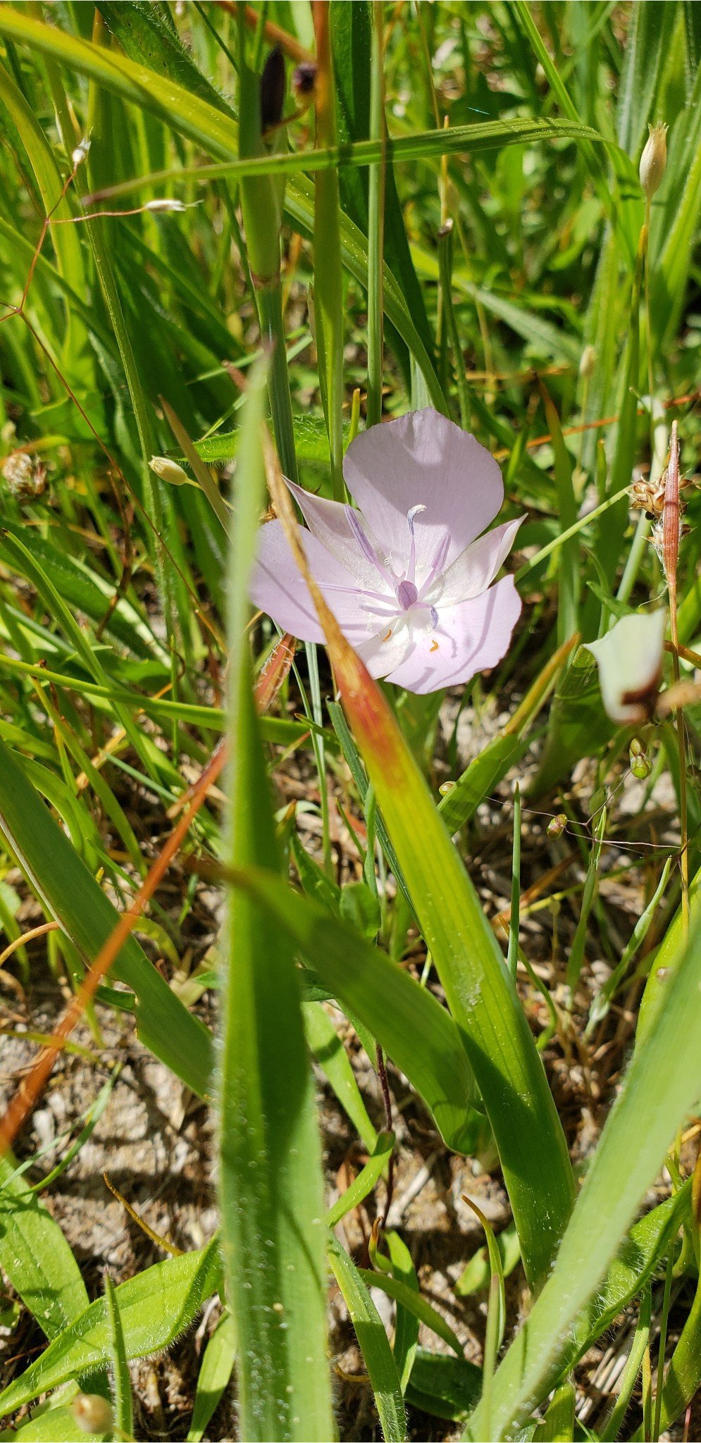
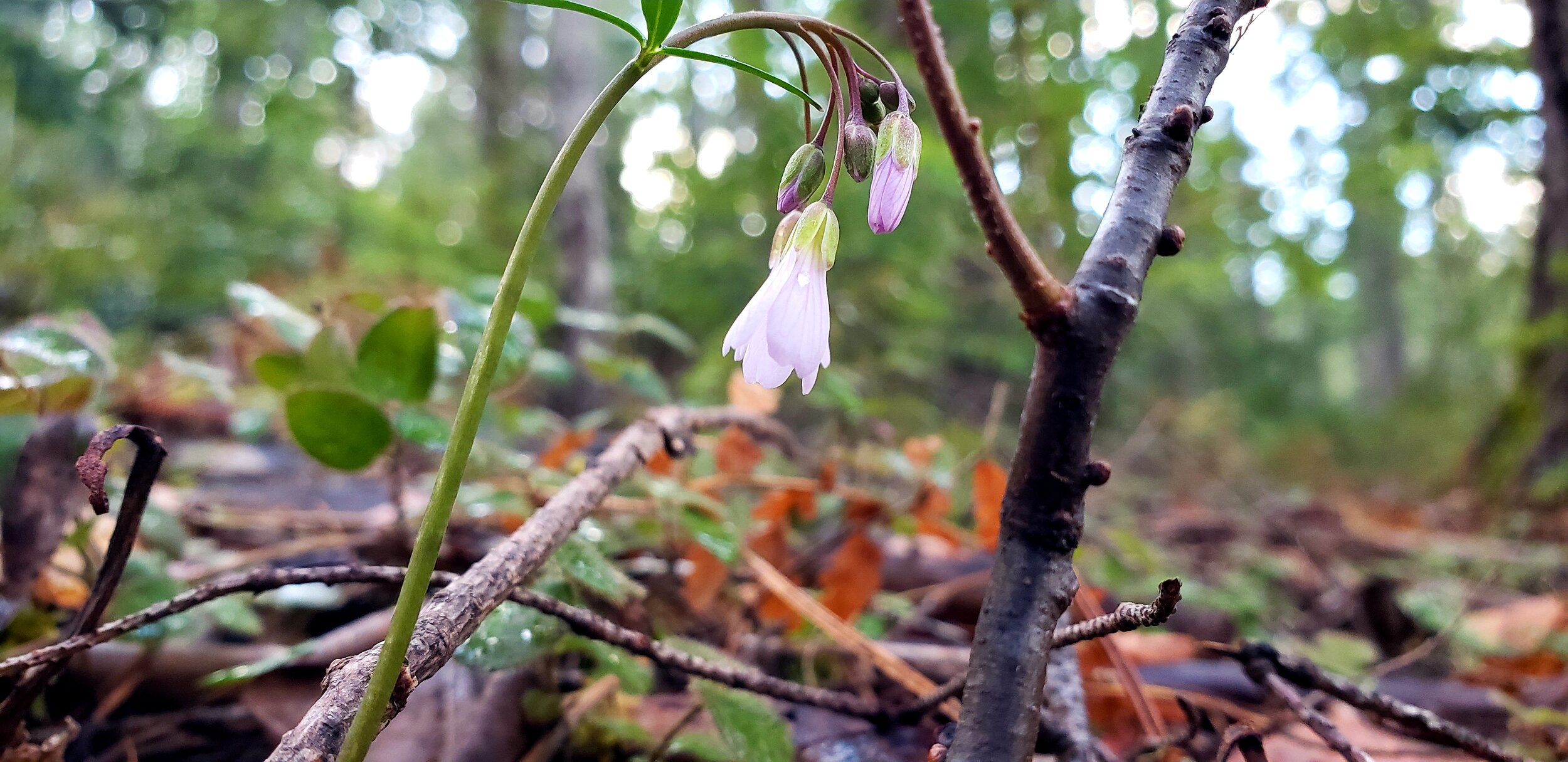
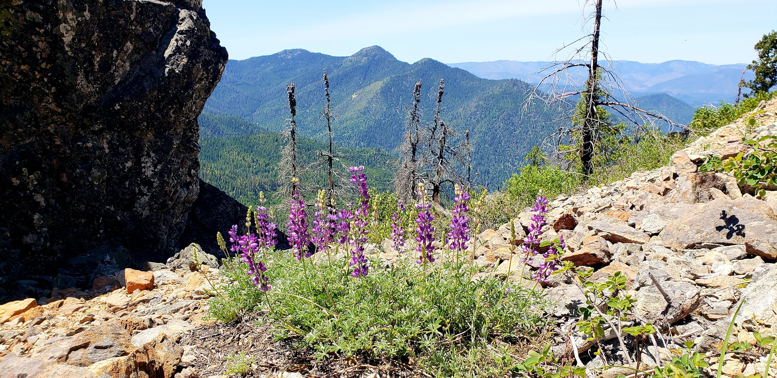
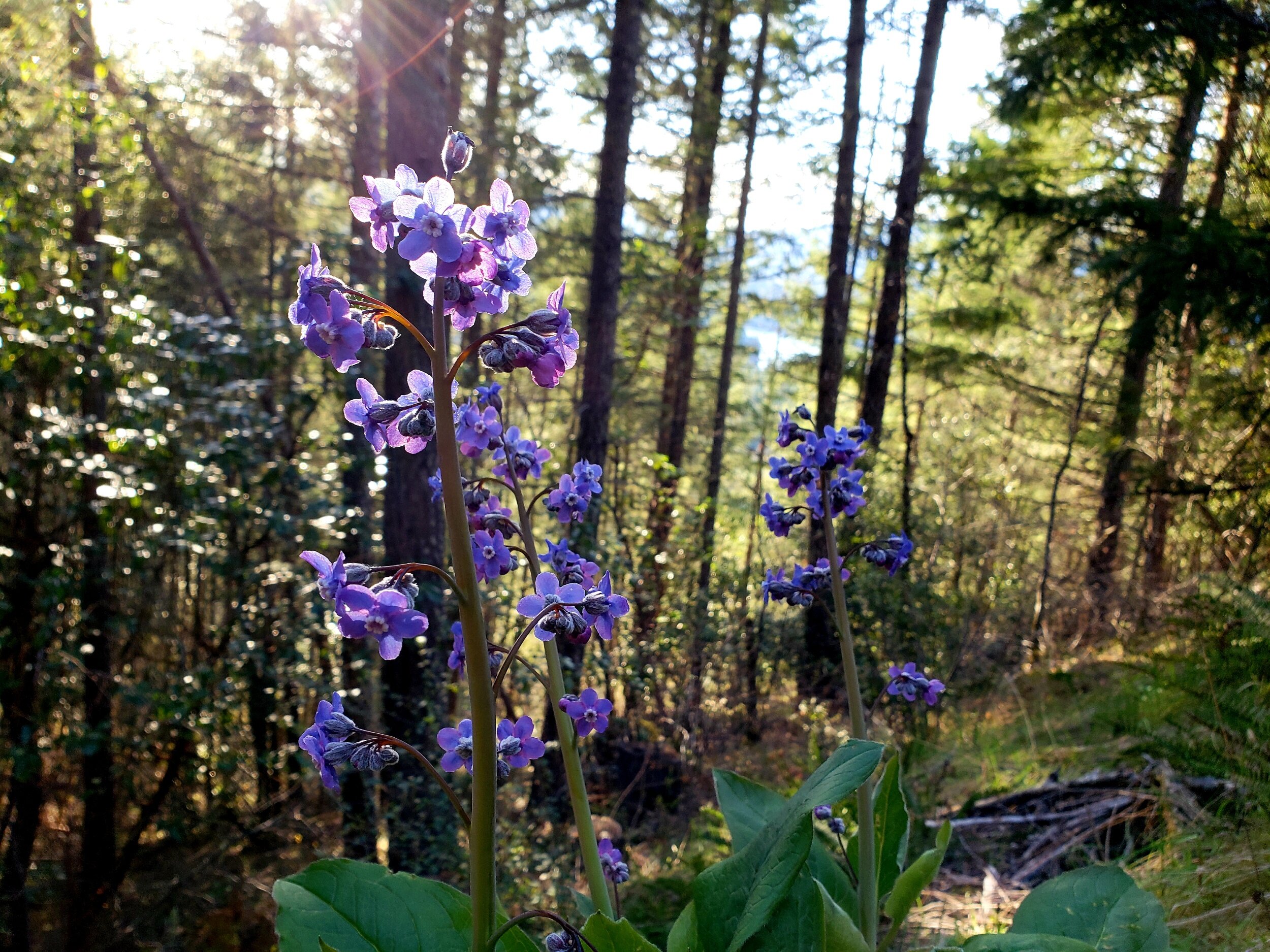
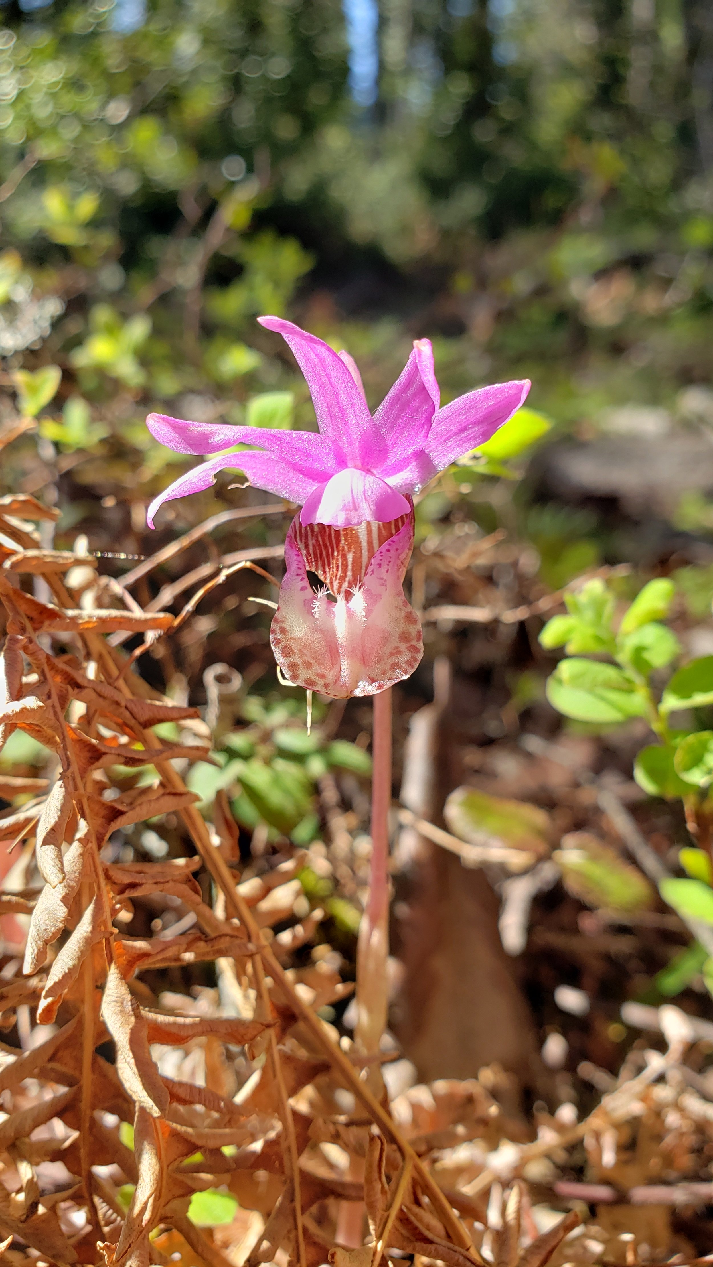
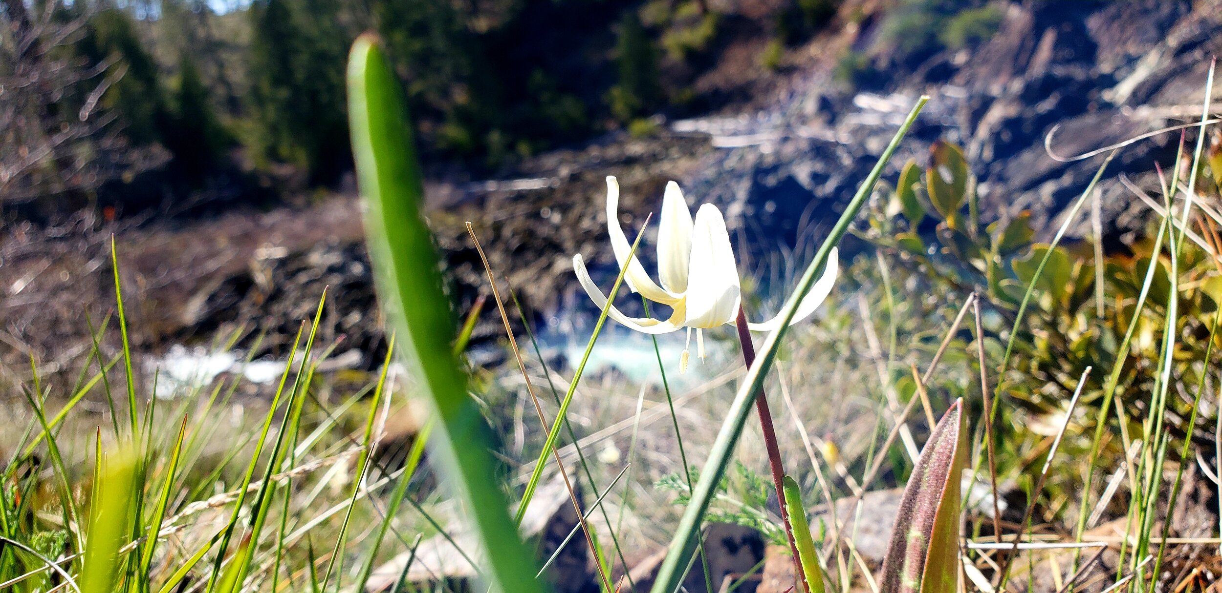
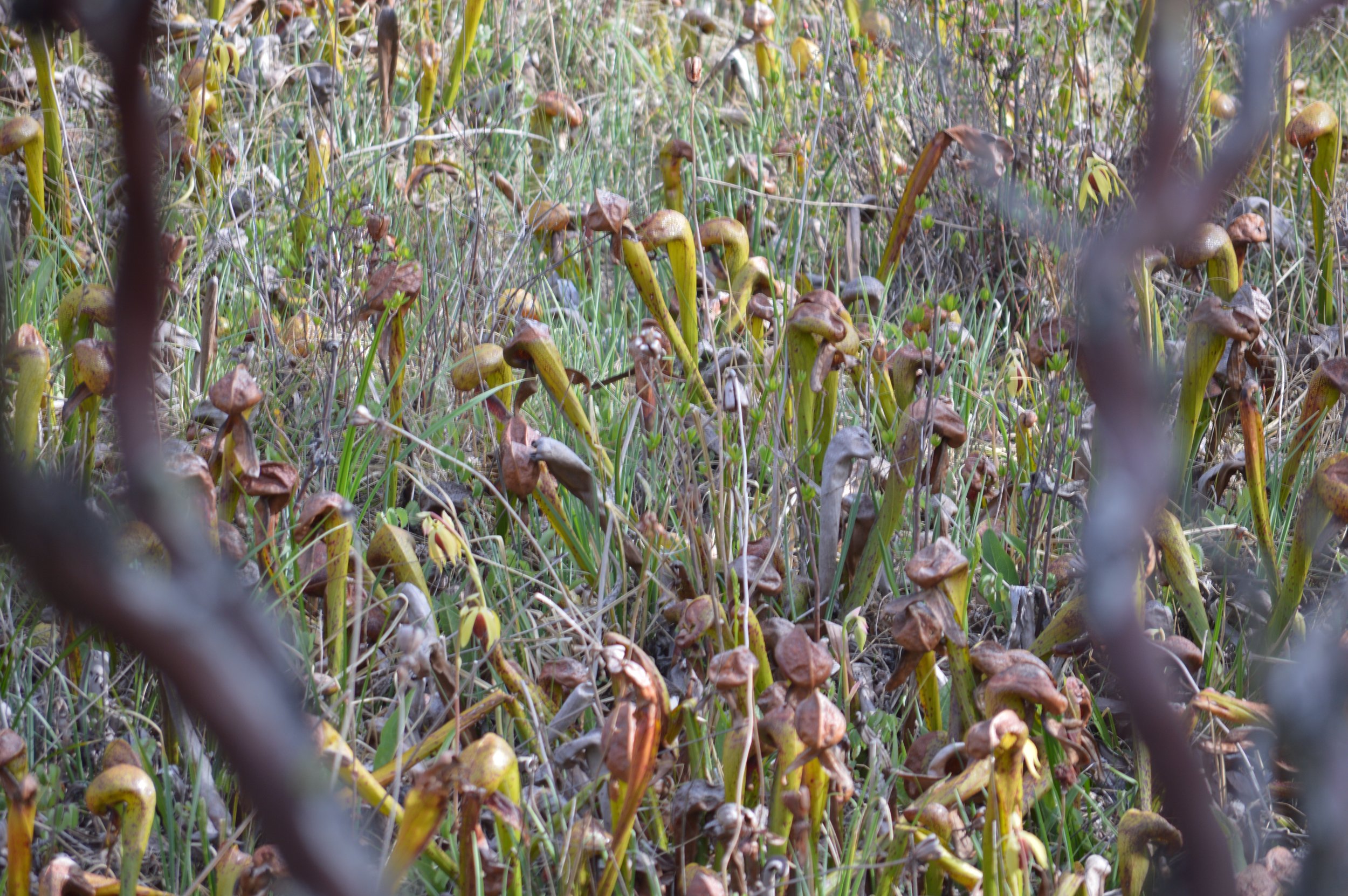
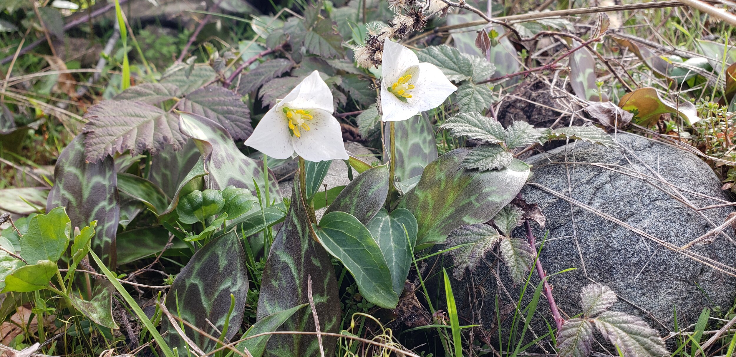
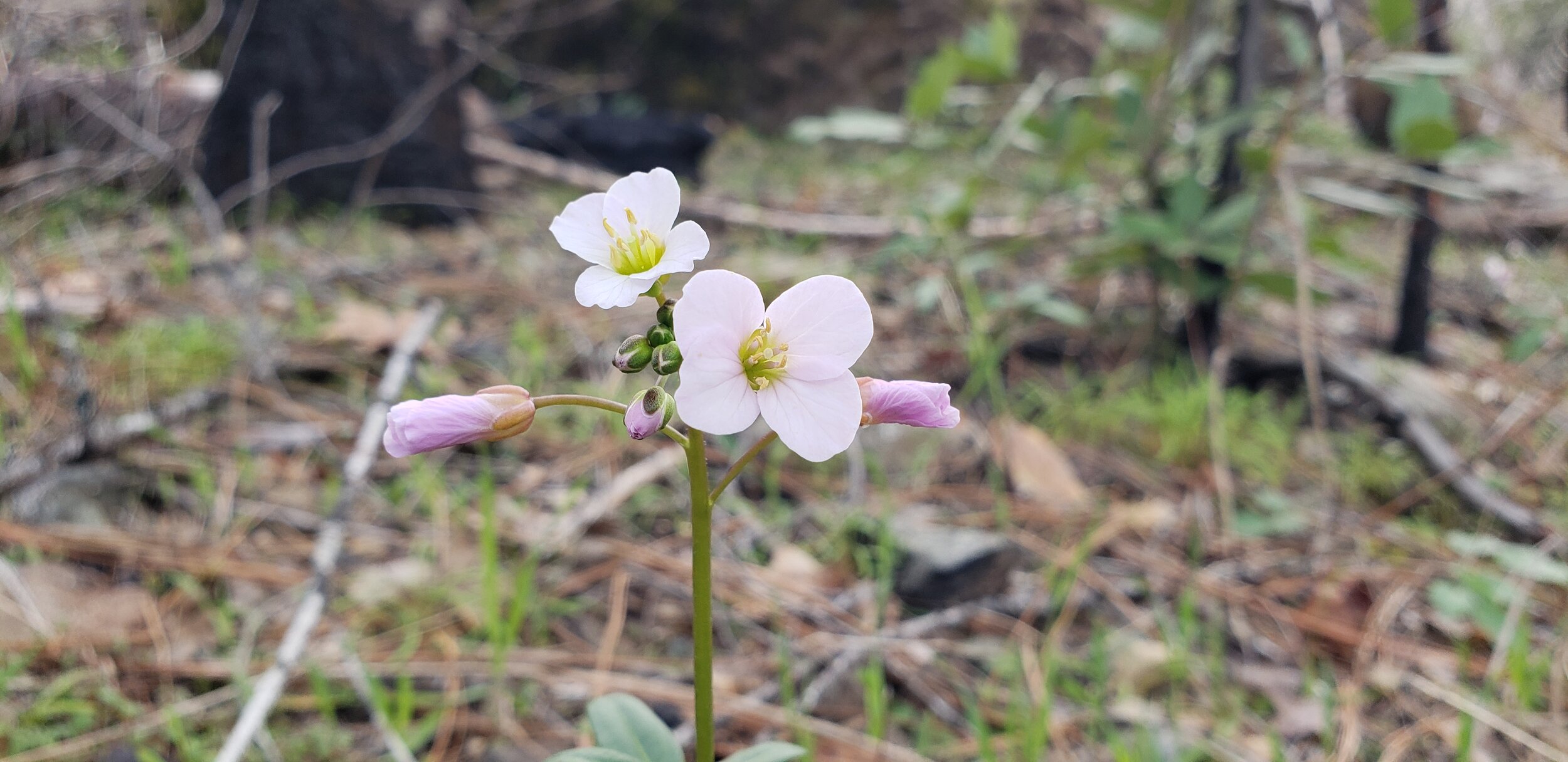
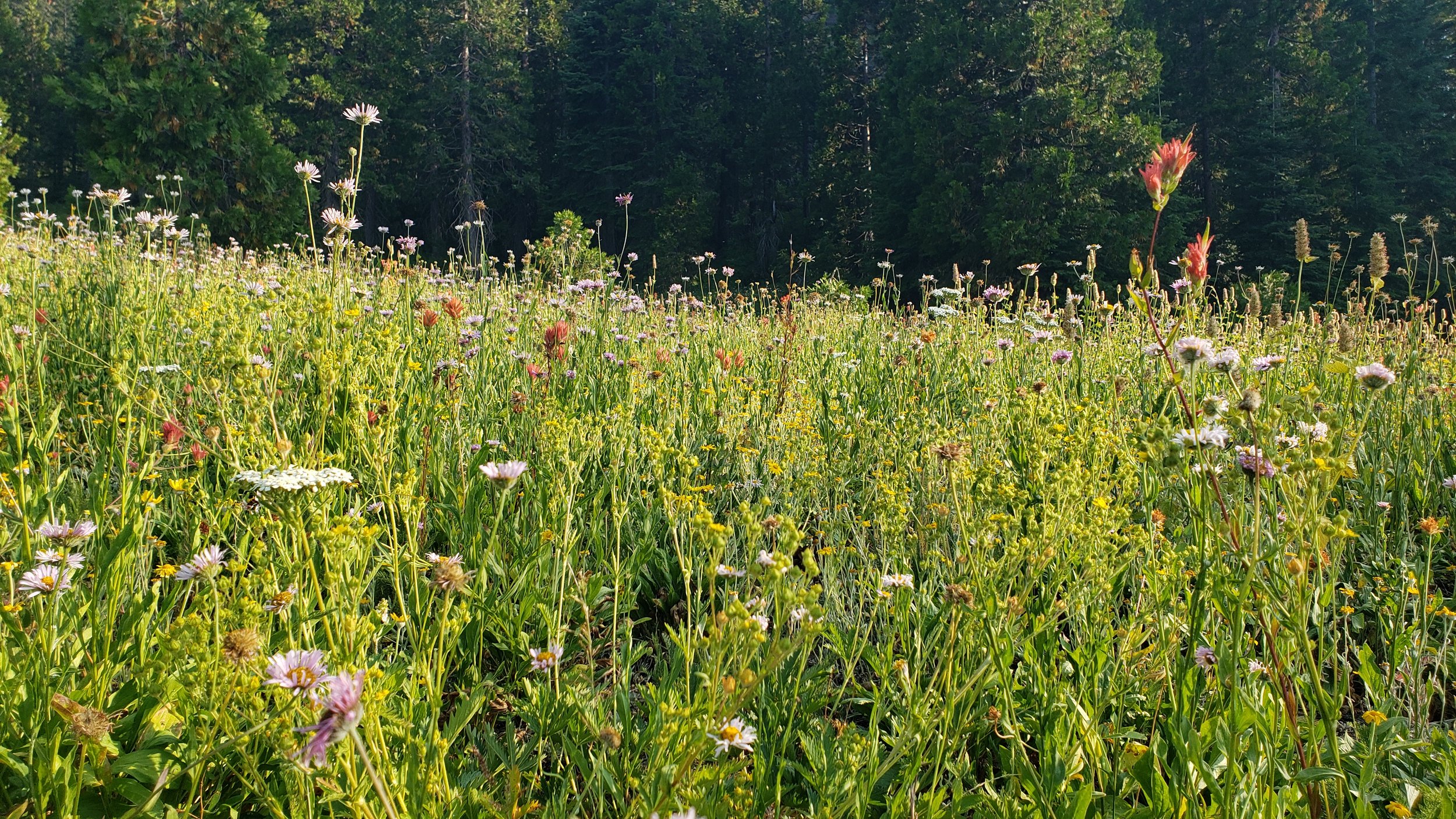
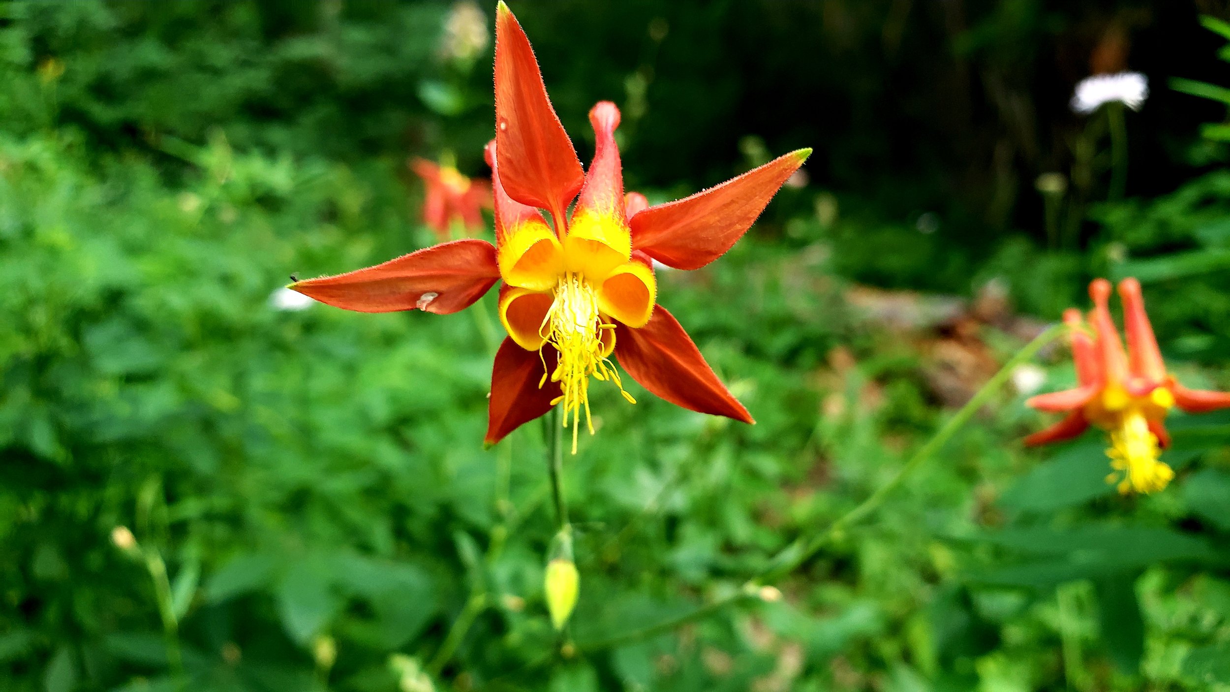
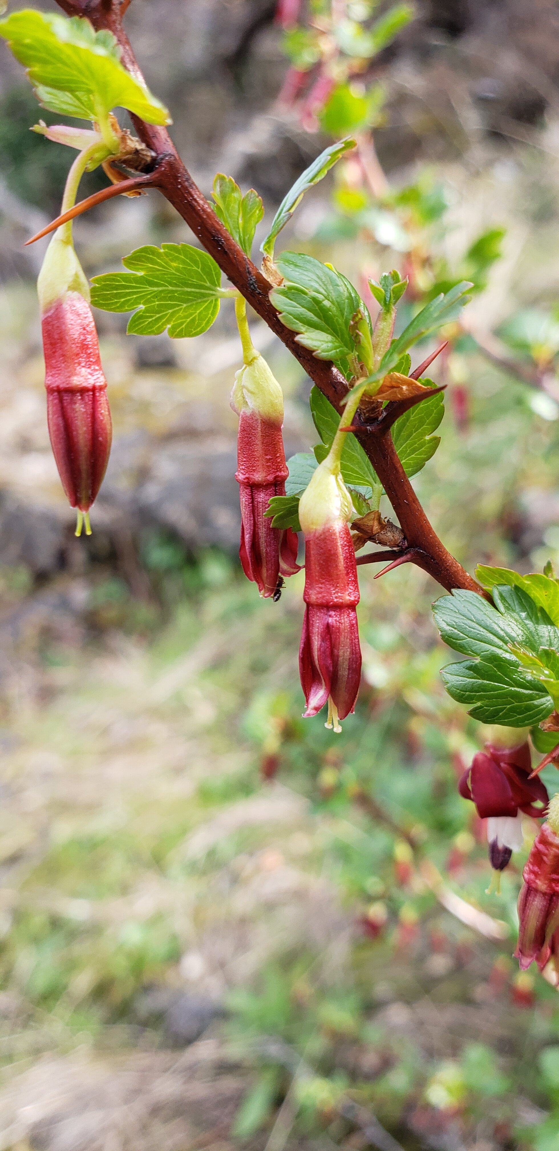
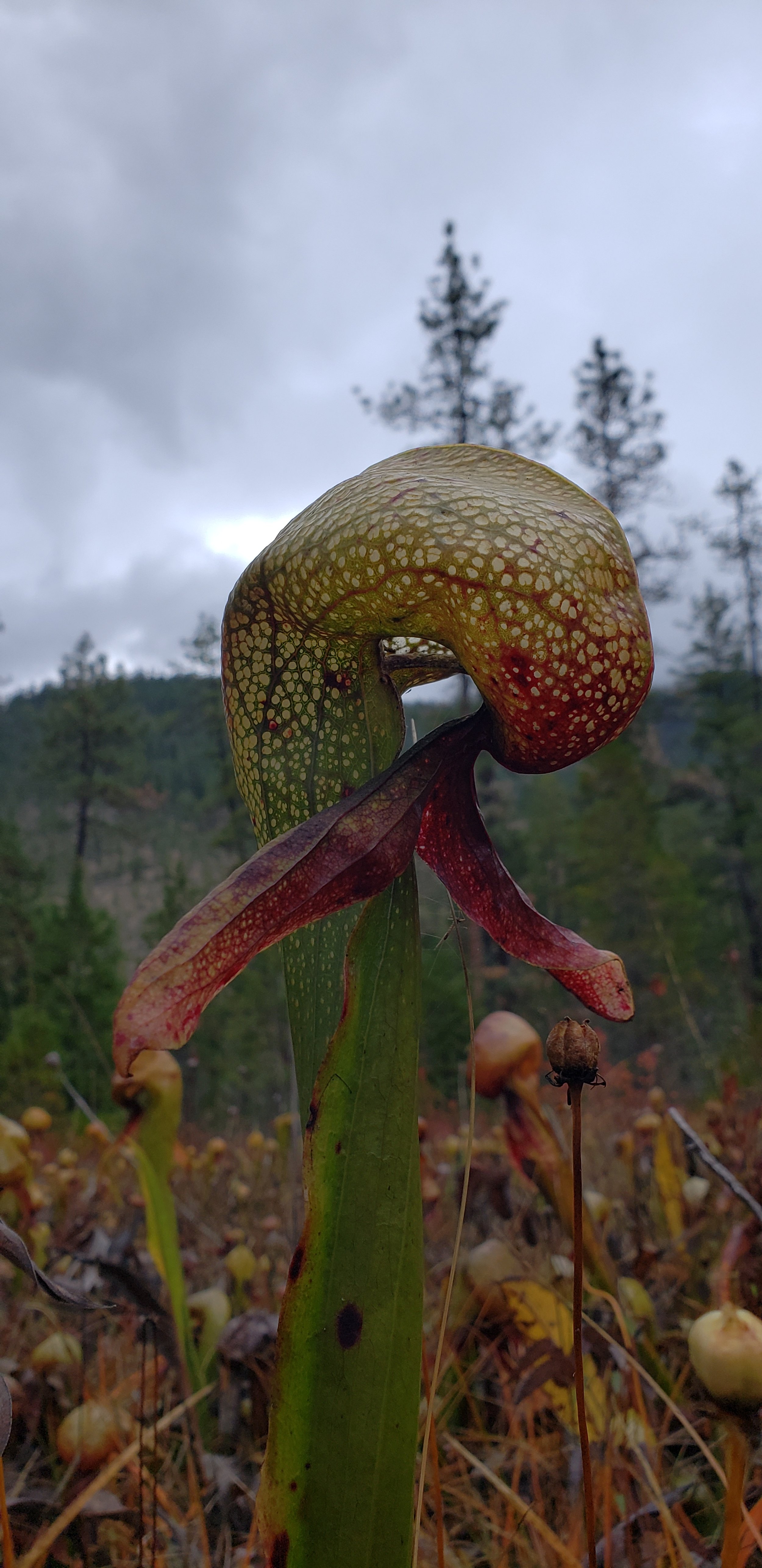
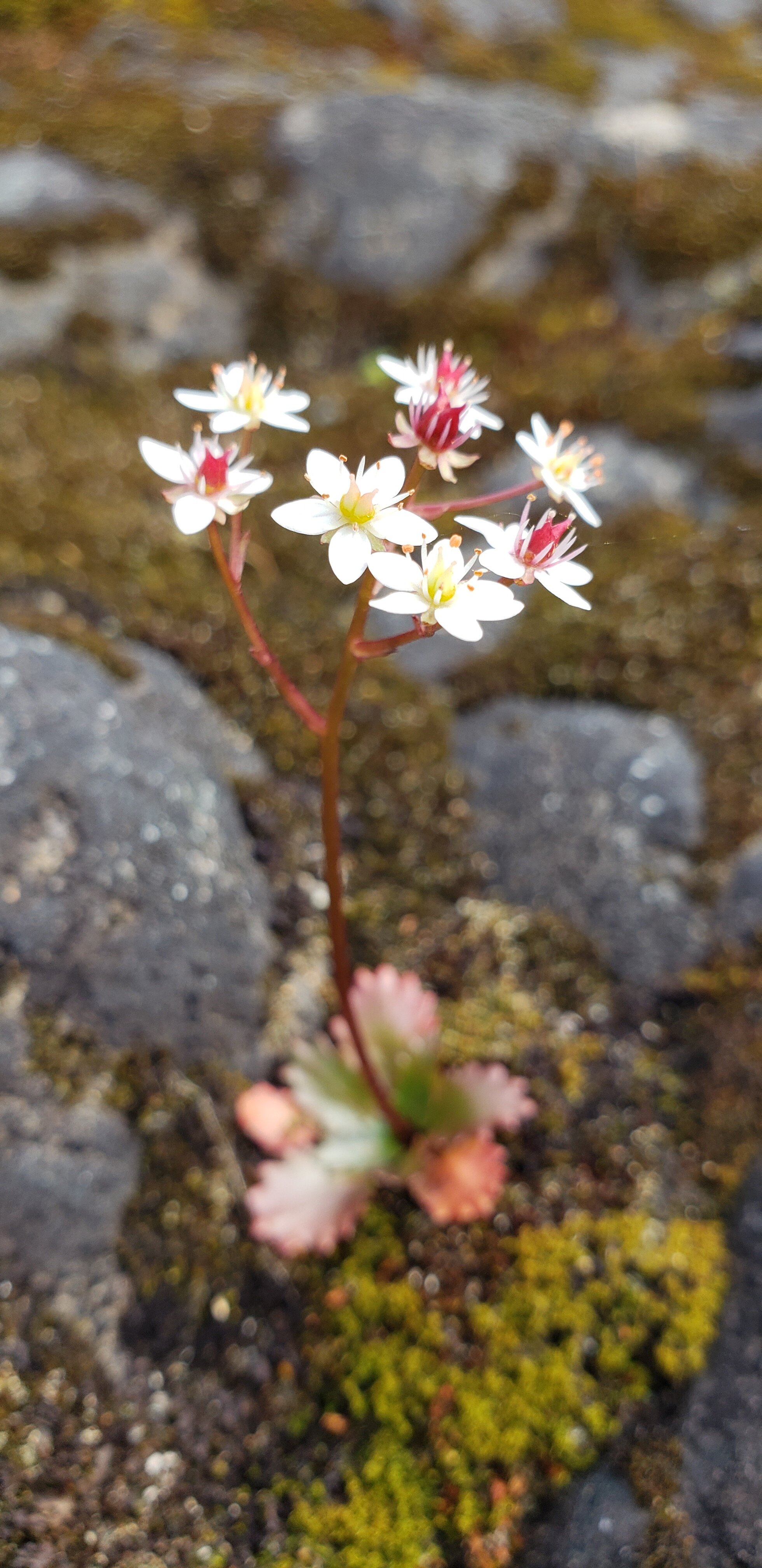
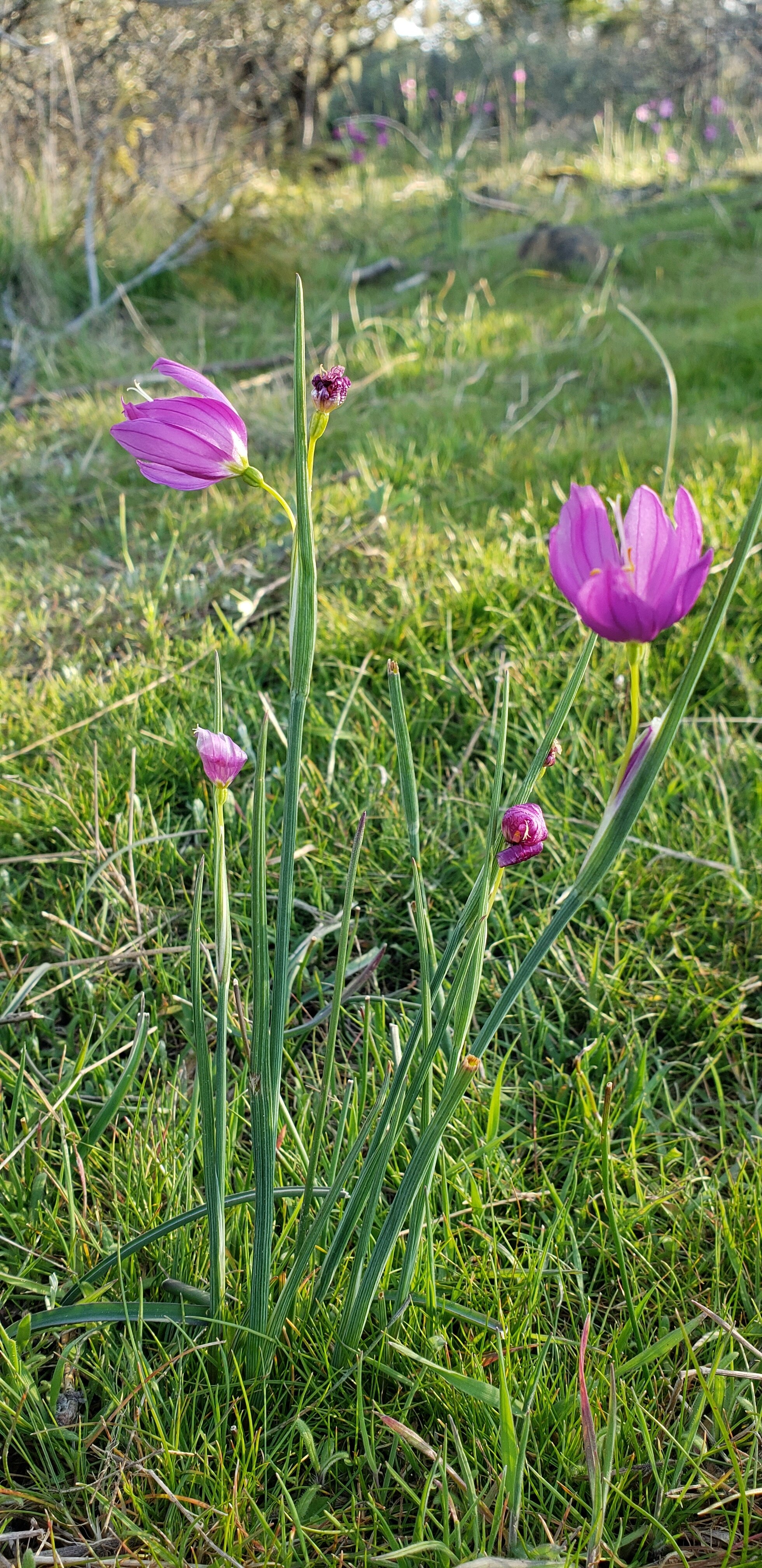
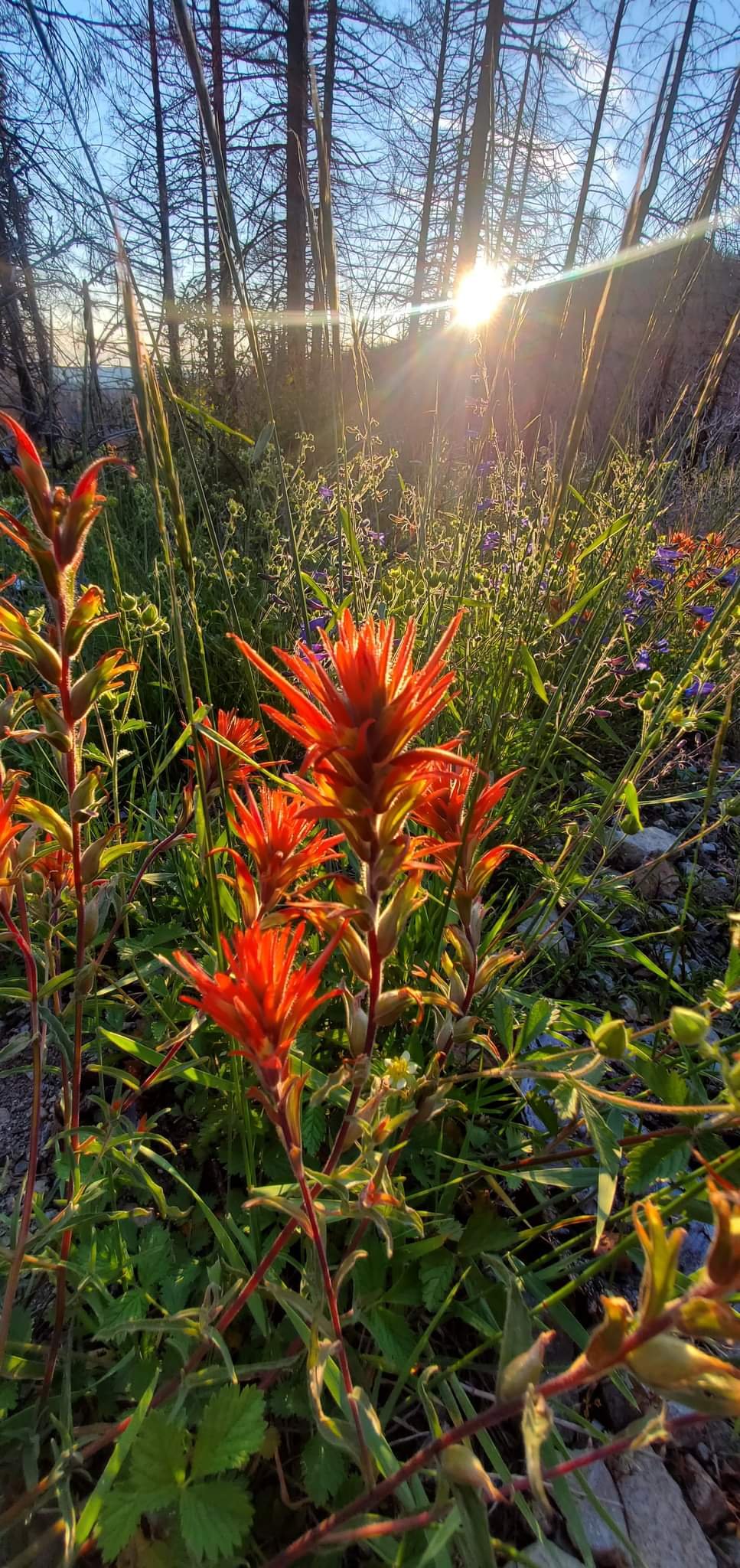
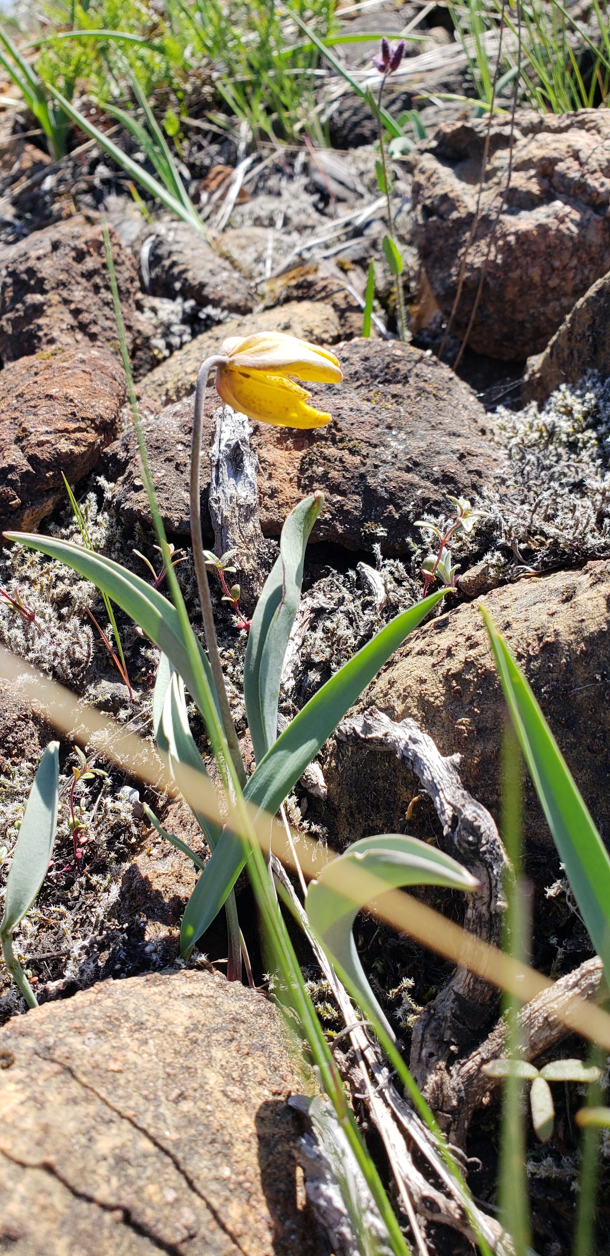
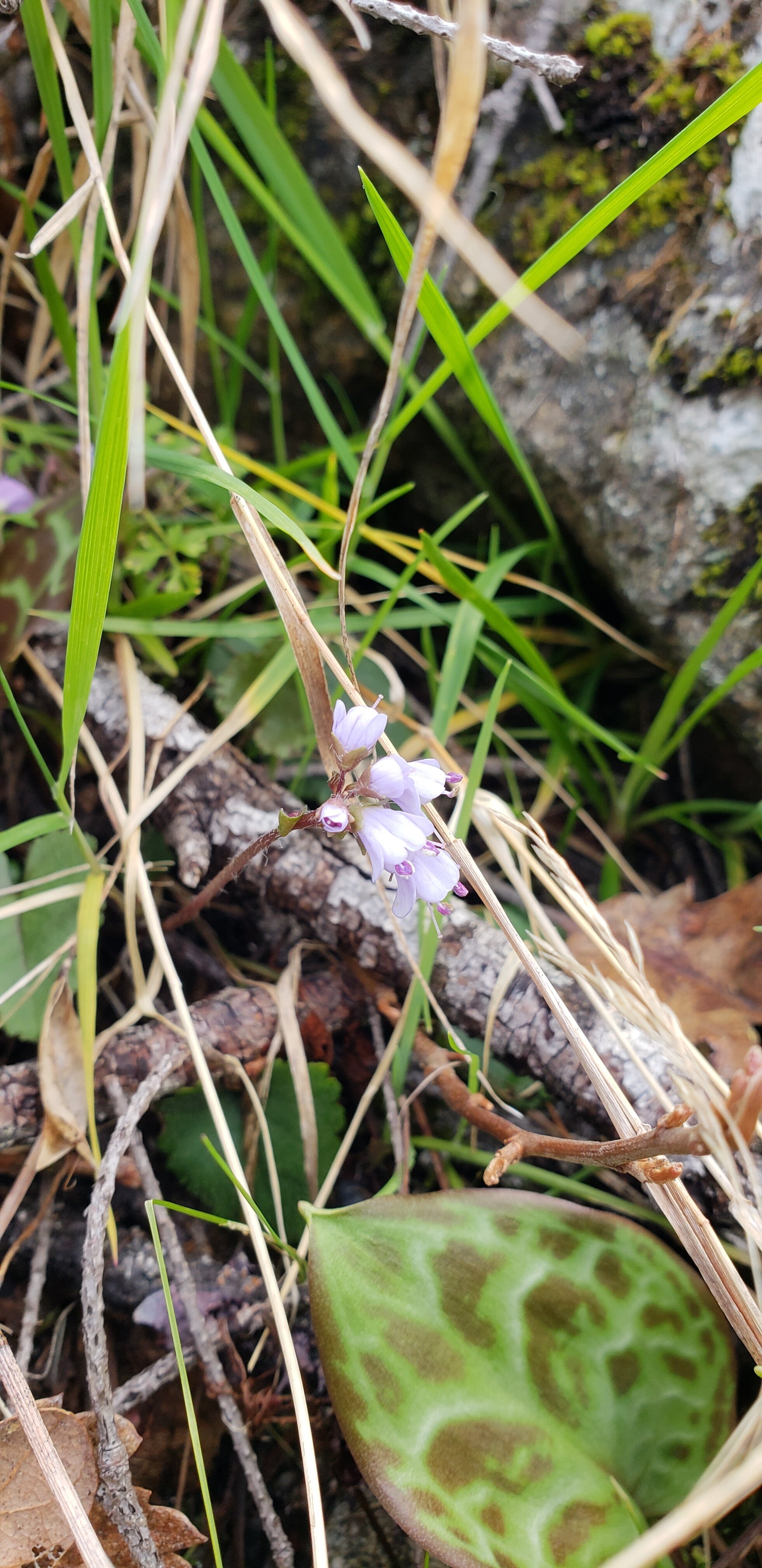
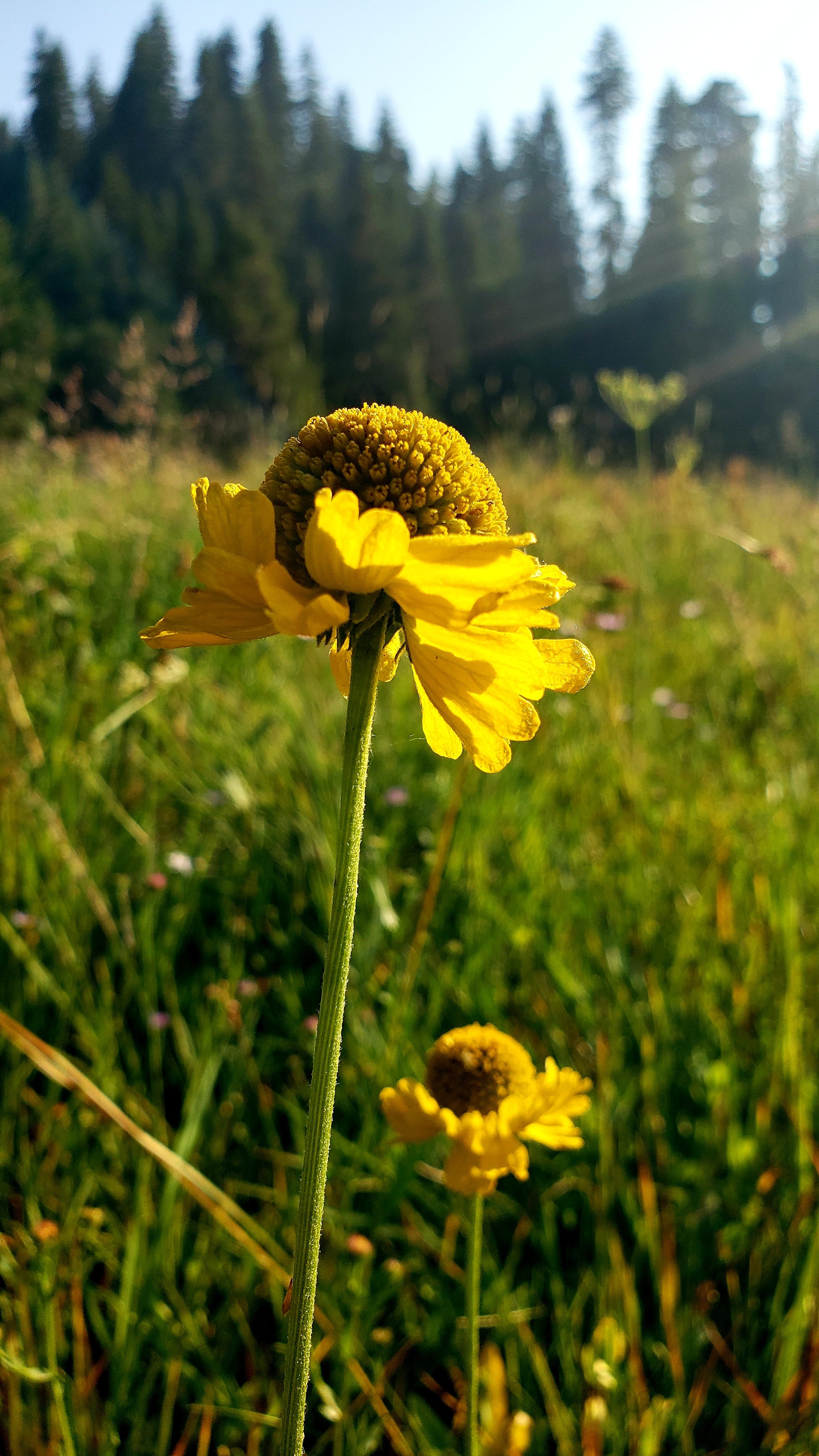
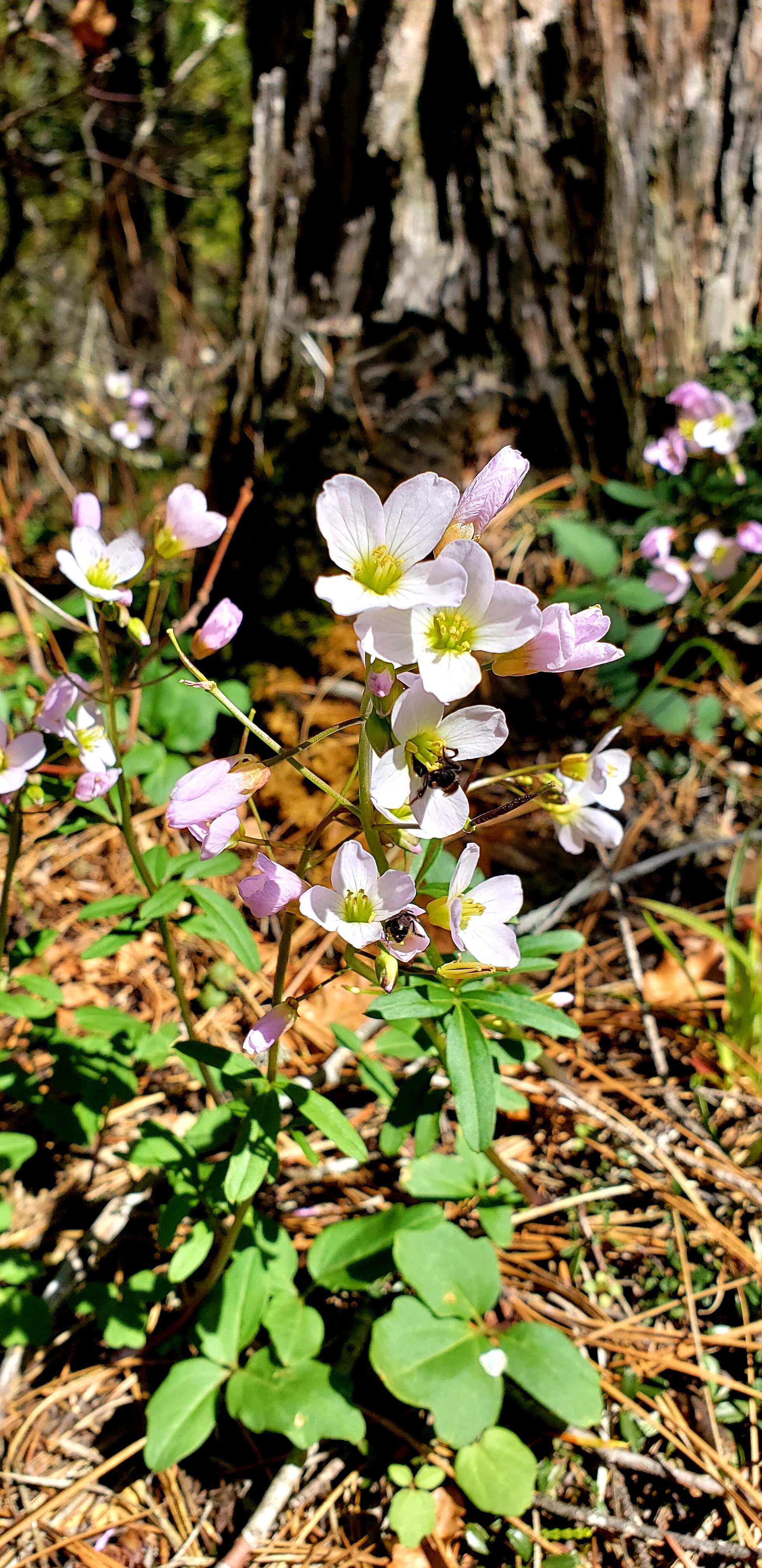
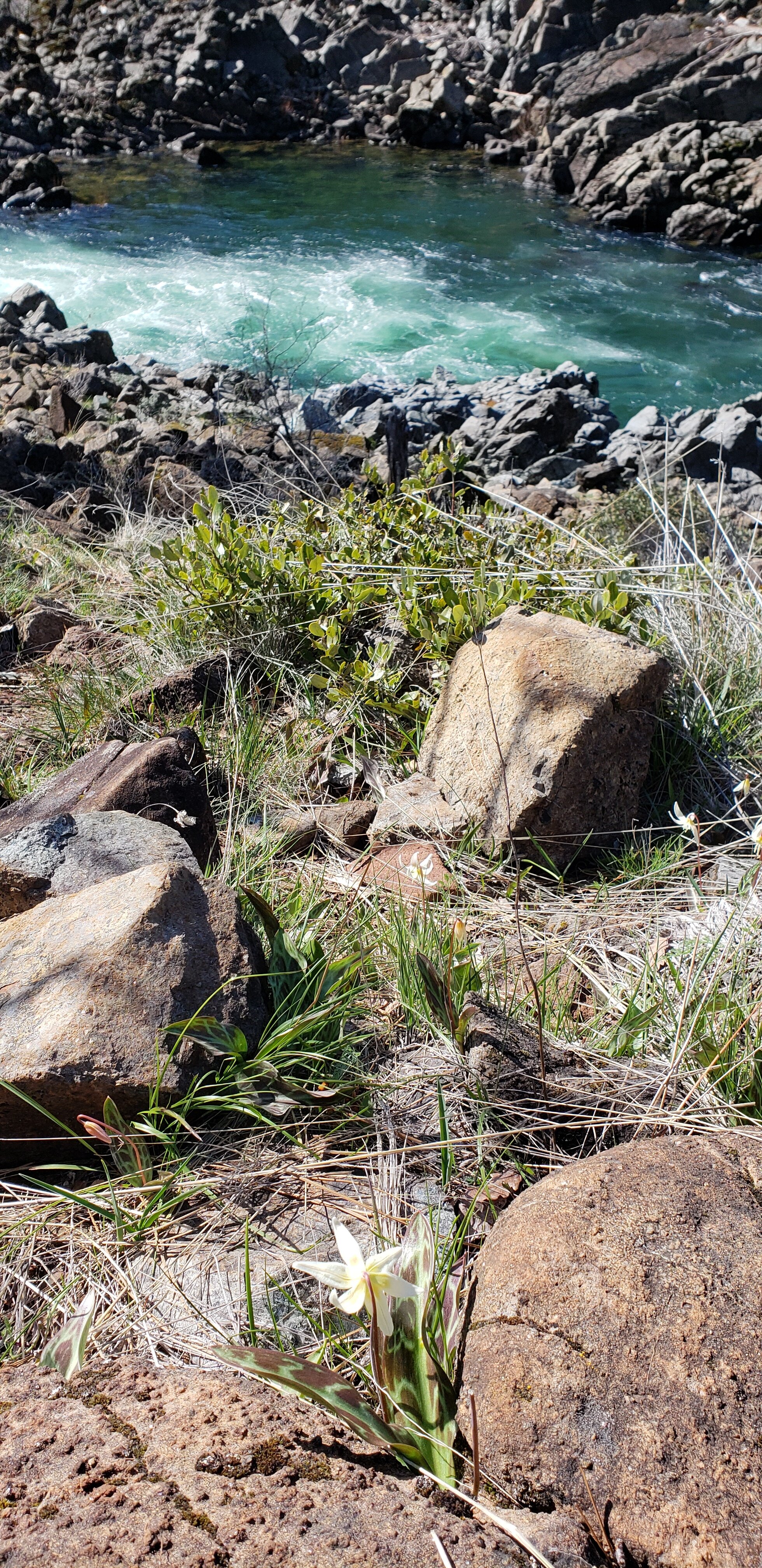
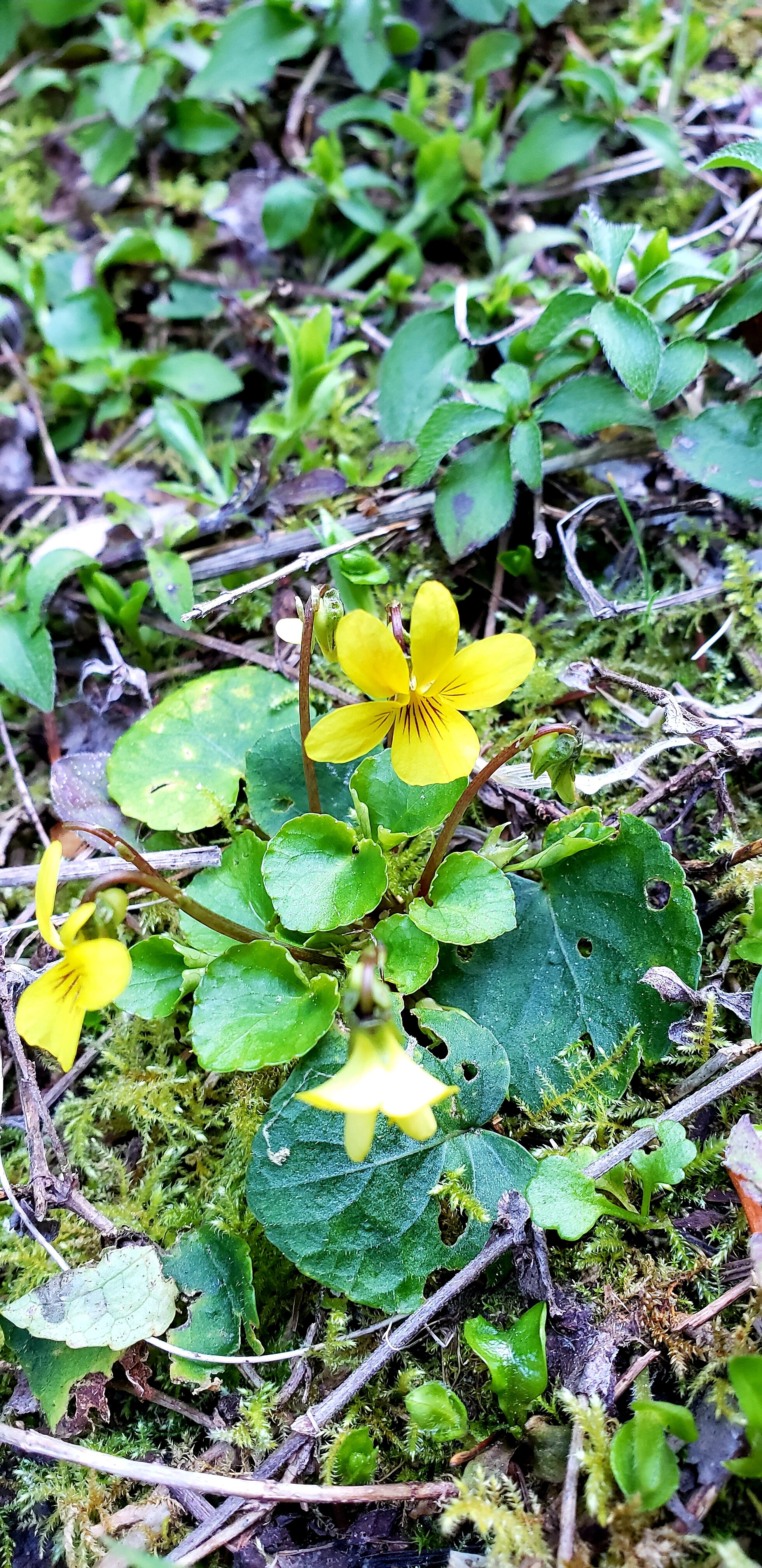
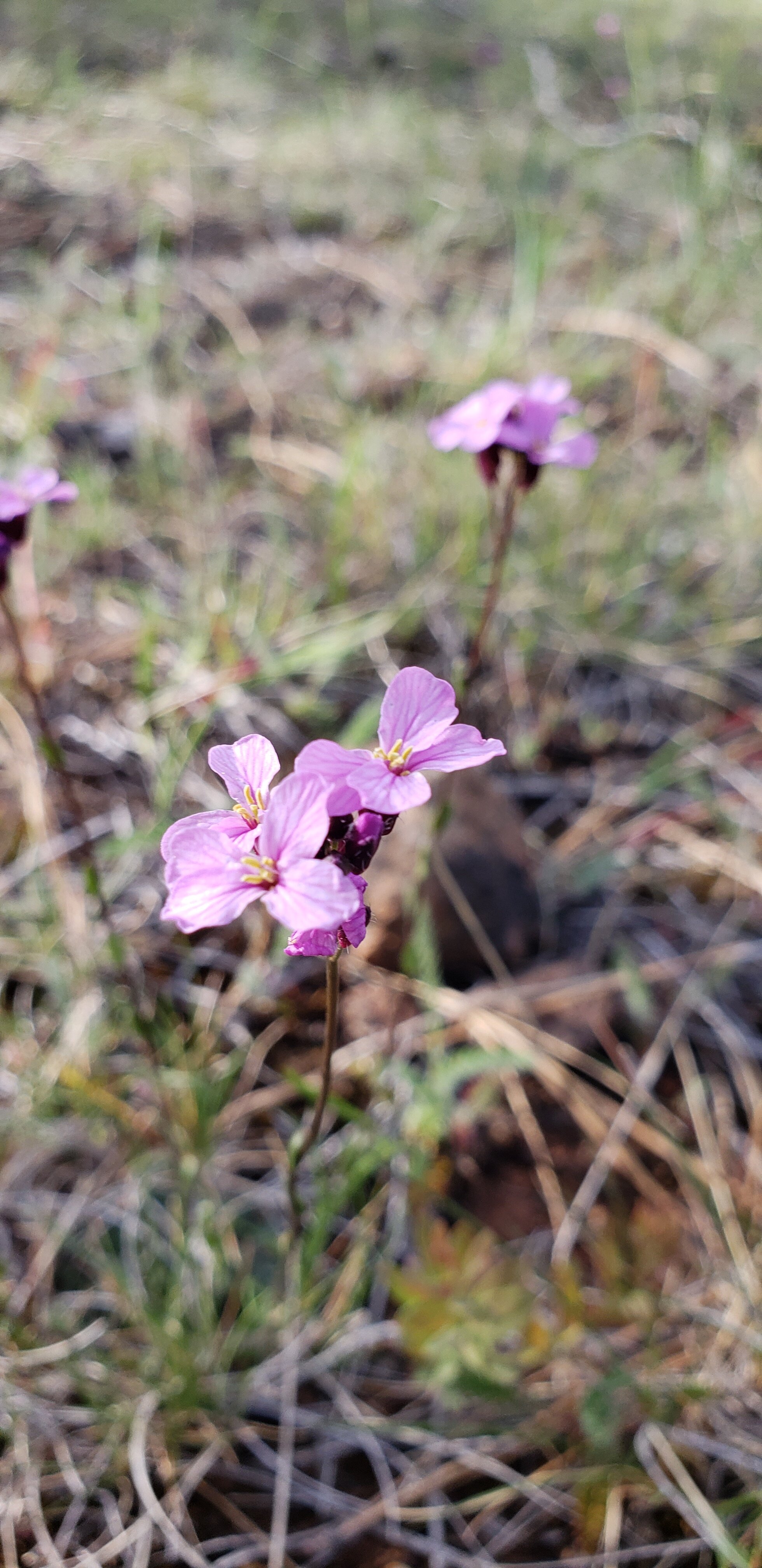
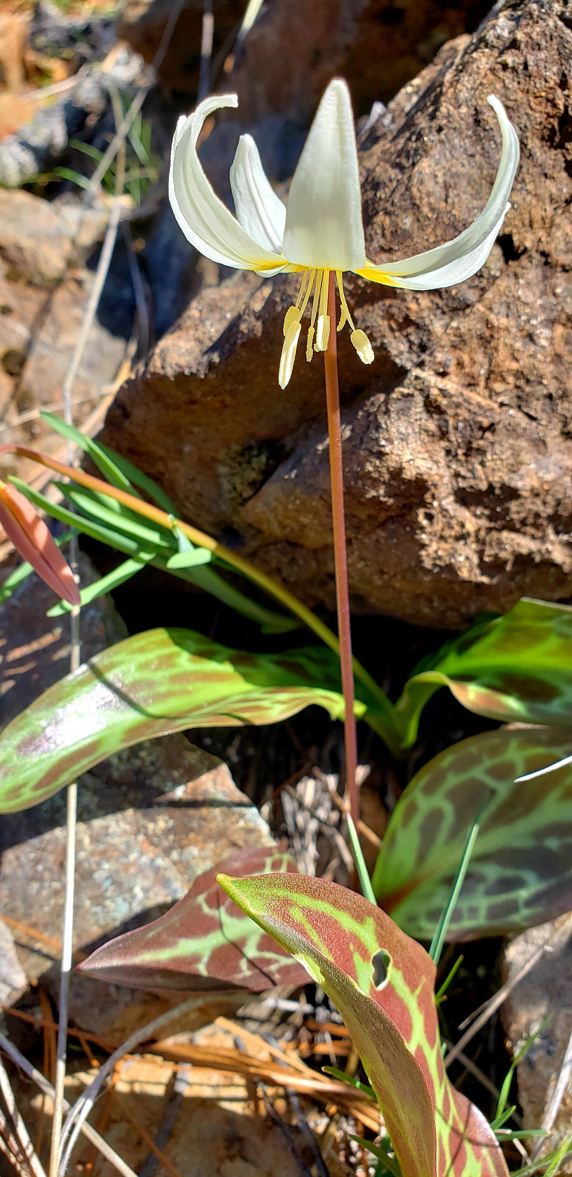
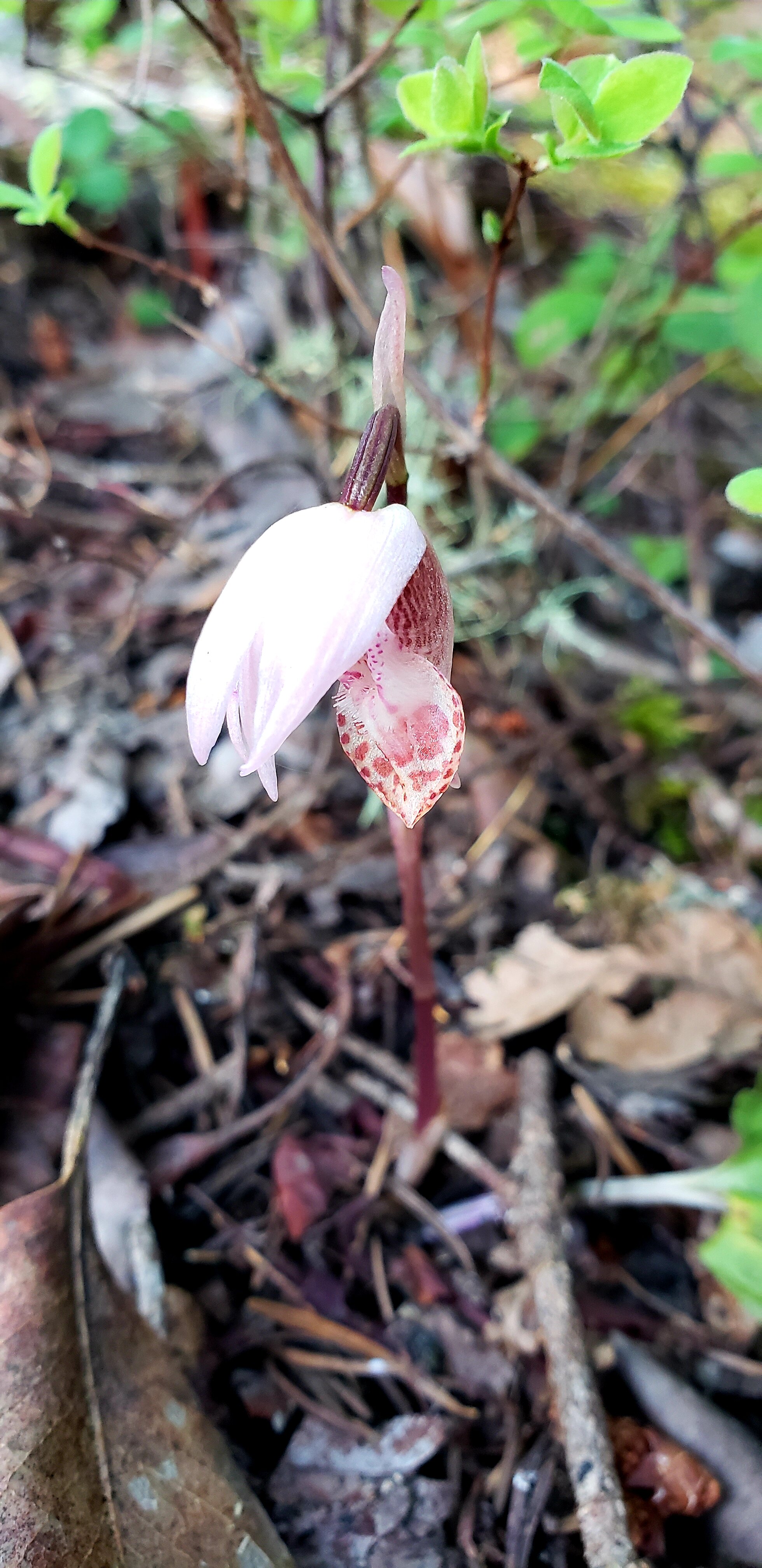
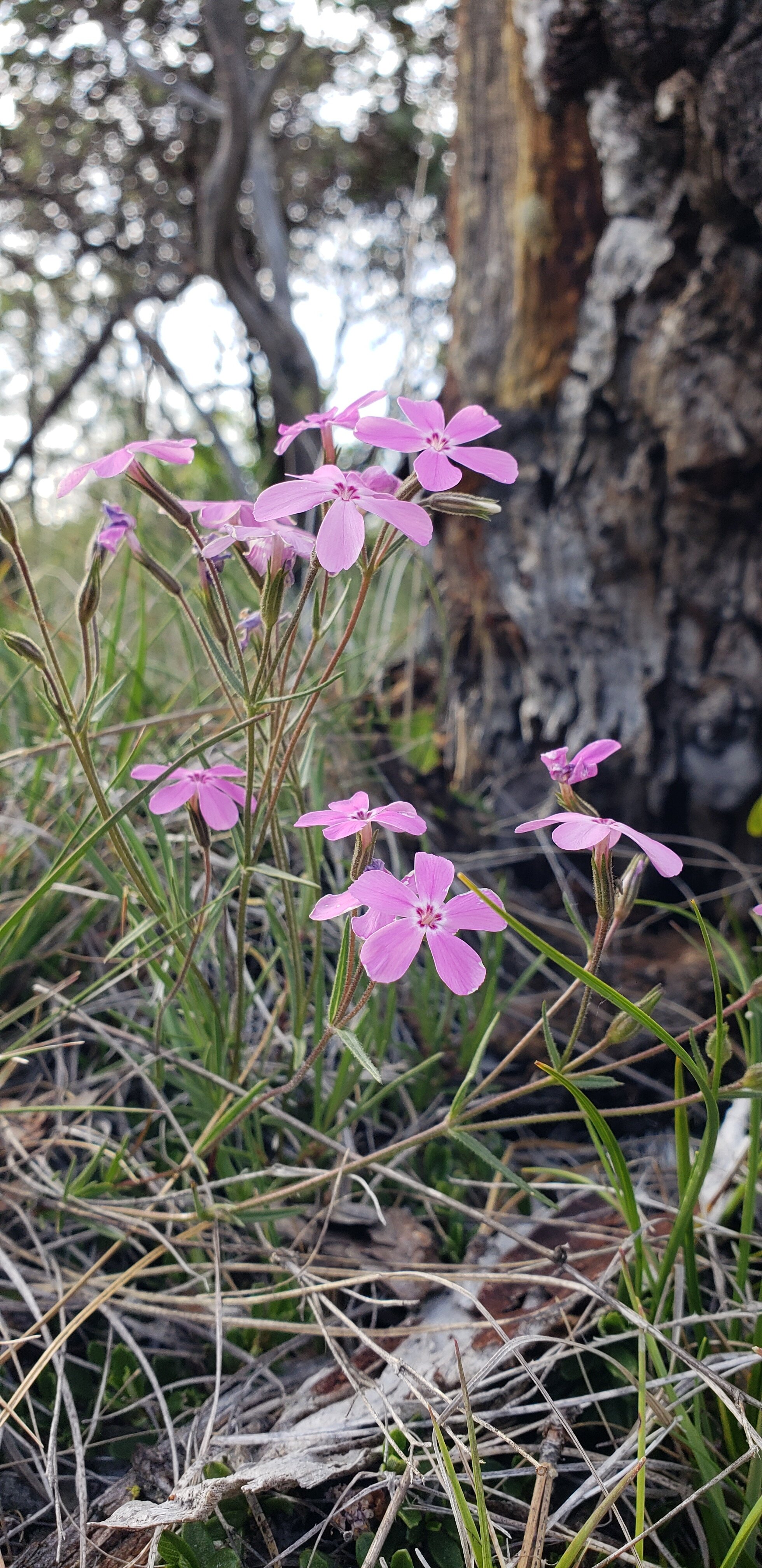
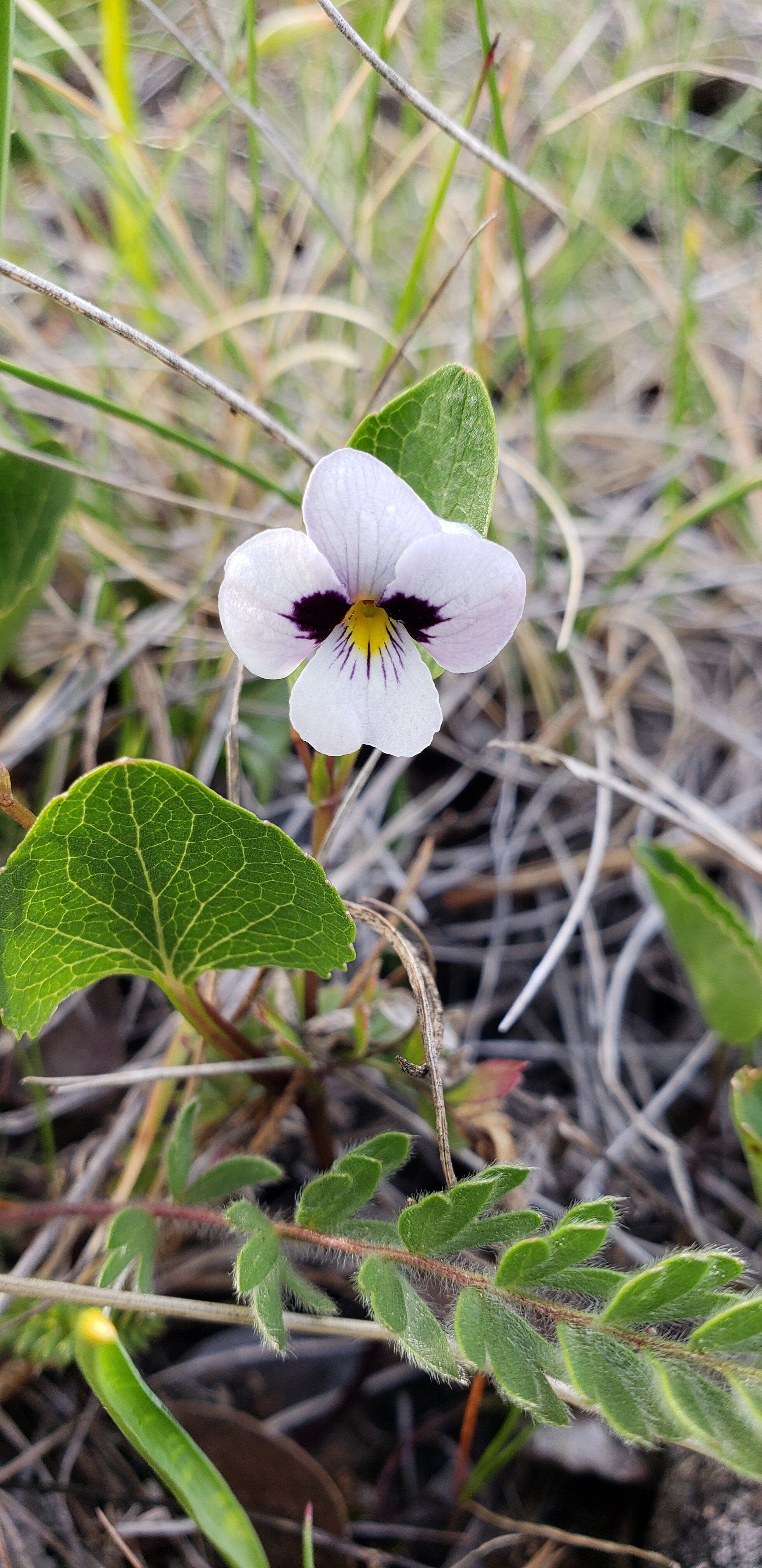
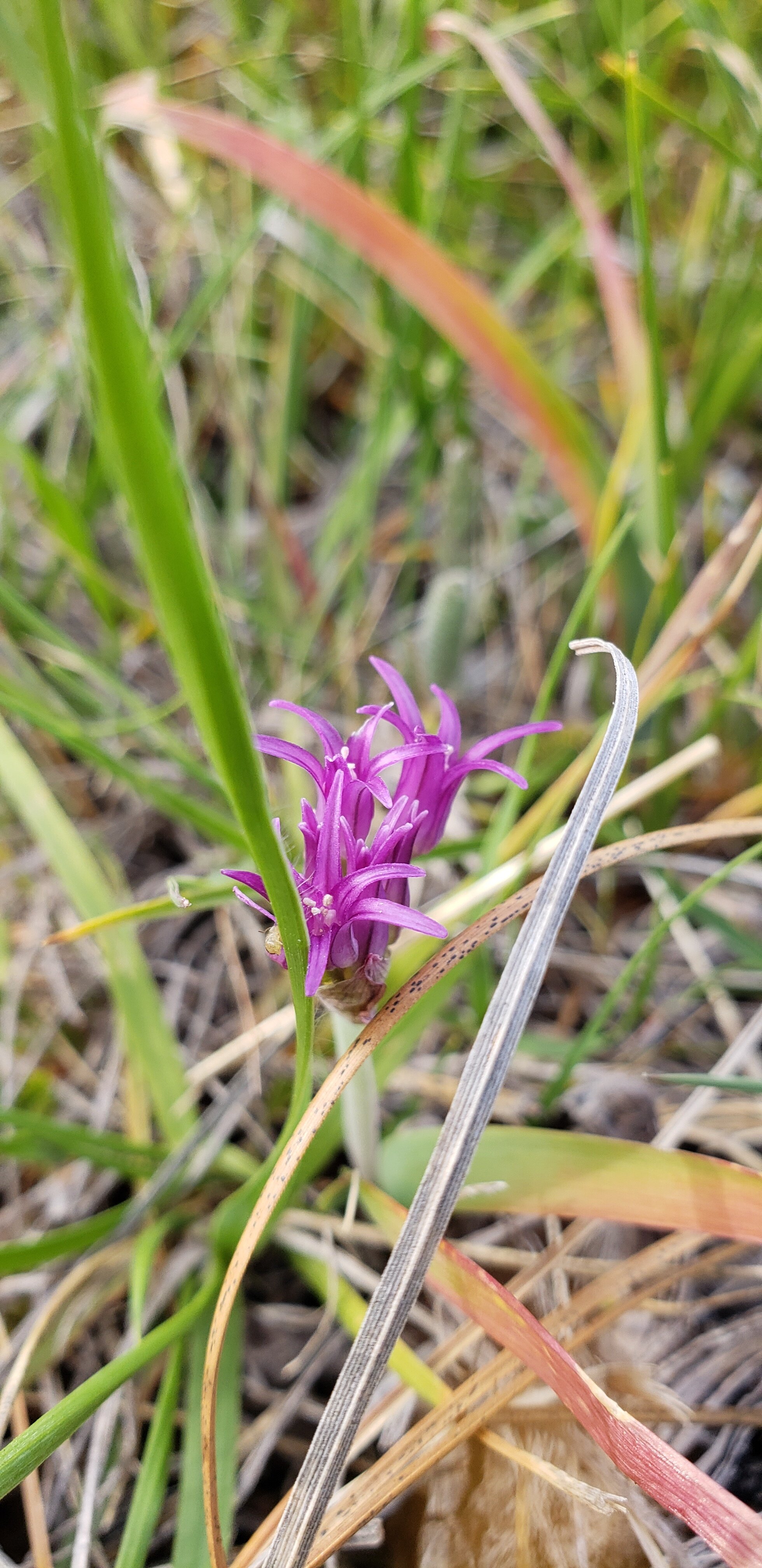
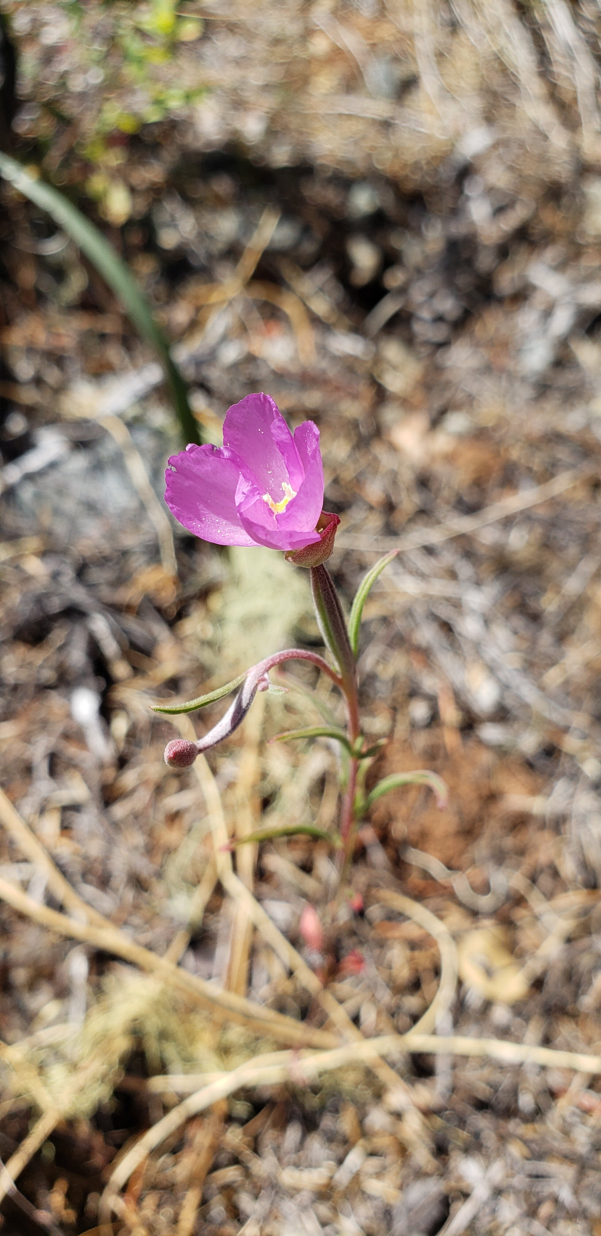
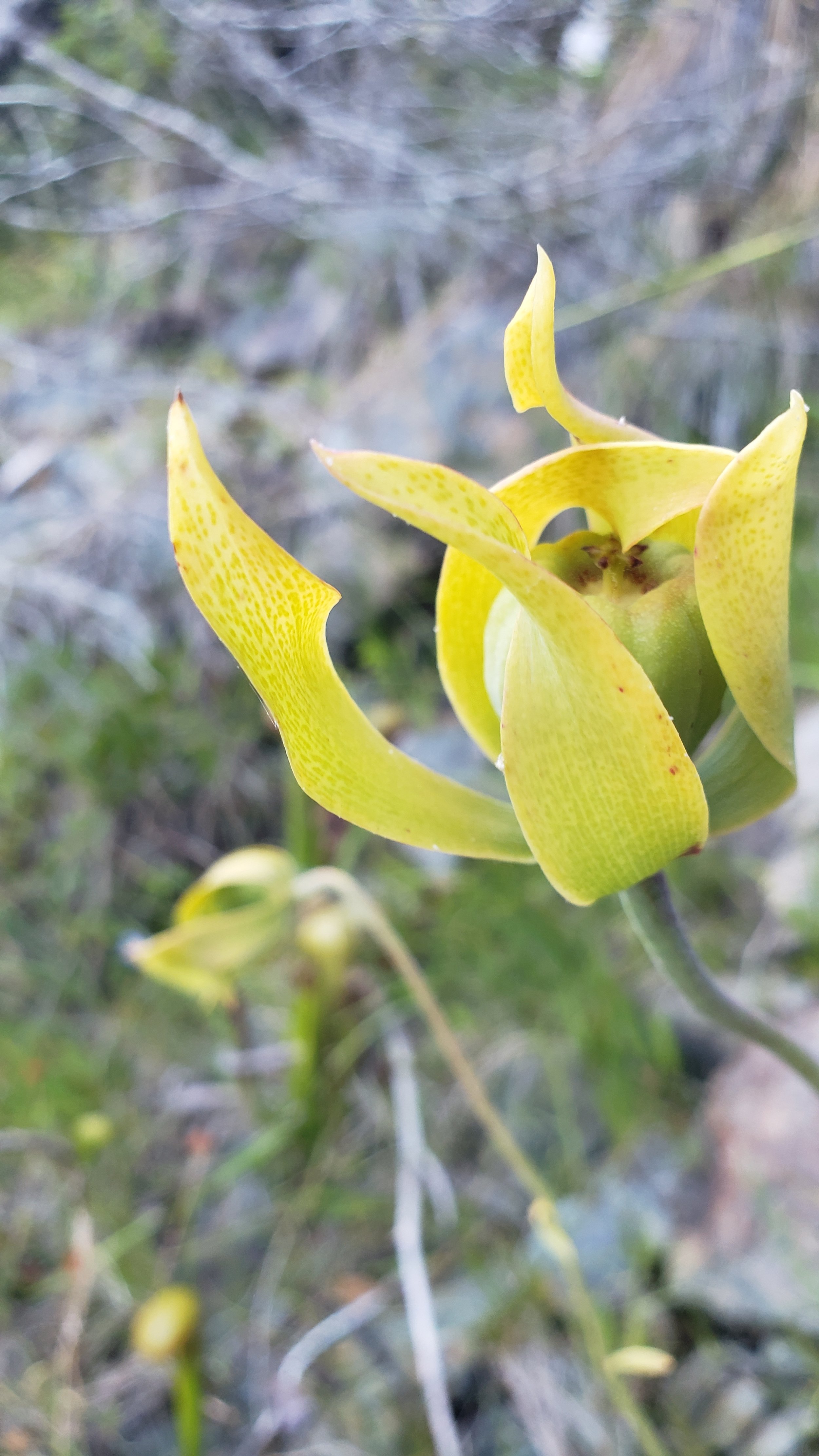
A Small Sample of the
Botanical Beauty of the Deer Creek Watershed


Explore Deer Creek’s Mature and Ancient Ecosystems

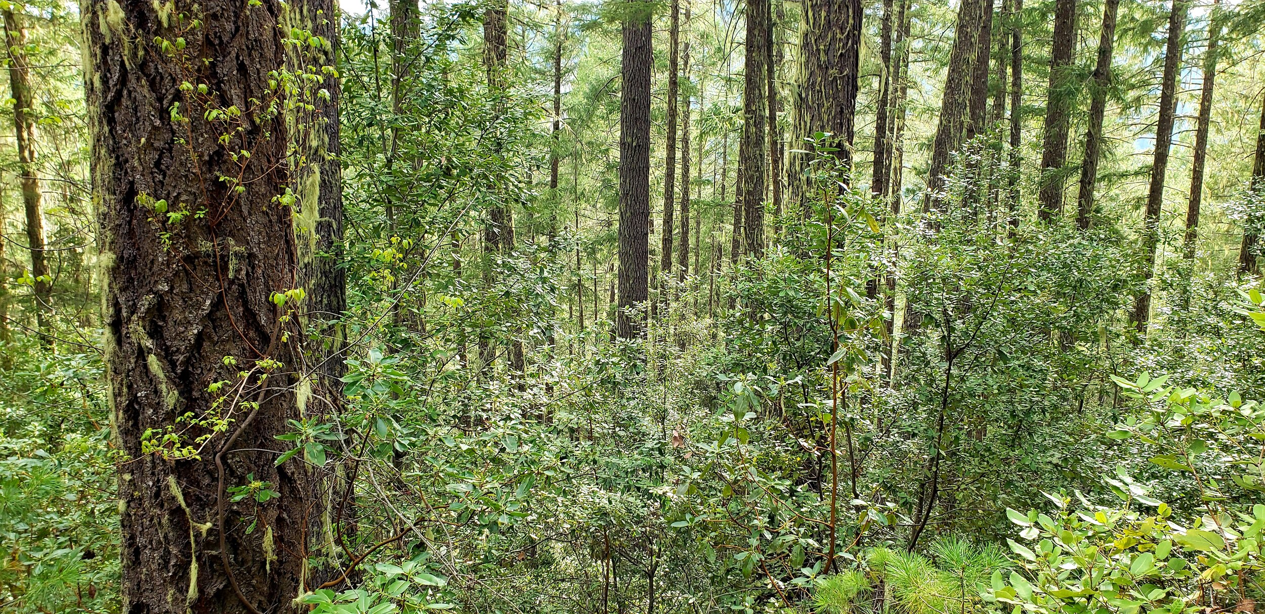
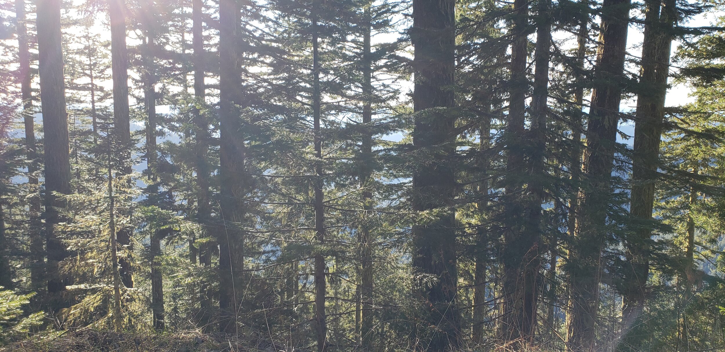
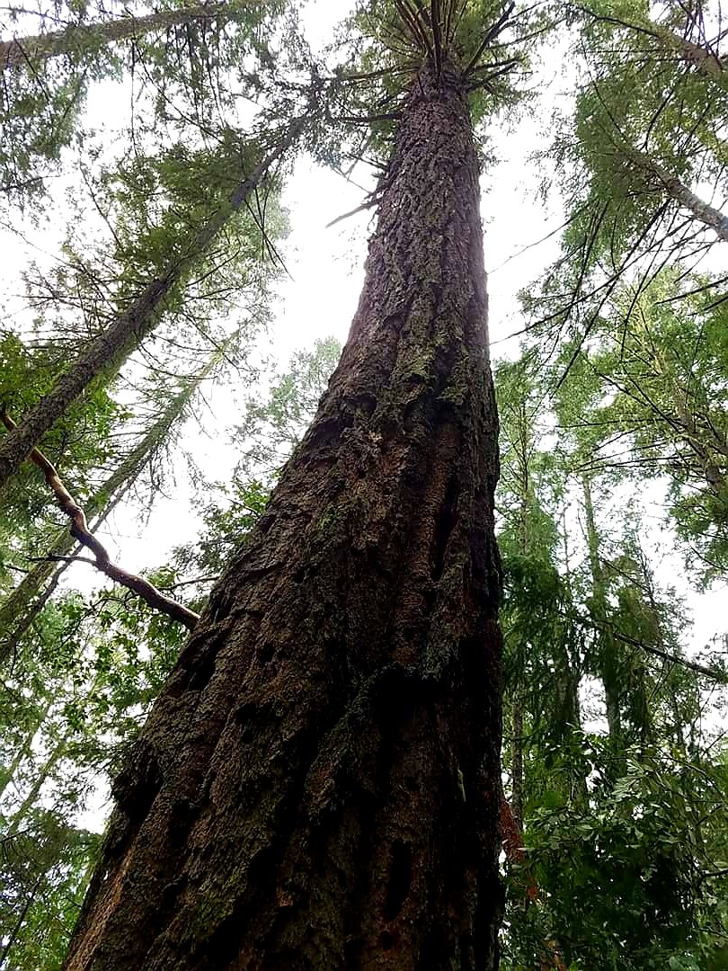
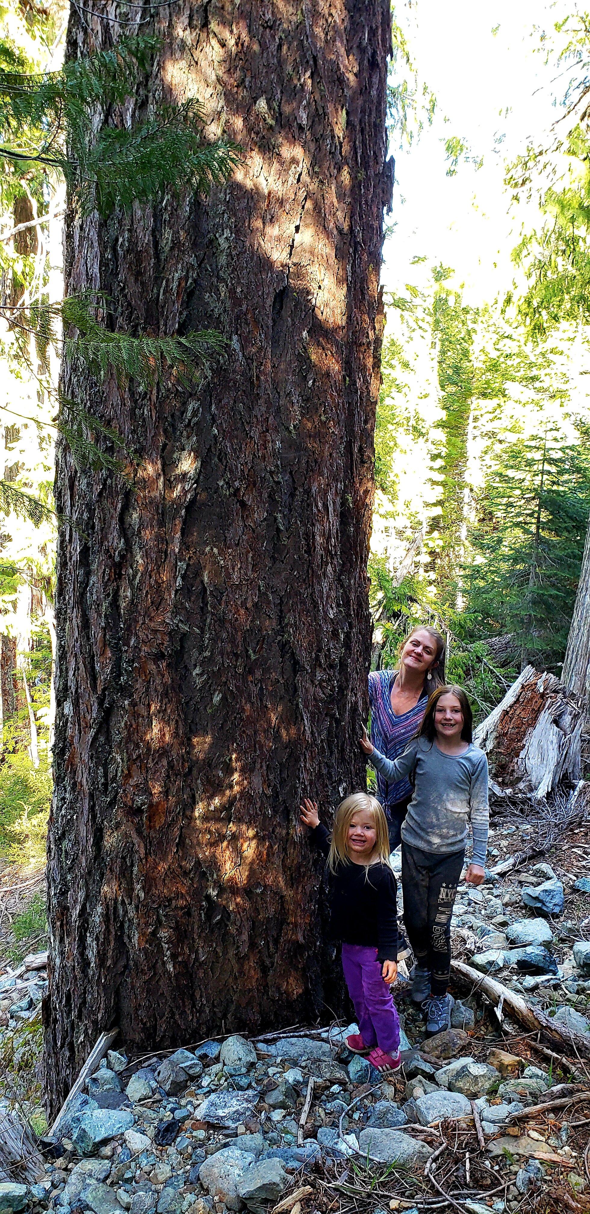

Mature, old-growth, late-seral, and late successional are terms that are often used to describe older ecosystems that have developed complex, multi-layered structures with large trees, snags, and downed wood. These ecosystems support an amazing diversity of species and provide human communities with countless benefits.
Natural succession and natural selection are crucial processes for facilitating the progression from younger to older ecosystems. We continue to advocate for preserving these natural processes and work hard to protect against practices that interrupt, or regress, these vital processes. We are fortunate to live in a place on the planet that still has intact, healthy ecosystems and strong, site-adapted genetics that can support the recovery of lands that have been logged. These places, and the species that live and sustain them, are invaluable and irreplaceable.
According to BLM’s 1997 Deer Creek Watershed Analysis, over 13,000 acres, which is close to half of the lands in this watershed managed by the BLM, were considered “mature/old growth, 21+ dbh” (diameter at breast height). Over 25 years later, and after many stopped or abandoned timber sales and thinning projects, this number is likely even higher now as younger ecosystems are allowed to move through ecological succession processes. Protecting these lands, genetic traits, and natural processes is crucial to the recovery of our watershed from past harms and to help buffer our community from the ongoing collateral damages of destructive private land practices.
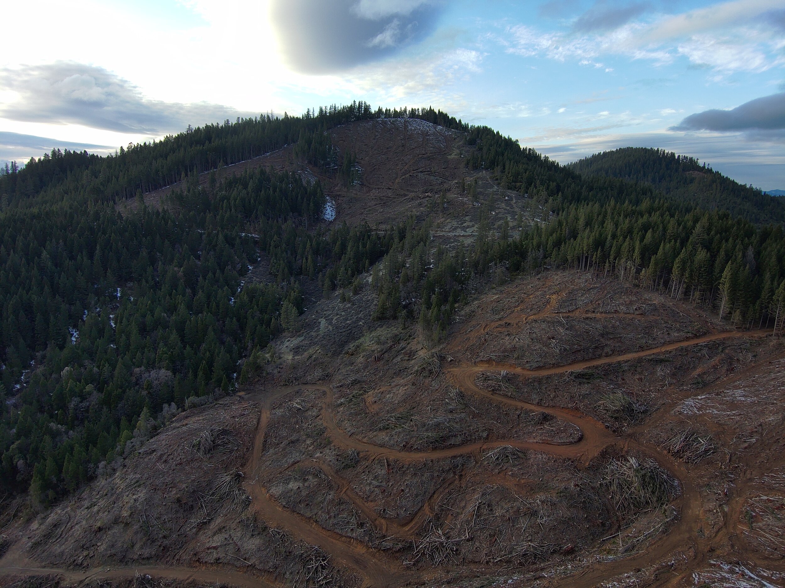
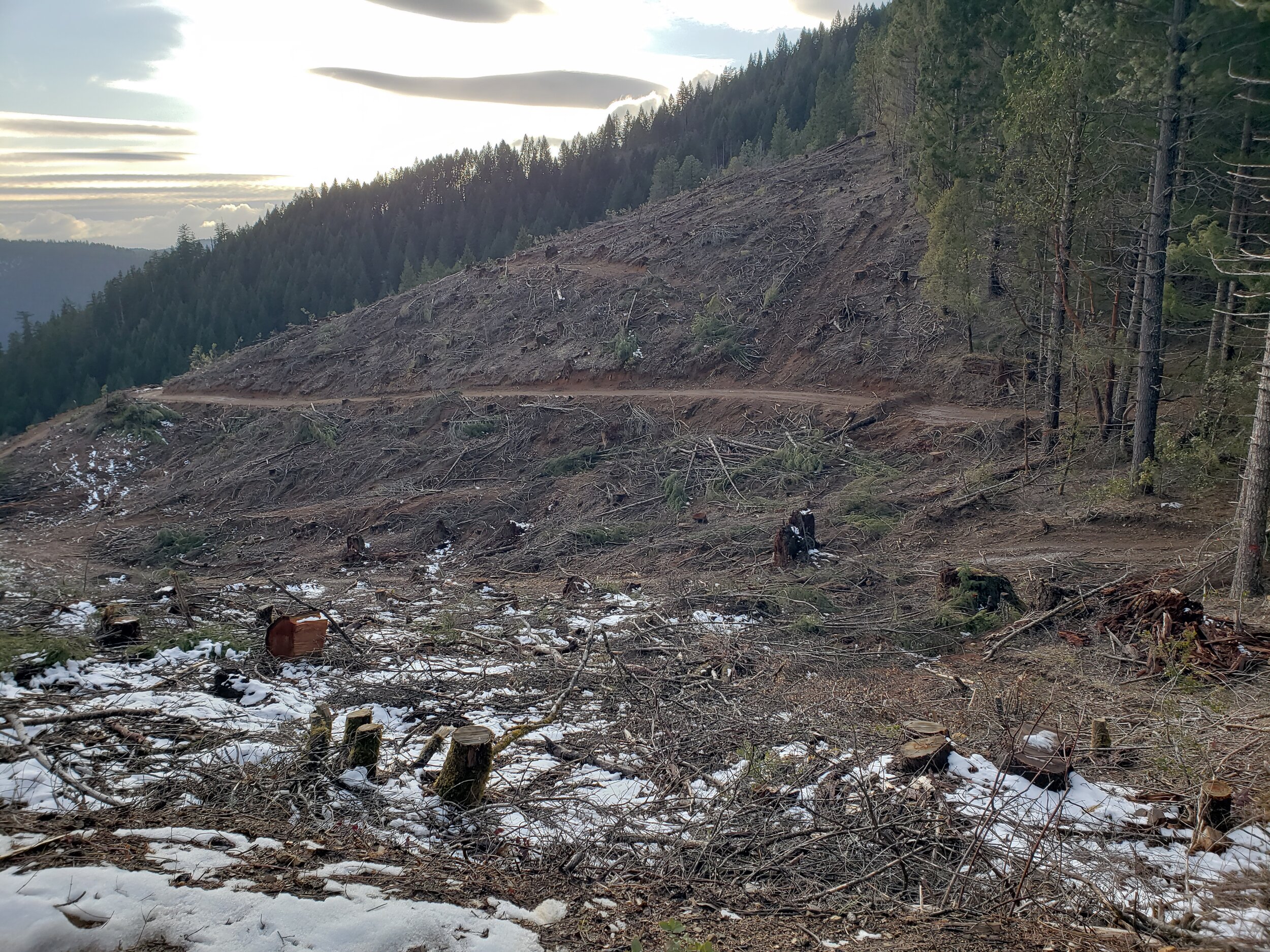
The mixed coniferous plant communities that are dominant on the slopes of the east side of Highway 199 have been heavily impacted by logging on both private and federal lands over the last 50 years. Timber harvest on private land began to increase in the late 1980's. Currently most private lands are in early seral stage to pole stage, with little mature forest. Timber stands on federal lands range from recent clearcuts to unmanaged old-growth stands. Due to the checkerboard ownership pattern of the BLM, and previous harvest entries, remaining mature and old-growth habitats are widely scattered and do not provide adequate dispersal paths for many low mobility species. In addition, a large percent of the remnant old-growth stands are too small to serve as quality habitat for interior forest late-successional species. Nevertheless, remnant stands of older forest provide habitat for animals with small home ranges, some level of dispersal for old-growth species, thermal cover for big-game, habitat for soil organisms, refugia for bryophytes and fungi (mycorrhiza), and are anchor locations for expanding this habitat type in the watershed.
-BLM’s 1997 Deer Creek Watershed Analysis
Endangered Northern Spotted Owl Territory
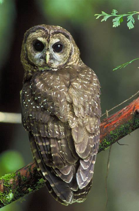
Northern Spotted Owl Photo: Pixabay
The entire eastern half of the Deer Creek watershed was designated as part of an 85,000 acre “Northern Spotted Owl Large Block Late Successional Reserve” under BLM’s 2016 Resource Management Plan. However, despite this “reserve” designation, the BLM is targeting all Late Successional Reserve (LSR) lands in the Medford District for aggressive logging projects under the 2020 Integrated Vegetation Management (IVM) Programmatic Environmental Assessment.
BLM claims that this logging will increase “resiliency” and help the Northern Spotted Owl survive in the long run, despite solid evidence to the contrary. Protecting the habitat and connectivity of these lands from the IVM is the most important way we can protect imperiled species such as the NSO.
DCA’s Watershed Watch Program has been heavily involved in the IVM since BLM released the IVM in 2019. We continue to participate in, monitor, and network with our allies, on IVM projects such as the Late Mungers Project, which targets the Large Block LSR lands in the Williams Creek, Murphy Creek, and Deer Creek watersheds. Learn more
Irreplaceable Community Values
Public lands in the Deer Creek watershed provide countless values and benefits, some of them including:
Clean water for people, fish, and everything in between.
High-quality wildlife habitat and habitat connectivity for the whole food web, from cougars, bears, and eagles to pollinators and microorganisms in the soil.
Mature and late seral ecosystems with large, fire-resistant trees. The canopies from these large trees produce cool, moist, wind-buffered microclimates that help buffer nearby residents and communities from wildfire.
Strongholds for threatened and endangered species.
Vast stores of carbon, both above and below the soil.
Powerful carbon sequestration capacity.
Micro to macro climate moderation.
Local economic stability through supporting our amenity-based economy and optimizing property values.
World-class recreational and educational opportunities for residents and tourists.
Clean air, food, medicine, wood products, family traditions, quality of life, and so much more.
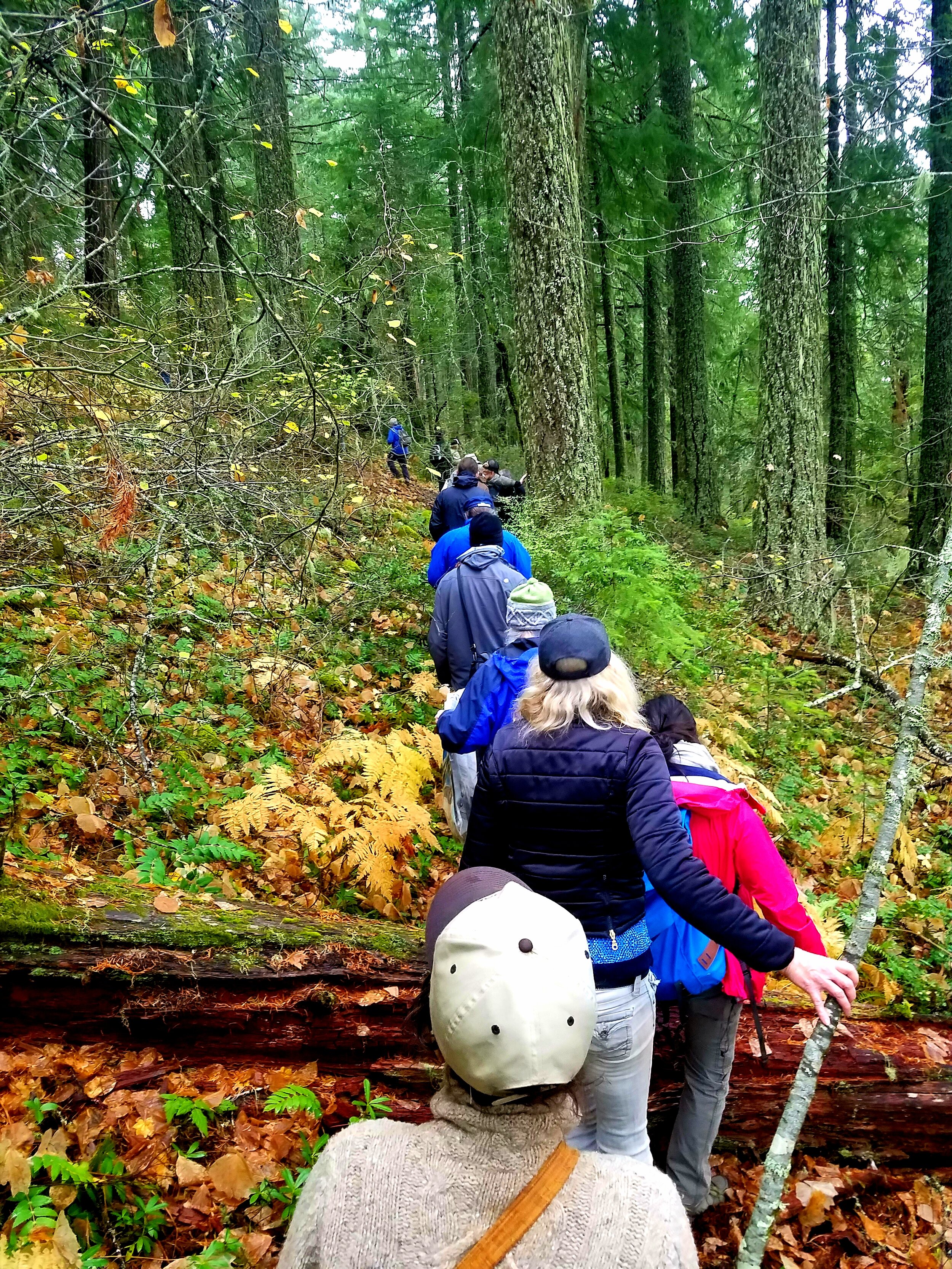
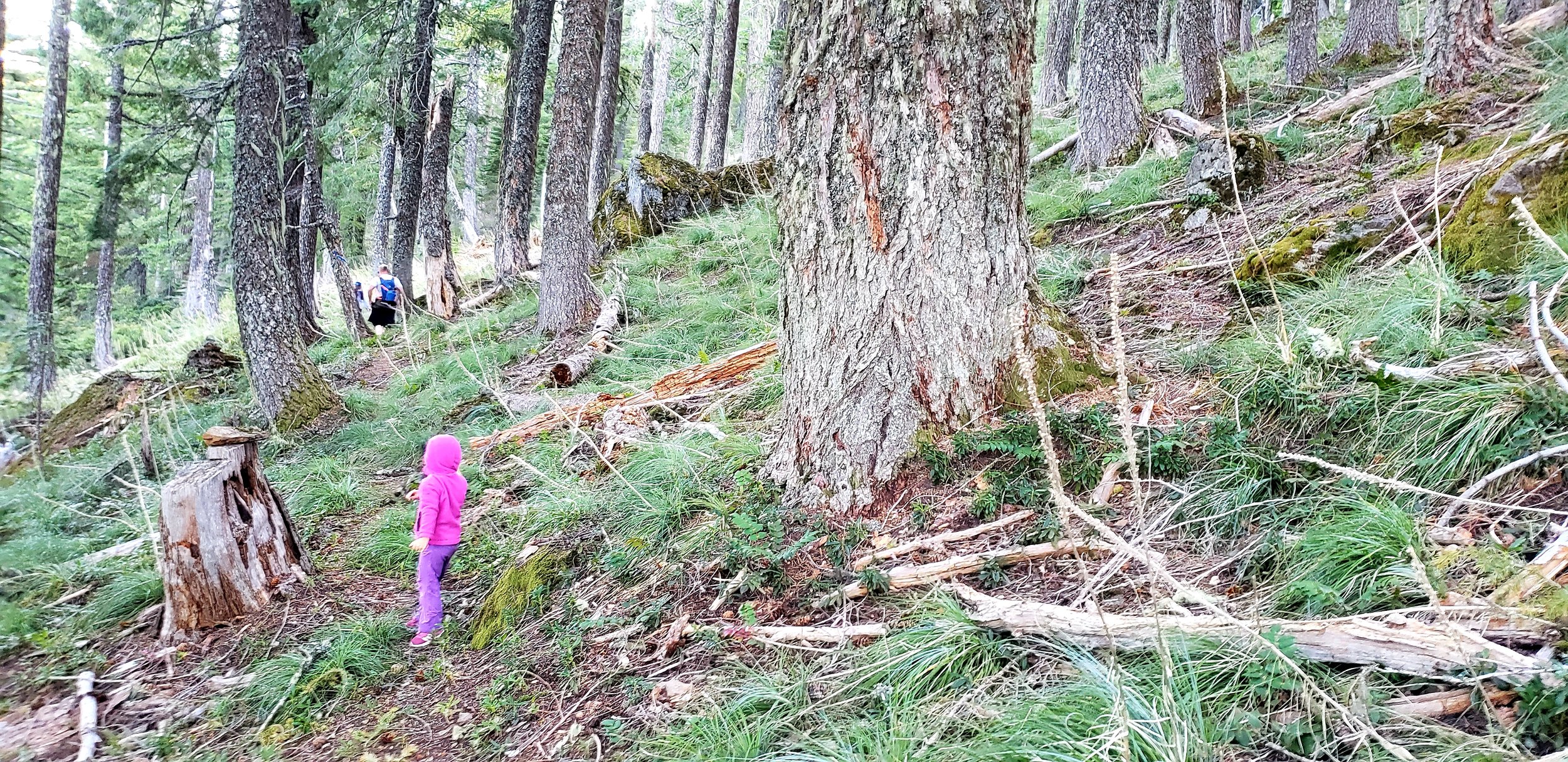
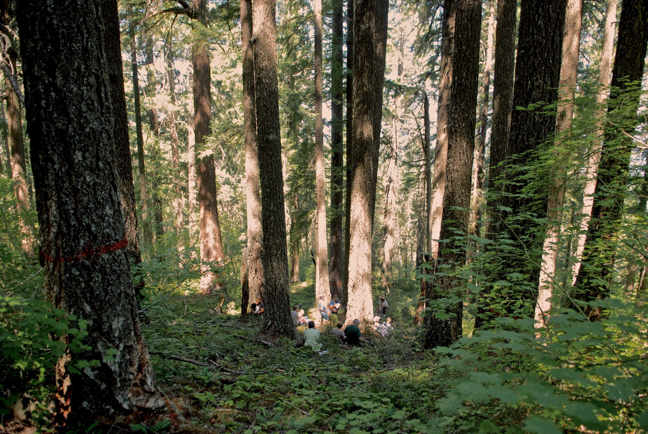
November 11, 2017 Community Hike to Clean Slate (and former Pickett West) Unit 3-11. Hike sponsored by DCA, KS Wild, & IV Sierra Club. This incredible ecosystem is still standing thanks to active community involvement. Photo: Deer Creek Photography

Overlooking Lake Selmac, a man-made lake that has become a prime recreation destination for locals and tourists alike. Looking further west towards the Kalmiopsis Wilderness and Wild and Scenic Illinois River, Eight Dollar Mountain can be seen on the left. Photo: Deer Creek Photography
Beauty and Biodiversity Threatened by Business as Usual
The Deer Creek watershed in Selma, Oregon, is home to a rural, frontline community in a unique and biodiverse area that has been heavily impacted by forest management practices on both public and private lands.
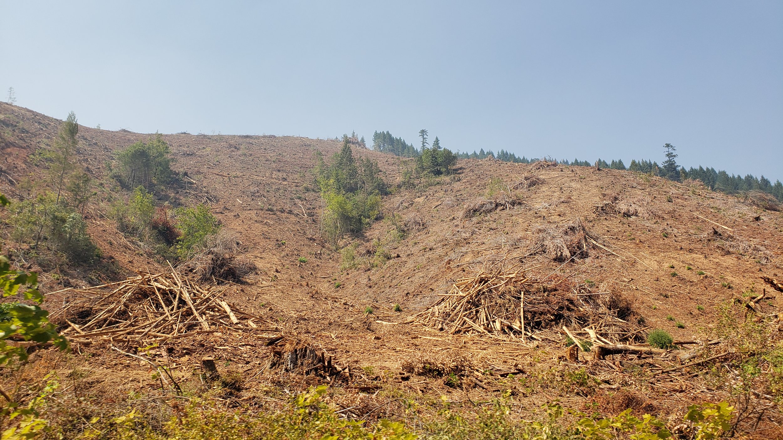
Corporate Timberland Management: Clearcuts & Pesticides
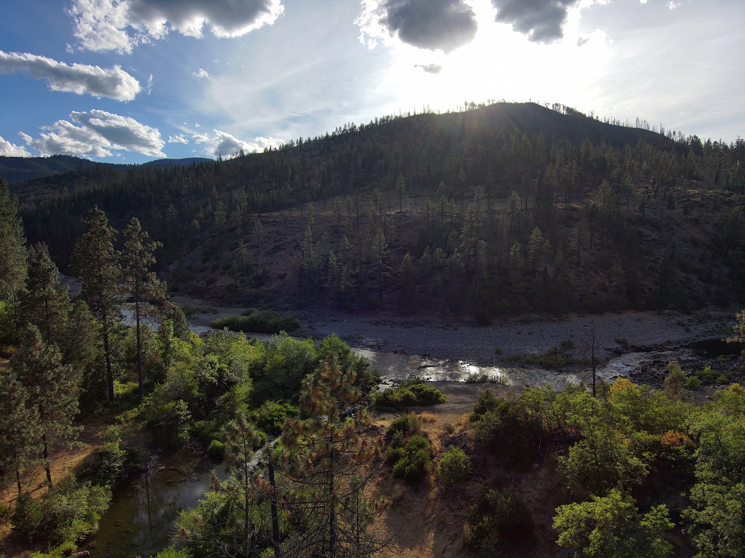
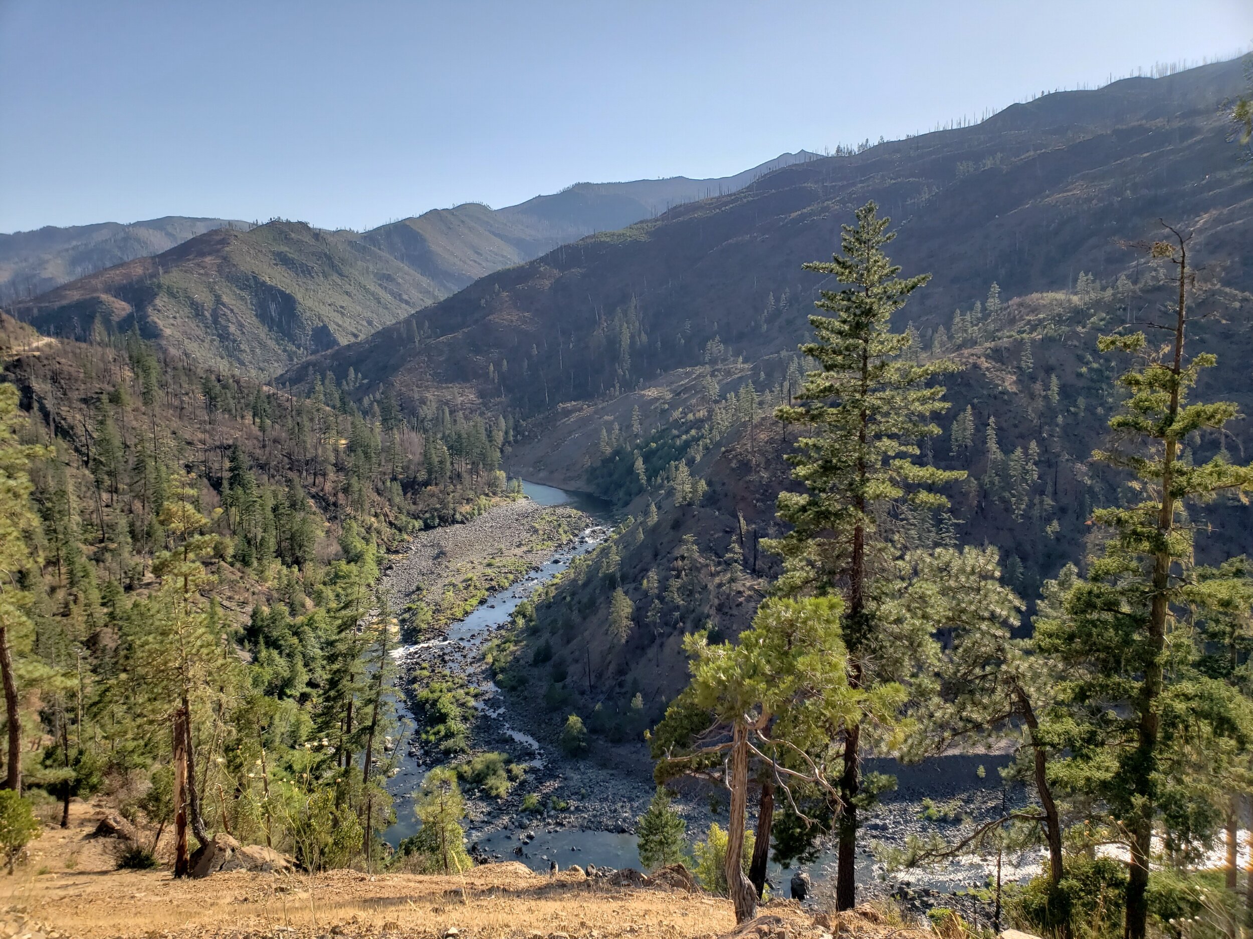
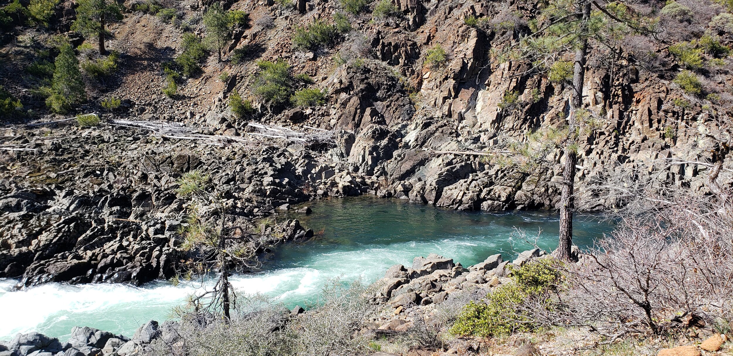
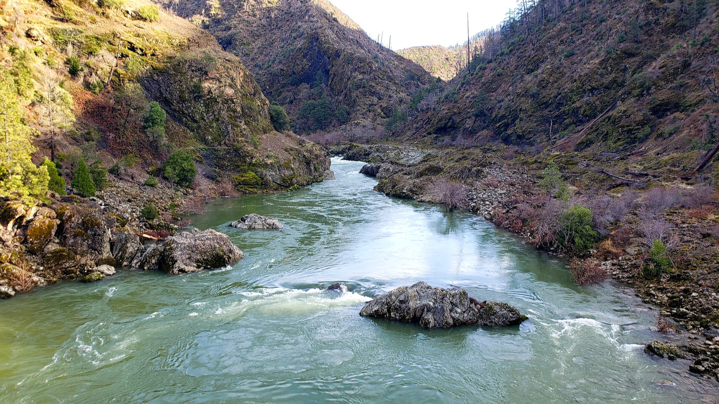
Deer Creek: Major Tributary to the Wild and Scenic Illinois River

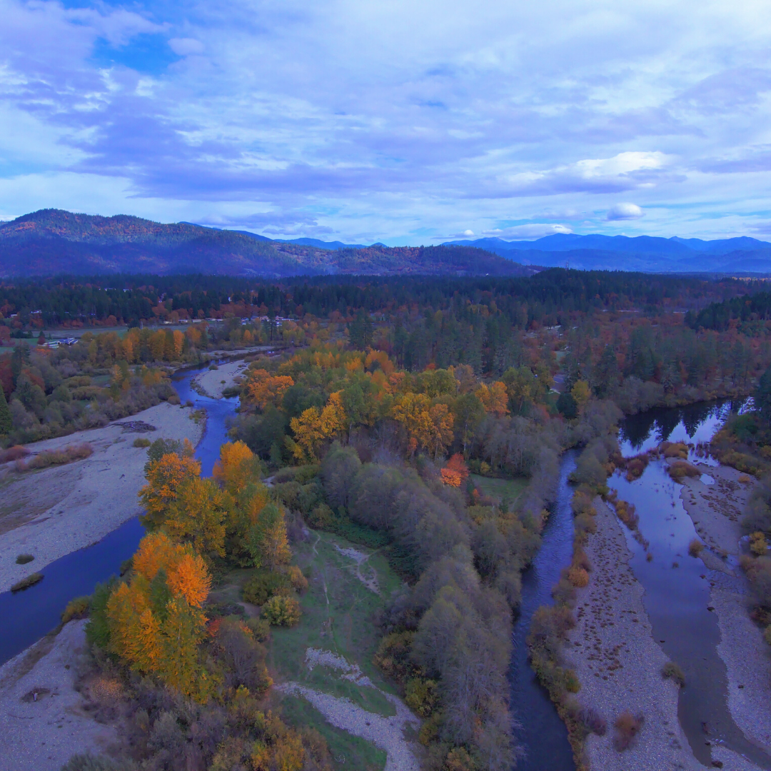
Overlooking the confluence of Deer Creek and the Wild and Scenic Illinois River, west of the small town of Selma. Photo: Deer Creek Photography

Map of the Illinois River Basin in southwestern Oregon. The Deer Creek watershed, outlined in black, is a major tributary to the Wild and Scenic Illinois River, which flows into the Wild and Scenic Rogue River. Source: kalmiopsiswild.org (black outline added)
The Illinois River: Largest Tributary to the Mighty Rogue River
The Illinois River flows primarily south to north, with the headwaters starting in the rugged Siskiyou Mountains of northern California and finally emptying into the mighty Rogue River near Agness, Oregon. The Illinois is the largest tributary watershed of the 3.3 million-acre Rogue River watershed, which flows west from the headwaters in the Cascade Mountains near Crater Lake to the Pacific Ocean.
The Wild and Scenic Illinois River runs through a geologically rare, fire adapted landscape. In many areas, harsh serpentine soils influence vegetation patterns, species distribution, and foster incredible biodiversity. The genetic adaptations that have been occurring for eons across this landscape are irreplaceable and need protection from human disturbance.
The Wild and Scenic Illinois River in the Kalmiopsis Wilderness.
The Illinois Valley in southwestern Oregon, which includes the small city of Cave Junction and the surrounding micro-communities in Selma, Kerby, Takilma, and O’Brien, has a population of over 17,000.
The local economy in the rural IV is primarily supported by recreation and tourism. Highway 199, the main travel corridor through the Illinois Valley (IV), is one of the only cutover routes from Interstate 5 to the iconic Redwoods and Pacific Ocean.

Looking west across the Illinois Valley from the Oregon Caves National Monument.
The Oregon Caves National Monument is one of the most popular tourist destinations in the IV, while lesser-known, incredibly beautiful wild landscapes around the IV and broader Klamath-Siskiyou bioregion provide endless opportunities for adventures and discovery.
A brief tour around other parts of the incredible Illinois Valley


The Illinois River is the lifeblood of our community. While our micro-communities throughout the Illinois Valley are geographically spread out, the water connects us, infusing our culture and values with the essence of this gorgeous place on the planet we are fortunate enough to call home.
Deer Creek Association has members, volunteers, and supporters living all around the Illinois Valley and beyond.
Please consider supporting DCA’s ongoing ecosystem protection work with a tax-deductible donation. We hold deep appreciation for the support of all of our ‘Deer’ friends and neighbors!
Our Mission
Learn about our mission that continues to inspire this grassroots-led non-profit organization into its 5th decade.